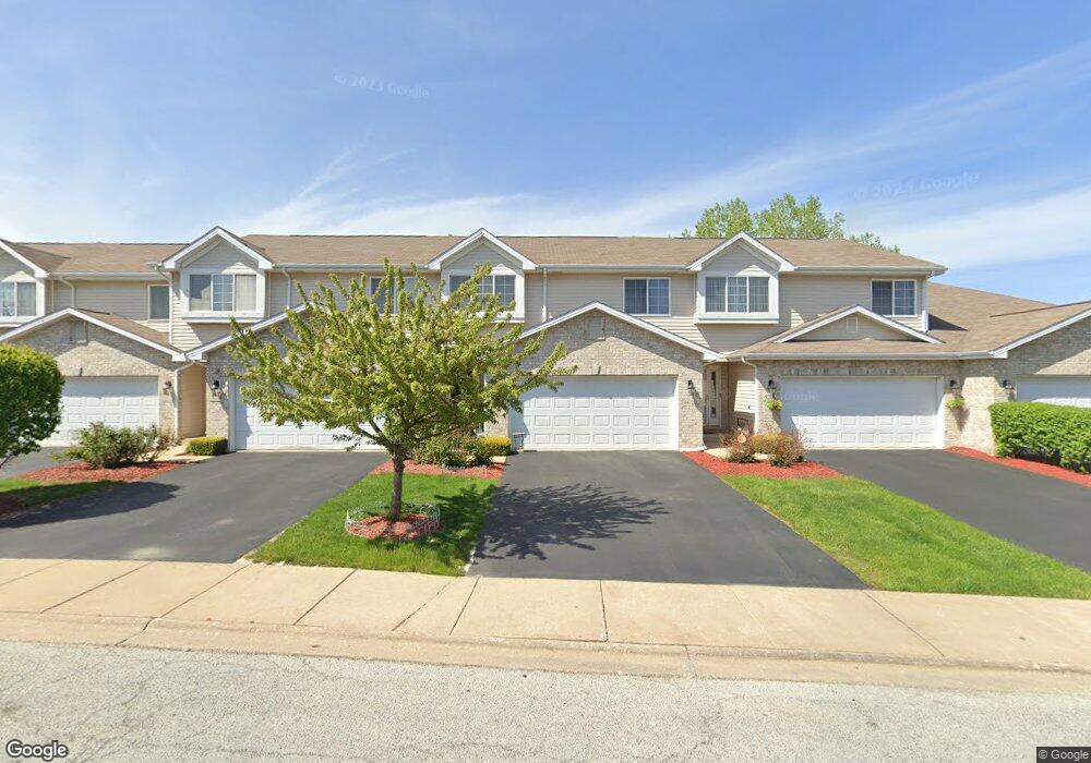
5210 Bloomsbury Ln Matteson, IL 60443
Old Matteson NeighborhoodEstimated Value: $243,585 - $286,000
3
Beds
2
Baths
1,184
Sq Ft
$224/Sq Ft
Est. Value
About This Home
This home is located at 5210 Bloomsbury Ln, Matteson, IL 60443 and is currently estimated at $264,896, approximately $223 per square foot. 5210 Bloomsbury Ln is a home located in Cook County with nearby schools including Colin Powell Middle School and Southland College Prep.
Ownership History
Date
Name
Owned For
Owner Type
Purchase Details
Closed on
Feb 6, 2008
Sold by
Southwick Courtyards Ii Llc
Bought by
Franklin Carolyn J
Current Estimated Value
Home Financials for this Owner
Home Financials are based on the most recent Mortgage that was taken out on this home.
Original Mortgage
$230,391
Outstanding Balance
$145,704
Interest Rate
6.11%
Mortgage Type
FHA
Estimated Equity
$119,192
Create a Home Valuation Report for This Property
The Home Valuation Report is an in-depth analysis detailing your home's value as well as a comparison with similar homes in the area
Home Values in the Area
Average Home Value in this Area
Purchase History
| Date | Buyer | Sale Price | Title Company |
|---|---|---|---|
| Franklin Carolyn J | $234,500 | Git |
Source: Public Records
Mortgage History
| Date | Status | Borrower | Loan Amount |
|---|---|---|---|
| Open | Franklin Carolyn J | $230,391 |
Source: Public Records
Tax History Compared to Growth
Tax History
| Year | Tax Paid | Tax Assessment Tax Assessment Total Assessment is a certain percentage of the fair market value that is determined by local assessors to be the total taxable value of land and additions on the property. | Land | Improvement |
|---|---|---|---|---|
| 2024 | $2,321 | $18,000 | $2,187 | $15,813 |
| 2023 | $3,093 | $18,000 | $2,187 | $15,813 |
| 2022 | $3,093 | $13,409 | $1,887 | $11,522 |
| 2021 | $4,006 | $13,407 | $1,886 | $11,521 |
| 2020 | $4,085 | $13,407 | $1,886 | $11,521 |
| 2019 | $3,176 | $11,986 | $1,715 | $10,271 |
| 2018 | $2,754 | $11,986 | $1,715 | $10,271 |
| 2017 | $6,275 | $11,986 | $1,715 | $10,271 |
| 2016 | $3,657 | $11,347 | $1,543 | $9,804 |
| 2015 | $4,433 | $11,347 | $1,543 | $9,804 |
| 2014 | $4,340 | $11,347 | $1,543 | $9,804 |
| 2013 | $5,638 | $14,886 | $1,543 | $13,343 |
Source: Public Records
Map
Nearby Homes
- 5228 Southwick Ct Unit 2
- 111 Echelon Cir
- 5503 Georgetown Dr
- 856 Notre Dame Dr
- 4613 Lindenwood Ct
- 953 Dartmouth Ave
- 948 Dartmouth Ave
- 858 Academy Ave
- 912 Princeton Ave
- 997 Regent Dr
- 970 Regent Dr
- 829 Princeton Ave
- 5345 Stanford Ln
- 5017 Harbor Ln
- 5631 Colgate Ln
- 820 School Ave
- 22119 Hillside Dr
- 22140 Schaaf Ct
- 4335 Lindenwood Dr
- 4329 Applewood Ln
- 5206 Bloomsbury Ln
- 5214 Bloomsbury Ln
- 5246 Bloomsbury Ln
- 5218 Bloomsbury Ln
- 5202 Bloomsbury Ln
- 5222 Bloomsbury Ln
- 5222 Bloomsbury Ln Unit 6
- 5211 Bloomsbury Ln
- 5215 Bloomsbury Ln
- 5207 Bloomsbury Ln
- 5219 Bloomsbury Ln
- 5223 Bloomsbury Ln
- 5203 Bloomsbury Ln
- 5230 Bloomsbury Ln
- 5230 Bloomsbury Ln
- 5234 Bloomsbury Ln
- 21317 Knightbridge Ct
- 21317 Knightbridge Ct Unit 1
- 21321 Knightbridge Ct
- 5226 Bloomsbury Ln