5210 S 351 Rd El Dorado Springs, MO 64744
Estimated Value: $252,630 - $394,000
--
Bed
--
Bath
2,356
Sq Ft
$149/Sq Ft
Est. Value
About This Home
This home is located at 5210 S 351 Rd, El Dorado Springs, MO 64744 and is currently estimated at $351,408, approximately $149 per square foot. 5210 S 351 Rd is a home with nearby schools including El Dorado Springs Elementary School, El Dorado Springs Middle School, and El Dorado Springs High School.
Ownership History
Date
Name
Owned For
Owner Type
Purchase Details
Closed on
Apr 15, 2005
Sold by
Davis Christopher A and Davis Wendy R
Bought by
Davis Christopher A and Davis Wendy R
Current Estimated Value
Home Financials for this Owner
Home Financials are based on the most recent Mortgage that was taken out on this home.
Original Mortgage
$62,606
Interest Rate
5.93%
Mortgage Type
New Conventional
Create a Home Valuation Report for This Property
The Home Valuation Report is an in-depth analysis detailing your home's value as well as a comparison with similar homes in the area
Home Values in the Area
Average Home Value in this Area
Purchase History
| Date | Buyer | Sale Price | Title Company |
|---|---|---|---|
| Davis Christopher A | -- | None Available |
Source: Public Records
Mortgage History
| Date | Status | Borrower | Loan Amount |
|---|---|---|---|
| Closed | Davis Christopher A | $62,606 |
Source: Public Records
Tax History Compared to Growth
Tax History
| Year | Tax Paid | Tax Assessment Tax Assessment Total Assessment is a certain percentage of the fair market value that is determined by local assessors to be the total taxable value of land and additions on the property. | Land | Improvement |
|---|---|---|---|---|
| 2025 | $972 | $23,380 | $1,570 | $21,810 |
| 2024 | $972 | $20,450 | $1,480 | $18,970 |
| 2023 | $970 | $20,450 | $0 | $0 |
| 2022 | $970 | $20,450 | $0 | $0 |
| 2021 | $930 | $20,450 | $0 | $0 |
| 2020 | $930 | $19,630 | $0 | $0 |
| 2019 | $896 | $19,630 | $0 | $0 |
| 2018 | $887 | $19,630 | $0 | $0 |
| 2017 | -- | $16,850 | $0 | $0 |
| 2016 | -- | $16,850 | $0 | $0 |
| 2015 | -- | $16,850 | $0 | $0 |
| 2014 | -- | $16,850 | $0 | $0 |
| 2013 | -- | $16,850 | $0 | $0 |
Source: Public Records
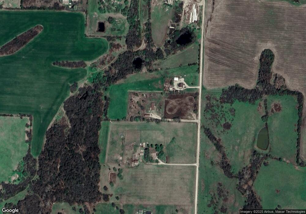
Map
Nearby Homes
- 5170 S 351 Rd
- 3825 E Highway U
- 12820 E 500 Rd
- 3475 E 500 Rd
- 3495 E Highway U
- 3342 E 500 Rd
- 3625 E 500 Rd
- 3335 E Highway U
- 3304 E Highway U
- 3510 E Highway U
- 3285 E Highway U
- 3250 E 500 Rd
- 5534 S 375 Rd
- 5610 S 375 Rd
- 3040 E Highway U
- 5720 365 Rd
- 5160 S Highway 32
- 3076 E 500 Rd
- 3040 E 500 Rd
- 3035 E 500 Rd