Estimated Value: $338,000 - $376,000
3
Beds
2
Baths
1,965
Sq Ft
$181/Sq Ft
Est. Value
About This Home
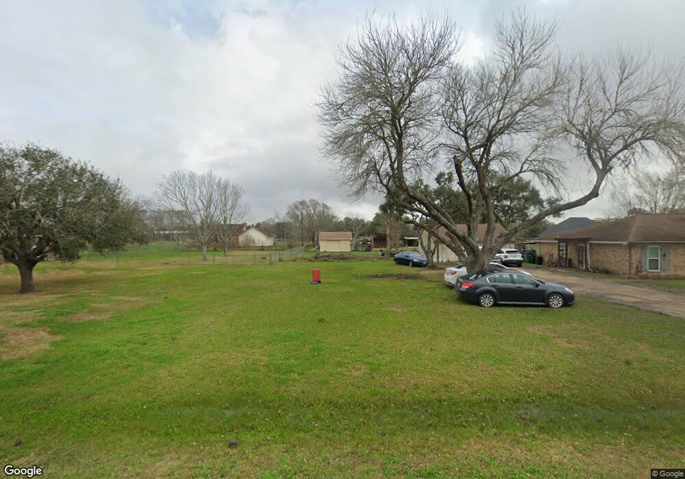
This home is located at 5211 Boreas Dr, Alvin, TX 77511 and is currently estimated at $356,053, approximately $181 per square foot. 5211 Boreas Dr is a home located in Brazoria County with nearby schools including R.L. Stevenson Primary School, Alvin Junior High School, and Alvin High School.
Ownership History
Date
Name
Owned For
Owner Type
Purchase Details
Closed on
Apr 26, 2012
Sold by
Silveridge Investments Llc
Bought by
Amason Pamela
Current Estimated Value
Purchase Details
Closed on
Jun 17, 2011
Sold by
U S Bank National Association
Bought by
Silveridge Investment Llc
Home Financials for this Owner
Home Financials are based on the most recent Mortgage that was taken out on this home.
Original Mortgage
$151,200
Interest Rate
4.7%
Mortgage Type
Purchase Money Mortgage
Purchase Details
Closed on
Dec 7, 2010
Sold by
Zahniser Derek
Bought by
U S Bank National Association
Purchase Details
Closed on
Feb 10, 2005
Sold by
Kovich Carl and Kovich Deborah Ann
Bought by
Zahniser Derek
Home Financials for this Owner
Home Financials are based on the most recent Mortgage that was taken out on this home.
Original Mortgage
$140,552
Interest Rate
8.8%
Mortgage Type
Purchase Money Mortgage
Create a Home Valuation Report for This Property
The Home Valuation Report is an in-depth analysis detailing your home's value as well as a comparison with similar homes in the area
Home Values in the Area
Average Home Value in this Area
Purchase History
| Date | Buyer | Sale Price | Title Company |
|---|---|---|---|
| Amason Pamela | -- | American Title Company | |
| Silveridge Investment Llc | -- | None Available | |
| U S Bank National Association | $122,622 | None Available | |
| Zahniser Derek | -- | American Title Co |
Source: Public Records
Mortgage History
| Date | Status | Borrower | Loan Amount |
|---|---|---|---|
| Previous Owner | Silveridge Investment Llc | $151,200 | |
| Previous Owner | Zahniser Derek | $140,552 |
Source: Public Records
Tax History Compared to Growth
Tax History
| Year | Tax Paid | Tax Assessment Tax Assessment Total Assessment is a certain percentage of the fair market value that is determined by local assessors to be the total taxable value of land and additions on the property. | Land | Improvement |
|---|---|---|---|---|
| 2025 | $2,644 | $237,584 | $71,060 | $235,020 |
| 2023 | $2,644 | $196,350 | $49,010 | $190,190 |
| 2022 | $4,071 | $191,048 | $27,440 | $168,020 |
| 2021 | $3,854 | $173,680 | $17,640 | $156,040 |
| 2020 | $3,933 | $174,900 | $24,700 | $150,200 |
| 2019 | $3,851 | $166,350 | $22,050 | $144,300 |
| 2018 | $3,563 | $153,530 | $22,050 | $131,480 |
| 2017 | $3,488 | $154,910 | $17,640 | $137,270 |
| 2016 | $3,248 | $151,300 | $21,170 | $130,130 |
| 2015 | $2,625 | $125,690 | $17,640 | $108,050 |
| 2014 | $2,625 | $126,900 | $17,640 | $109,260 |
Source: Public Records
Map
Nearby Homes
- 5000 Boreas Dr
- 2602 County Road 160
- 4802 Shadow Pond Ln
- 0000 Cr 160
- 5022 Riverview Dr
- 4003 Country Trails St
- 3724 County Road 326
- 3828 County Road 326
- 4029 County Road 326
- 3240 County Road 155
- 3889 County Road 155
- 2518 County Road 160
- 350 Old Galveston Rd
- 0 County Road 424 Unit 33916690
- 00 County Road 168
- 210 Hillcrest Dr
- 201 W Timberlane Dr
- 204 Hillcrest Dr
- 205 Hillcrest Dr
- 607 Debbie Ln
- 5202 Aurora Dr
- 5202 Boreas Dr
- 5210 Aurora Dr
- 5114 Aurora Dr
- 5101 Boreas Dr
- 5301 Boreas Dr
- 5215 Boreas Dr
- 5302 Boreas Dr
- 5324 Aurora Dr
- 5301 E Zephyr Dr
- 5102 Aurora Dr
- 47 Boreas Dr
- 5201 Aurora Dr
- 5101 Aurora Dr
- 5201 E Zephyr Dr
- 5315 Boreas Dr
- 5015 Boreas Dr
- 5325 W Zephyr Dr
- 5325 E Zephyr Dr
- 5014 County Road 378a