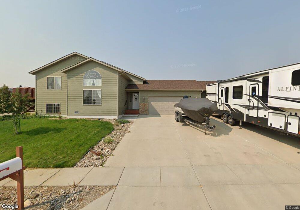
5211 Misty Woods Ln Unit 5211 Misty Woods Lan Rapid City, SD 57701
North Rapid City NeighborhoodEstimated Value: $411,000 - $441,000
4
Beds
1
Bath
1,232
Sq Ft
$344/Sq Ft
Est. Value
About This Home
This home is located at 5211 Misty Woods Ln Unit 5211 Misty Woods Lan, Rapid City, SD 57701 and is currently estimated at $424,161, approximately $344 per square foot. 5211 Misty Woods Ln Unit 5211 Misty Woods Lan is a home located in Pennington County with nearby schools including Knollwood Heights Elementary School, North Middle School, and Central High School.
Ownership History
Date
Name
Owned For
Owner Type
Purchase Details
Closed on
Jun 11, 2021
Bought by
Dog Pound Properties Llc
Current Estimated Value
Purchase Details
Closed on
Nov 1, 2012
Sold by
The Secretary Of Housing And Urban Devel
Bought by
More Glenn M and More Ann E
Purchase Details
Closed on
Sep 1, 2011
Sold by
Flagstar Bank Fsb
Bought by
Secretary Of Housing And Urban Developme
Create a Home Valuation Report for This Property
The Home Valuation Report is an in-depth analysis detailing your home's value as well as a comparison with similar homes in the area
Home Values in the Area
Average Home Value in this Area
Purchase History
| Date | Buyer | Sale Price | Title Company |
|---|---|---|---|
| Dog Pound Properties Llc | $351,000 | -- | |
| More Glenn M | -- | -- | |
| Secretary Of Housing And Urban Developme | -- | -- |
Source: Public Records
Tax History Compared to Growth
Tax History
| Year | Tax Paid | Tax Assessment Tax Assessment Total Assessment is a certain percentage of the fair market value that is determined by local assessors to be the total taxable value of land and additions on the property. | Land | Improvement |
|---|---|---|---|---|
| 2025 | $4,399 | $377,600 | $57,600 | $320,000 |
| 2024 | $4,399 | $393,000 | $57,600 | $335,400 |
| 2023 | $4,220 | $368,400 | $43,600 | $324,800 |
| 2022 | $3,853 | $313,900 | $42,400 | $271,500 |
| 2021 | $3,757 | $274,000 | $42,400 | $231,600 |
| 2020 | $3,604 | $254,500 | $42,400 | $212,100 |
| 2019 | $3,436 | $241,700 | $42,400 | $199,300 |
| 2018 | $2,973 | $221,500 | $32,400 | $189,100 |
| 2017 | $3,017 | $213,400 | $32,400 | $181,000 |
| 2016 | $2,912 | $206,500 | $32,400 | $174,100 |
| 2015 | $2,912 | $194,400 | $30,000 | $164,400 |
| 2014 | $2,862 | $187,200 | $30,000 | $157,200 |
Source: Public Records
Map
Nearby Homes
- 1124 Cobalt Dr
- 5232 Bunker Dr
- 5509 Coal Bank Dr
- 5317 Bunker Dr
- 1142 Cobalt Dr
- 1151 Cobalt Dr
- 1157 Cobalt Dr
- 1154 Cobalt Dr
- 5001 Misty Woods Ln
- 5249 Coal Bank Dr
- 872 Cobalt Dr
- 4901 Coal Bank Dr
- 5422 Other
- 4507 Misty Woods Ln
- 4508 Smoke Trail
- 4520 Smoke Trail
- 4461 Misty Woods Ln
- 4616 Chalkstone Dr Unit E
- 4616 Chalkstone Dr
- 4449 Misty Woods Ln
- 5211 Misty Woods Ln
- 5519 Coal Bank Dr
- 5135 Misty Woods Ln
- 1118 Cobalt Dr
- 5220 Misty Woods Ln
- 5212 Misty Woods Ln
- 5228 Misty Woods Ln
- 5127 Misty Woods Ln
- 5134 Misty Woods Ln
- 5134 Misty Woods Lane None
- 5429 Coal Bank Dr
- 5126 Misty Woods Ln
- 5510 Coal Bank Dr
- 1012 Cobalt Dr
- 5530 Coal Bank Dr
- 5119 Misty Woods Ln
- 5450 Coal Bank Dr
- 5520 Coal Bank Dr
- 5460 Coal Bank Dr
- 5118 Misty Woods Ln