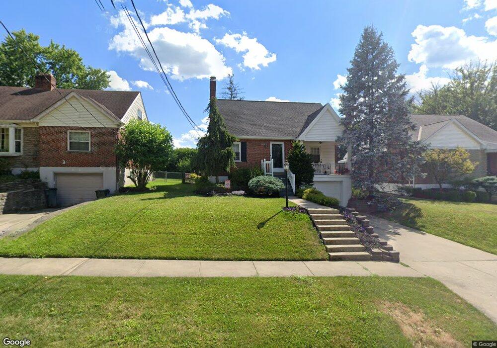
5211 Ralph Ave Cincinnati, OH 45238
Estimated Value: $234,000 - $270,000
4
Beds
2
Baths
2,032
Sq Ft
$124/Sq Ft
Est. Value
About This Home
This home is located at 5211 Ralph Ave, Cincinnati, OH 45238 and is currently estimated at $251,775, approximately $123 per square foot. 5211 Ralph Ave is a home located in Hamilton County with nearby schools including Covedale School, Gilbert A. Dater High School, and Western Hills High School.
Ownership History
Date
Name
Owned For
Owner Type
Purchase Details
Closed on
Jul 31, 2003
Sold by
Johnson Thomas W and Johnson Heather S
Bought by
Reynolds Sheila M
Current Estimated Value
Home Financials for this Owner
Home Financials are based on the most recent Mortgage that was taken out on this home.
Original Mortgage
$98,500
Outstanding Balance
$41,444
Interest Rate
5.47%
Mortgage Type
Unknown
Estimated Equity
$210,331
Create a Home Valuation Report for This Property
The Home Valuation Report is an in-depth analysis detailing your home's value as well as a comparison with similar homes in the area
Home Values in the Area
Average Home Value in this Area
Purchase History
| Date | Buyer | Sale Price | Title Company |
|---|---|---|---|
| Reynolds Sheila M | $128,500 | Advanced Land Title Agency L |
Source: Public Records
Mortgage History
| Date | Status | Borrower | Loan Amount |
|---|---|---|---|
| Open | Reynolds Sheila M | $98,500 |
Source: Public Records
Tax History
| Year | Tax Paid | Tax Assessment Tax Assessment Total Assessment is a certain percentage of the fair market value that is determined by local assessors to be the total taxable value of land and additions on the property. | Land | Improvement |
|---|---|---|---|---|
| 2025 | $4,263 | $70,504 | $10,584 | $59,920 |
| 2023 | $4,230 | $70,504 | $10,584 | $59,920 |
| 2022 | $3,080 | $42,868 | $8,456 | $34,412 |
| 2021 | $2,796 | $42,868 | $8,456 | $34,412 |
| 2020 | $2,836 | $42,868 | $8,456 | $34,412 |
| 2019 | $2,814 | $38,277 | $7,550 | $30,727 |
| 2018 | $2,820 | $38,277 | $7,550 | $30,727 |
| 2017 | $2,693 | $38,277 | $7,550 | $30,727 |
| 2016 | $2,634 | $36,740 | $7,770 | $28,970 |
| 2015 | $2,373 | $36,740 | $7,770 | $28,970 |
| 2014 | $2,389 | $36,740 | $7,770 | $28,970 |
| 2013 | $2,338 | $37,111 | $7,847 | $29,264 |
Source: Public Records
Map
Nearby Homes
- 5132 Ralph Ave
- 5183 Cleves Warsaw Pike
- 5114 Cleves Warsaw Pike
- 5140 Willnet Dr
- 1650 Colonial Dr
- 1157 Beechmeadow Ln
- 1141 Covedale Ave
- 5152 Highview Dr
- 5020 Sidney Rd
- 4915 Heuwerth Ave
- 1092 Morado Dr
- 5352 Laured Place
- 4965 Glenway Ave
- 5311 Rawhide Ct
- 5433 Cleves Warsaw Pike
- 1086 Benz Ave
- 949 Anderson Ferry Rd
- 951 Villa View Ct
- 4778 Prosperity Place
- 5256 Glen Creek Dr
Your Personal Tour Guide
Ask me questions while you tour the home.