52112 Brushy Branch Ln Loranger, LA 70446
Estimated Value: $134,116 - $264,000
--
Bed
--
Bath
1,528
Sq Ft
$127/Sq Ft
Est. Value
About This Home
This home is located at 52112 Brushy Branch Ln, Loranger, LA 70446 and is currently estimated at $194,279, approximately $127 per square foot. 52112 Brushy Branch Ln is a home located in Tangipahoa Parish with nearby schools including Loranger Elementary School, Loranger Middle School, and Loranger High School.
Ownership History
Date
Name
Owned For
Owner Type
Purchase Details
Closed on
Dec 28, 2006
Sold by
Sullivan Diana Pisciotta
Bought by
Perret Edward Michael and Perret Jrperret Stephaine Sullivan
Current Estimated Value
Home Financials for this Owner
Home Financials are based on the most recent Mortgage that was taken out on this home.
Original Mortgage
$88,000
Outstanding Balance
$52,497
Interest Rate
6.27%
Mortgage Type
New Conventional
Estimated Equity
$141,782
Create a Home Valuation Report for This Property
The Home Valuation Report is an in-depth analysis detailing your home's value as well as a comparison with similar homes in the area
Home Values in the Area
Average Home Value in this Area
Purchase History
| Date | Buyer | Sale Price | Title Company |
|---|---|---|---|
| Perret Edward Michael | $120,000 | None Available |
Source: Public Records
Mortgage History
| Date | Status | Borrower | Loan Amount |
|---|---|---|---|
| Open | Perret Edward Michael | $88,000 |
Source: Public Records
Tax History Compared to Growth
Tax History
| Year | Tax Paid | Tax Assessment Tax Assessment Total Assessment is a certain percentage of the fair market value that is determined by local assessors to be the total taxable value of land and additions on the property. | Land | Improvement |
|---|---|---|---|---|
| 2024 | $543 | $7,565 | $1,000 | $6,565 |
| 2023 | $541 | $7,497 | $932 | $6,565 |
| 2022 | $541 | $7,497 | $932 | $6,565 |
| 2021 | $541 | $7,497 | $932 | $6,565 |
| 2020 | $541 | $7,497 | $932 | $6,565 |
| 2019 | $541 | $7,497 | $932 | $6,565 |
| 2018 | $541 | $7,497 | $932 | $6,565 |
| 2017 | $541 | $7,497 | $932 | $6,565 |
| 2016 | $541 | $7,497 | $932 | $6,565 |
| 2015 | $22 | $7,782 | $932 | $6,850 |
| 2014 | $21 | $7,782 | $932 | $6,850 |
Source: Public Records
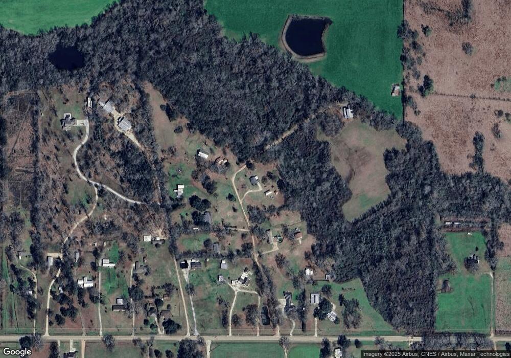
Map
Nearby Homes
- 19522 Deerfield Loop
- 19491 Deerfield Loop None
- 19499 Deerfield Loop
- 51400 Narretto Rd
- 19321 Deerfield Loop
- 19367 Deerfield Loop
- 0 Lanier Creek Rd
- 20021 Gleber Dr
- La 40 Unit LotWP001
- 20018 Bankston Ln
- 19072 Jaelyn Dr
- TRACT 8 Cyprian Rd
- 53384 N Highway 40 Hwy
- 2C & 2D Simmons Rd
- Parcel 2-D Simmons Rd
- Parcel 2-C Simmons Rd
- 52254 Puls Ct
- 53361 Caitlyns Way
- 53361 Caitlyn`s Way None
- 52111 Brushy Branch Ln
- 52058 Brushy Branch Ln
- 52085 Brushy Branch Ln
- 52059 Brushy Branch Ln
- 0 Brushy Branch Ln Unit 201304477
- 0 Brushy Branch Ln Unit 2101770
- 20283 Highway 40
- 52199 Brushy Branch Ln
- 20327 Highway 40
- 20325 Highway 40
- 52146 Harmon Trace
- 52146 Harmon Trace
- 20215 Highway 40
- 20343 Highway 40
- 20239 Highway 40
- 20231 Highway 40
- 20231 Hwy 40 None
- 20231 Louisiana 40
- 20203 Highway 40
- 20254 Highway 40