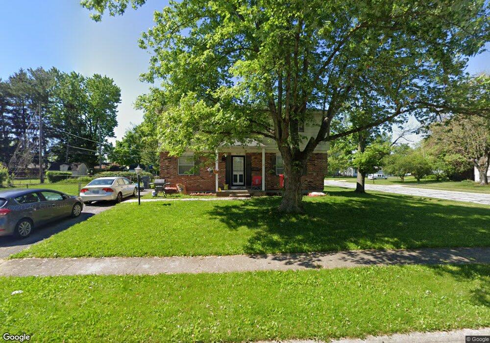
5213 Tuxworth Dr Columbus, OH 43232
East Columbus-White Ash NeighborhoodEstimated Value: $250,000 - $297,000
4
Beds
3
Baths
1,728
Sq Ft
$152/Sq Ft
Est. Value
About This Home
This home is located at 5213 Tuxworth Dr, Columbus, OH 43232 and is currently estimated at $263,070, approximately $152 per square foot. 5213 Tuxworth Dr is a home located in Franklin County with nearby schools including Groveport Madison High School, A+ Arts Academy, and Eastland Preparatory Academy.
Ownership History
Date
Name
Owned For
Owner Type
Purchase Details
Closed on
Nov 7, 2008
Sold by
Blanton Margaret
Bought by
Eby Edward J
Current Estimated Value
Purchase Details
Closed on
Feb 2, 1996
Sold by
Edward J Plernjai
Bought by
Margaret Blanton
Purchase Details
Closed on
May 20, 1992
Create a Home Valuation Report for This Property
The Home Valuation Report is an in-depth analysis detailing your home's value as well as a comparison with similar homes in the area
Home Values in the Area
Average Home Value in this Area
Purchase History
| Date | Buyer | Sale Price | Title Company |
|---|---|---|---|
| Eby Edward J | -- | Attorney | |
| Margaret Blanton | $46,400 | -- | |
| -- | $66,300 | -- |
Source: Public Records
Tax History Compared to Growth
Tax History
| Year | Tax Paid | Tax Assessment Tax Assessment Total Assessment is a certain percentage of the fair market value that is determined by local assessors to be the total taxable value of land and additions on the property. | Land | Improvement |
|---|---|---|---|---|
| 2024 | $2,998 | $71,750 | $17,290 | $54,460 |
| 2023 | $3,007 | $71,750 | $17,290 | $54,460 |
| 2022 | $1,777 | $38,050 | $7,560 | $30,490 |
| 2021 | $1,820 | $38,050 | $7,560 | $30,490 |
| 2020 | $1,824 | $38,050 | $7,560 | $30,490 |
| 2019 | $1,739 | $33,290 | $6,580 | $26,710 |
| 2018 | $1,715 | $33,290 | $6,580 | $26,710 |
| 2017 | $1,721 | $33,290 | $6,580 | $26,710 |
| 2016 | $1,682 | $30,000 | $4,660 | $25,340 |
| 2015 | $1,681 | $30,000 | $4,660 | $25,340 |
| 2014 | $1,538 | $30,000 | $4,660 | $25,340 |
| 2013 | $777 | $33,320 | $5,180 | $28,140 |
Source: Public Records
Map
Nearby Homes
- 5125 Upton Rd N
- 2998 Osgood Rd E
- 3000 Whitlow Rd
- 3246 Latonia Rd
- 2901 Renfro Rd
- 5373 Spire Ln
- 3387 Retriever Rd
- 5152 Burdett Dr
- 2900 Ronda Rd
- 5401 Spire Ln
- 5397 Jack Russell Way
- 4847 Amber Crossing Dr
- 4784 Nieles Edge Dr
- 4783 Nieles Edge Dr
- 5137 Holbrook Dr
- 5254 Sedalia Dr
- 4906 Refugee Rd
- 5377 Bleaker Ave
- 5522 Newport Ct
- 3289 Kady Ln
- 3088 Dunloe Rd
- 5225 Tuxworth Dr
- 5153 Tuxworth Dr
- 3100 Dunloe Rd
- 5233 Tuxworth Dr
- 3060 Dunloe Rd
- 5218 Tuxworth Dr
- 5177 Tuxworth Ct
- 5228 Tuxworth Dr
- 3087 Dunloe Rd
- 3106 Dunloe Rd
- 5241 Tuxworth Dr
- 5190 Rutledge Dr N
- 3061 Dunloe Rd
- 5236 Tuxworth Dr
- 5262 Sundale Place N
- 3112 Dunloe Rd
- 3119 Sundale Place W
- 5249 Tuxworth Dr
- 5244 Tuxworth Dr