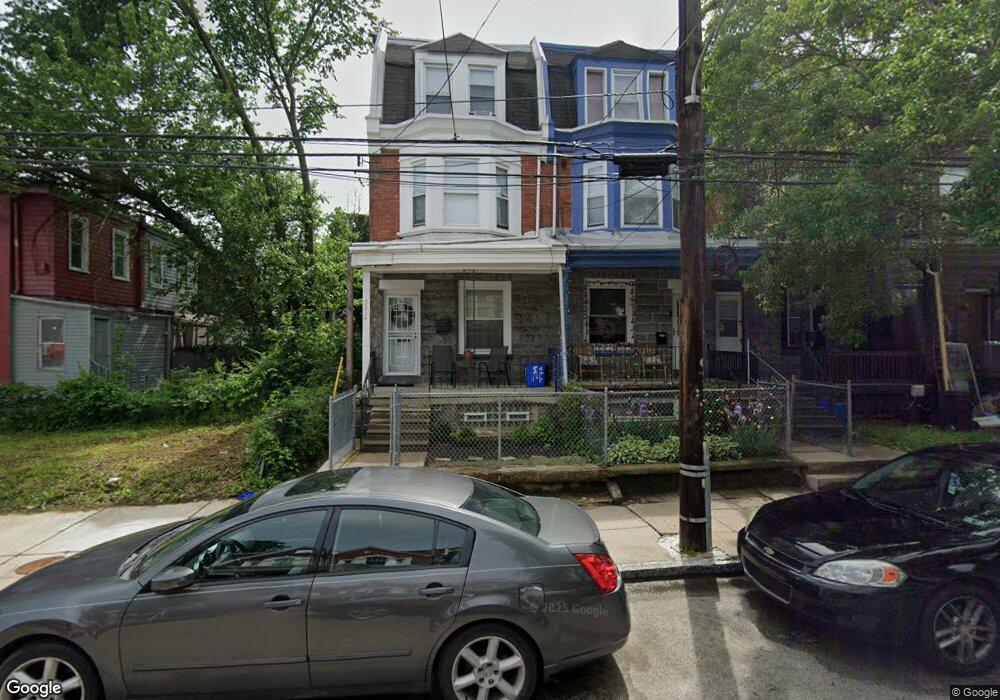
5214 Knox St Philadelphia, PA 19144
Germantown NeighborhoodEstimated Value: $220,000 - $291,000
--
Bed
--
Bath
1,881
Sq Ft
$135/Sq Ft
Est. Value
About This Home
This home is located at 5214 Knox St, Philadelphia, PA 19144 and is currently estimated at $253,563, approximately $134 per square foot. 5214 Knox St is a home located in Philadelphia County with nearby schools including John B. Kelly School, Roosevelt Theodore Middle School, and Martin Luther King High School.
Ownership History
Date
Name
Owned For
Owner Type
Purchase Details
Closed on
Jun 29, 2007
Sold by
Vaughn Annie L
Bought by
Vaughn Annie L and Vaughn Irving
Current Estimated Value
Home Financials for this Owner
Home Financials are based on the most recent Mortgage that was taken out on this home.
Original Mortgage
$93,750
Interest Rate
6.39%
Mortgage Type
New Conventional
Purchase Details
Closed on
Oct 30, 1995
Sold by
Vaughn Annie L and Tyson Joe T
Bought by
Vaughn Annie L
Create a Home Valuation Report for This Property
The Home Valuation Report is an in-depth analysis detailing your home's value as well as a comparison with similar homes in the area
Home Values in the Area
Average Home Value in this Area
Purchase History
| Date | Buyer | Sale Price | Title Company |
|---|---|---|---|
| Vaughn Annie L | -- | First American Title Ins Co | |
| Vaughn Annie L | -- | -- |
Source: Public Records
Mortgage History
| Date | Status | Borrower | Loan Amount |
|---|---|---|---|
| Closed | Vaughn Annie L | $93,750 |
Source: Public Records
Tax History Compared to Growth
Tax History
| Year | Tax Paid | Tax Assessment Tax Assessment Total Assessment is a certain percentage of the fair market value that is determined by local assessors to be the total taxable value of land and additions on the property. | Land | Improvement |
|---|---|---|---|---|
| 2025 | $1,659 | $207,900 | $41,580 | $166,320 |
| 2024 | $1,659 | $207,900 | $41,580 | $166,320 |
| 2023 | $1,659 | $118,500 | $23,700 | $94,800 |
| 2022 | $710 | $73,500 | $23,700 | $49,800 |
| 2021 | $1,340 | $0 | $0 | $0 |
| 2020 | $1,340 | $0 | $0 | $0 |
| 2019 | $1,398 | $0 | $0 | $0 |
| 2018 | $1,100 | $0 | $0 | $0 |
| 2017 | $1,531 | $0 | $0 | $0 |
| 2016 | $1,111 | $0 | $0 | $0 |
| 2015 | $926 | $0 | $0 | $0 |
| 2014 | -- | $99,100 | $10,416 | $88,684 |
| 2012 | -- | $11,264 | $1,635 | $9,629 |
Source: Public Records
Map
Nearby Homes
- 131 W Hansberry St
- 5217 Marion St
- 128 W Queen Ln
- 137 W Manheim St
- 125 W Penn St
- 178 W Manheim St
- 5312 Greene St
- 5037 Keyser St
- 5125 Newhall St
- 5138 Newhall St
- 5322 Wayne Ave
- 5331 Wayne Ave
- 44 W Queen Ln
- 5128 Newhall St
- 230 W Penn St
- 232 W Penn St
- 260 W Queen Ln
- 5012 Greene St
- 5347 Newhall St
- 107 W Seymour St
- 5216 Knox St
- 5218 Knox St
- 5220 Knox St
- 5222 Knox St
- 153 W Hansberry St
- 155 W Hansberry St
- 151 W Hansberry St
- 157 W Hansberry St
- 5224 Knox St
- 149 W Hansberry St
- 161 W Hansberry St
- 159 W Hansberry St
- 5226 Knox St
- 163 W Hansberry St
- 165 W Hansberry St
- 167 W Hansberry St
- 5232 Knox St
- 5230 Knox St
- 5213 Knox St
- 5217 Knox St