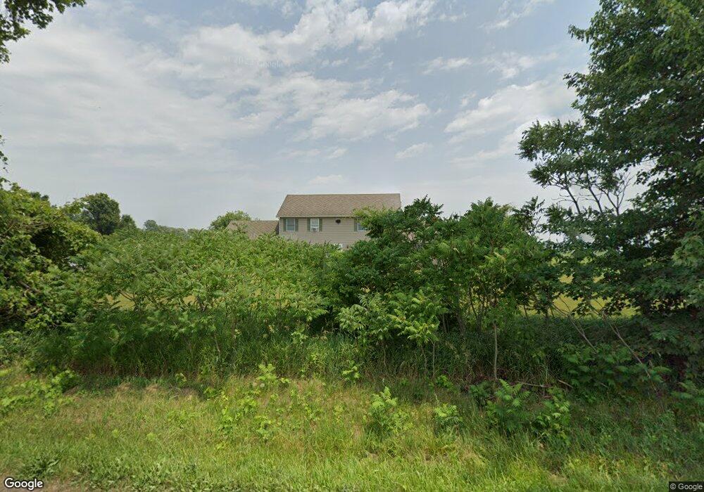
52140 Snowberry Rd New Carlisle, IN 46552
Estimated Value: $386,000 - $531,107
4
Beds
4
Baths
2,294
Sq Ft
$200/Sq Ft
Est. Value
About This Home
This home is located at 52140 Snowberry Rd, New Carlisle, IN 46552 and is currently estimated at $458,554, approximately $199 per square foot. 52140 Snowberry Rd is a home located in St. Joseph County with nearby schools including New Prairie High School.
Ownership History
Date
Name
Owned For
Owner Type
Purchase Details
Closed on
Jun 8, 2022
Sold by
Mccay Rosalie A
Bought by
Mccay Rosalie A
Current Estimated Value
Purchase Details
Closed on
Jan 4, 2021
Sold by
Mccay Rosalie A
Bought by
Mccay Trust
Purchase Details
Closed on
Jul 30, 2020
Sold by
Mccay Donald A and Mccay Cynthia L
Bought by
Mccay Donald A and Mccay Donald A
Purchase Details
Closed on
Jan 22, 2020
Sold by
Mccay Donald A and Mccay Cynthia L
Bought by
Res North America Leasing Llc
Purchase Details
Closed on
Sep 25, 2009
Sold by
Mccay Larry Joe and Mccay Rosalie A
Bought by
Mccay Donald A and Mccay Cynthia L
Create a Home Valuation Report for This Property
The Home Valuation Report is an in-depth analysis detailing your home's value as well as a comparison with similar homes in the area
Home Values in the Area
Average Home Value in this Area
Purchase History
| Date | Buyer | Sale Price | Title Company |
|---|---|---|---|
| Mccay Rosalie A | -- | Hahn Walz Pc | |
| Mccay Trust | -- | None Available | |
| Mccay Donald A | -- | Hahn Walz Pc | |
| Res North America Leasing Llc | -- | -- | |
| Mccay Donald A | -- | None Available |
Source: Public Records
Tax History Compared to Growth
Tax History
| Year | Tax Paid | Tax Assessment Tax Assessment Total Assessment is a certain percentage of the fair market value that is determined by local assessors to be the total taxable value of land and additions on the property. | Land | Improvement |
|---|---|---|---|---|
| 2024 | $3,516 | $286,800 | $107,500 | $179,300 |
| 2023 | $3,424 | $286,200 | $102,300 | $183,900 |
| 2022 | $3,264 | $282,900 | $96,800 | $186,100 |
| 2021 | $2,188 | $176,600 | $37,000 | $139,600 |
| 2020 | $2,203 | $176,800 | $36,800 | $140,000 |
| 2019 | $2,256 | $184,400 | $40,600 | $143,800 |
| 2018 | $2,348 | $190,900 | $41,300 | $149,600 |
| 2017 | $2,285 | $192,900 | $44,600 | $148,300 |
| 2016 | $2,627 | $203,400 | $46,100 | $157,300 |
| 2014 | $2,396 | $206,900 | $47,300 | $159,600 |
Source: Public Records
Map
Nearby Homes
- 0 Trail Unit 202444357
- 6475 Olive Branch Rd
- 32670 Chicago Trail
- 53300 Rosewood Rd
- 0 Wintergreen Rd
- 54983 Tulip Rd
- 31890 Edison Rd
- 33351 Early Rd
- 32500 Early Rd
- 6798 E 350th N
- 0 County Line Rd N Unit NRA831113
- 0 Us 20 Unit 510158
- 0 County Line Rd N Unit 202546983
- 55330 Timothy Rd
- 33260 State Line Rd
- 54654 Wintergreen Rd
- 19196 Cleveland Ave
- 51690 Inverness Dr
- 114 S Cherry St
- 26917 Marshall Dr N