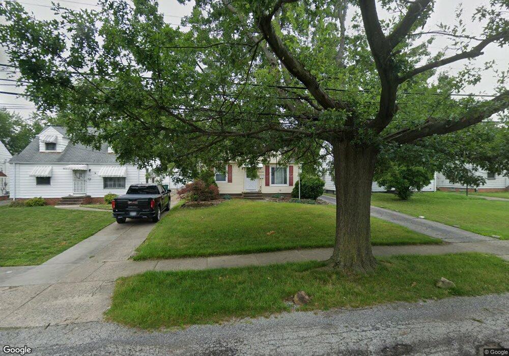
5215 Henry St Maple Heights, OH 44137
Estimated Value: $107,000 - $140,000
3
Beds
2
Baths
1,170
Sq Ft
$101/Sq Ft
Est. Value
About This Home
This home is located at 5215 Henry St, Maple Heights, OH 44137 and is currently estimated at $117,598, approximately $100 per square foot. 5215 Henry St is a home located in Cuyahoga County with nearby schools including Abraham Lincoln Elementary School, Rockside/ J.F. Kennedy School, and Italy High School.
Ownership History
Date
Name
Owned For
Owner Type
Purchase Details
Closed on
Aug 23, 1994
Sold by
Olesinski Warren R
Bought by
Rackliffe Thomas L
Current Estimated Value
Home Financials for this Owner
Home Financials are based on the most recent Mortgage that was taken out on this home.
Original Mortgage
$62,350
Interest Rate
8.73%
Mortgage Type
FHA
Purchase Details
Closed on
Jul 28, 1983
Sold by
Jordan Timothy W
Bought by
Olesinski Warren R
Purchase Details
Closed on
Jul 8, 1976
Bought by
Jordan Timothy W
Purchase Details
Closed on
Jan 1, 1975
Bought by
Costanzo John and Costanzo L
Create a Home Valuation Report for This Property
The Home Valuation Report is an in-depth analysis detailing your home's value as well as a comparison with similar homes in the area
Home Values in the Area
Average Home Value in this Area
Purchase History
| Date | Buyer | Sale Price | Title Company |
|---|---|---|---|
| Rackliffe Thomas L | $67,500 | -- | |
| Olesinski Warren R | $44,900 | -- | |
| Jordan Timothy W | $30,500 | -- | |
| Maplewood Rlty Inc | $21,700 | -- | |
| Costanzo John | -- | -- |
Source: Public Records
Mortgage History
| Date | Status | Borrower | Loan Amount |
|---|---|---|---|
| Open | Rackliffe Thomas L | $46,485 | |
| Closed | Rackliffe Thomas L | $62,571 | |
| Closed | Rackliffe Thomas L | $6,200 | |
| Closed | Rackliffe Thomas | $79,000 | |
| Closed | Rackliffe Thomas L | $15,750 | |
| Closed | Rackliffe Thomas L | $62,350 |
Source: Public Records
Tax History Compared to Growth
Tax History
| Year | Tax Paid | Tax Assessment Tax Assessment Total Assessment is a certain percentage of the fair market value that is determined by local assessors to be the total taxable value of land and additions on the property. | Land | Improvement |
|---|---|---|---|---|
| 2024 | $2,630 | $37,870 | $7,630 | $30,240 |
| 2023 | $2,523 | $23,700 | $5,180 | $18,520 |
| 2022 | $2,514 | $23,700 | $5,180 | $18,520 |
| 2021 | $2,680 | $23,700 | $5,180 | $18,520 |
| 2020 | $2,289 | $17,960 | $3,920 | $14,040 |
| 2019 | $2,276 | $51,300 | $11,200 | $40,100 |
| 2018 | $2,264 | $17,960 | $3,920 | $14,040 |
| 2017 | $2,228 | $17,220 | $3,920 | $13,300 |
| 2016 | $2,154 | $17,220 | $3,920 | $13,300 |
| 2015 | $2,558 | $17,220 | $3,920 | $13,300 |
| 2014 | $2,558 | $22,970 | $5,220 | $17,750 |
Source: Public Records
Map
Nearby Homes
- 5247 Henry St
- 5210 Theodore St
- 15911 Friend Ave
- 5205 Stanley Ave
- 16241 Glenburn Ave
- 5208 Clement Ave
- 5320 Clement Ave
- 5185 Clement Ave
- 5212 Catherine St
- 5100 Greenhurst Dr
- 17204 Maple Heights Blvd
- 5231 Philip Ave
- 5110 Philip Ave
- 5257 Philip Ave
- 5082 Philip Ave
- 16712 Kollin Ave
- 15095 Granger Rd
- 5061 Philip Ave
- 5425 Grasmere Ave
- 5540 Dalewood Ave