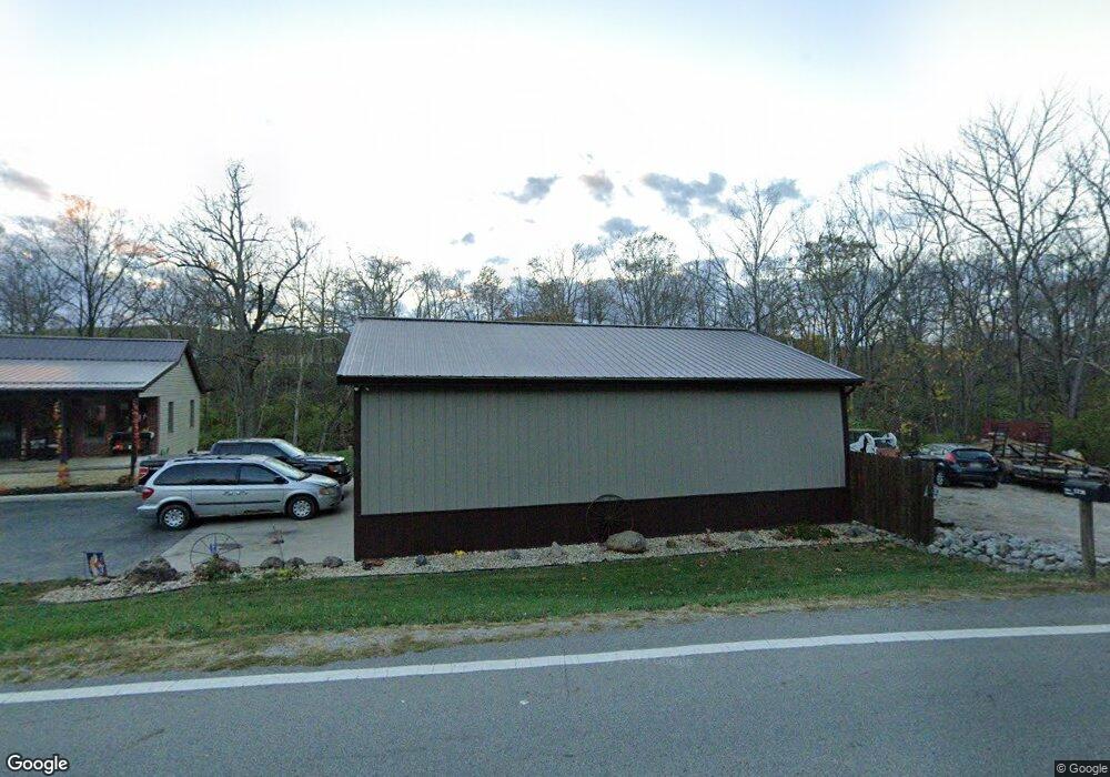
5215 State Route 41 N Bainbridge, OH 45612
Estimated Value: $157,000 - $230,000
2
Beds
1
Bath
1,104
Sq Ft
$170/Sq Ft
Est. Value
About This Home
This home is located at 5215 State Route 41 N, Bainbridge, OH 45612 and is currently estimated at $187,540, approximately $169 per square foot. 5215 State Route 41 N is a home with nearby schools including Paint Valley Elementary School, Paint Valley Middle School, and Paint Valley High School.
Ownership History
Date
Name
Owned For
Owner Type
Purchase Details
Closed on
May 6, 2005
Sold by
Spangler Nathaniel Lee
Bought by
Willaims Nicol
Current Estimated Value
Home Financials for this Owner
Home Financials are based on the most recent Mortgage that was taken out on this home.
Original Mortgage
$15,200
Interest Rate
6.05%
Mortgage Type
Stand Alone Second
Create a Home Valuation Report for This Property
The Home Valuation Report is an in-depth analysis detailing your home's value as well as a comparison with similar homes in the area
Home Values in the Area
Average Home Value in this Area
Purchase History
| Date | Buyer | Sale Price | Title Company |
|---|---|---|---|
| Willaims Nicol | $76,000 | Capital Title Services Inc |
Source: Public Records
Mortgage History
| Date | Status | Borrower | Loan Amount |
|---|---|---|---|
| Closed | Willaims Nicol | $15,200 | |
| Open | Willaims Nicol | $60,800 |
Source: Public Records
Tax History Compared to Growth
Tax History
| Year | Tax Paid | Tax Assessment Tax Assessment Total Assessment is a certain percentage of the fair market value that is determined by local assessors to be the total taxable value of land and additions on the property. | Land | Improvement |
|---|---|---|---|---|
| 2024 | $1,367 | $37,180 | $4,270 | $32,910 |
| 2023 | $1,367 | $37,180 | $4,270 | $32,910 |
| 2022 | $1,375 | $37,180 | $4,270 | $32,910 |
| 2021 | $1,208 | $30,290 | $3,780 | $26,510 |
| 2020 | $1,207 | $30,290 | $3,780 | $26,510 |
| 2019 | $1,229 | $30,290 | $3,780 | $26,510 |
| 2018 | $1,075 | $25,630 | $3,170 | $22,460 |
| 2017 | $1,077 | $19,800 | $3,170 | $16,630 |
| 2016 | $813 | $19,800 | $3,170 | $16,630 |
| 2015 | $741 | $18,420 | $3,170 | $15,250 |
| 2014 | $702 | $18,420 | $3,170 | $15,250 |
| 2013 | $713 | $18,420 | $3,170 | $15,250 |
Source: Public Records
Map
Nearby Homes
- 213 S Benner Hill Rd
- 1540 Cove Run Rd
- 301 N Maple St
- 201 N Maple St
- 316 S Maple St
- 2470 Tong Hollow Rd
- 2780 Potts Hill Rd
- 2780 Potts Hill Rd Unit (Tract 4 at Potts Hi
- 0 Upper Twin Rd Unit 5159777
- 0 Upper Twin Rd Unit 225036418
- 4945 Upper Twin Rd
- 0 Schmidt Rd
- 7724 Cave Rd
- 4511 Potts Hill
- 4511 Potts Hill Rd
- 948 Mount Olive Rd
- 948 Mt Olive Rd
- 7885 Upper Twin Rd
- 14703 Brier Rd
- 0 Potts Hill Rd Unit 225030231
- 5190 State Route 41 N
- 5178 State Route 41 N
- 5155 State Route 41 N
- 5156 State Route 41 N
- 5156 State Route 41 N
- 5108 State Route 41 N
- 5078 State Route 41 N
- 5060 State Route 41 N
- 5046 State Route 41 N
- 5238 State Route 41 N
- 5238 State Route 41 N
- 5000 State Route 41 N
- 49 S Benner Hill Rd
- 4988 State Route 41 N
- 286 S Benner Hill Rd
- 272 S Benner Hill Rd
- 4944 State Route 41 N
- 184 S Benner Hill Rd
- 5535 State Route 41 N
- 5538 State Route 41 N