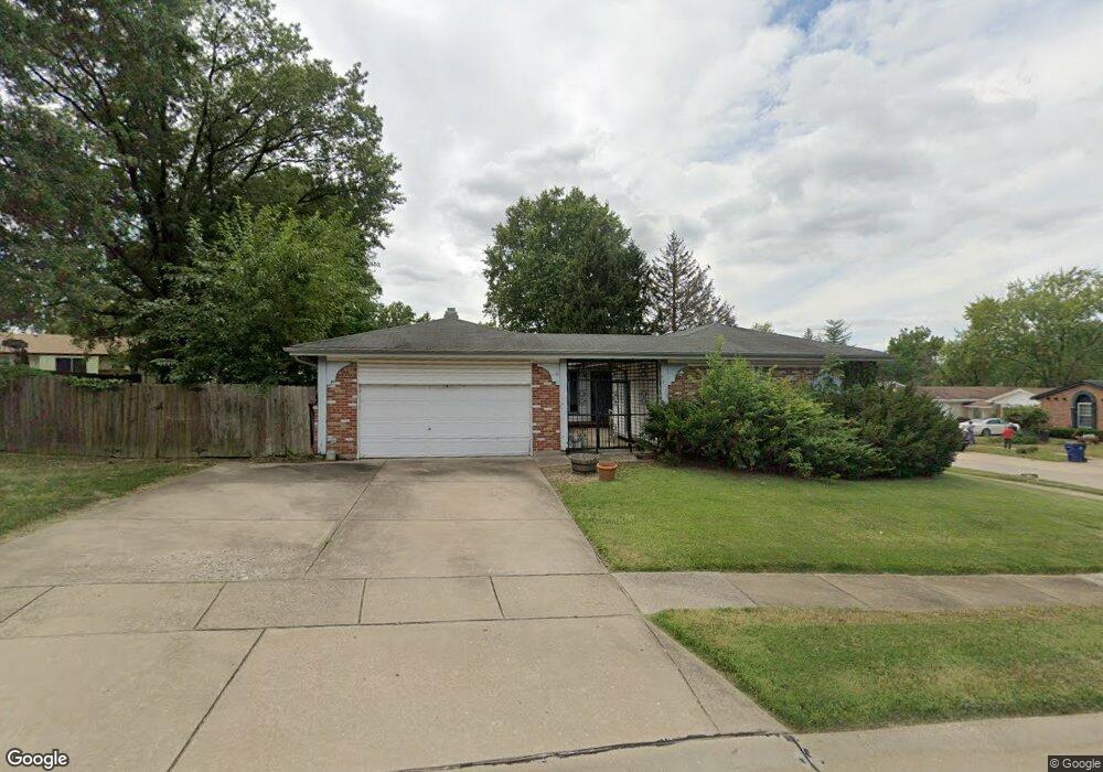
5216 Tow Path Trail Florissant, MO 63033
Estimated Value: $212,000 - $242,000
3
Beds
2
Baths
1,946
Sq Ft
$119/Sq Ft
Est. Value
About This Home
This home is located at 5216 Tow Path Trail, Florissant, MO 63033 and is currently estimated at $230,754, approximately $118 per square foot. 5216 Tow Path Trail is a home located in St. Louis County with nearby schools including Jury Elementary School, Central Middle School, and Hazelwood Central High School.
Ownership History
Date
Name
Owned For
Owner Type
Purchase Details
Closed on
Jun 28, 2000
Sold by
Petitt Lowell E
Bought by
Morrison Anthony and Morrison Faye
Current Estimated Value
Home Financials for this Owner
Home Financials are based on the most recent Mortgage that was taken out on this home.
Original Mortgage
$71,575
Outstanding Balance
$25,844
Interest Rate
8.56%
Mortgage Type
FHA
Estimated Equity
$204,910
Create a Home Valuation Report for This Property
The Home Valuation Report is an in-depth analysis detailing your home's value as well as a comparison with similar homes in the area
Home Values in the Area
Average Home Value in this Area
Purchase History
| Date | Buyer | Sale Price | Title Company |
|---|---|---|---|
| Morrison Anthony | $93,000 | -- |
Source: Public Records
Mortgage History
| Date | Status | Borrower | Loan Amount |
|---|---|---|---|
| Open | Morrison Anthony | $71,575 |
Source: Public Records
Tax History Compared to Growth
Tax History
| Year | Tax Paid | Tax Assessment Tax Assessment Total Assessment is a certain percentage of the fair market value that is determined by local assessors to be the total taxable value of land and additions on the property. | Land | Improvement |
|---|---|---|---|---|
| 2025 | $3,248 | $38,720 | $7,070 | $31,650 |
| 2024 | $3,248 | $35,720 | $3,650 | $32,070 |
| 2023 | $3,248 | $35,720 | $3,650 | $32,070 |
| 2022 | $2,632 | $25,780 | $5,260 | $20,520 |
| 2021 | $2,492 | $25,780 | $5,260 | $20,520 |
| 2020 | $2,455 | $23,650 | $4,160 | $19,490 |
| 2019 | $2,414 | $23,650 | $4,160 | $19,490 |
| 2018 | $2,358 | $21,350 | $3,380 | $17,970 |
| 2017 | $2,355 | $21,350 | $3,380 | $17,970 |
| 2016 | $2,470 | $22,040 | $3,380 | $18,660 |
| 2015 | $2,413 | $22,040 | $3,380 | $18,660 |
| 2014 | $2,492 | $22,670 | $3,310 | $19,360 |
Source: Public Records
Map
Nearby Homes
- 11466 Granger Trail
- 5148 Longhorn Trail
- 11100 Landseer Dr
- 2628 Hadden Dr
- 2449 Forest Shadows Dr
- 11221 Sugartrail Dr
- 2419 Forest Shadows Dr
- 2452 Forest Shadows Dr
- 2440 Forest Shadows Dr
- 11191 Whispering Oaks Dr
- 11129 Old Halls Ferry Rd
- 11015 Landseer Dr
- 4950 Patricia Ridge Dr
- 2559 Burchard Dr
- 2571 Burchard Dr
- 11008 Saginaw Dr
- 11054 Thousand Oaks Dr
- 11002 Thousand Oaks Dr
- 4497 Rhine Dr
- 2355 Redman Rd
- 5236 Tow Path Trail
- 5215 Ponawanda Trail
- 5205 Ponawanda Trail
- 5225 Ponawanda Trail
- 11309 Prentice Dr
- 11299 Prentice Dr
- 11319 Prentice Dr
- 5235 Ponawanda Trail
- 5227 Tow Path Trail
- 5256 Tow Path Trail
- 11289 Prentice Dr
- 11329 Prentice Dr
- 5245 Ponawanda Trail
- 5247 Tow Path Trail
- 11279 Prentice Dr
- 11339 Prentice Dr
- 5266 Tow Path Trail
- 5255 Ponawanda Trail
- 5220 Ponawanda Trail
- 5210 Ponawanda Trail