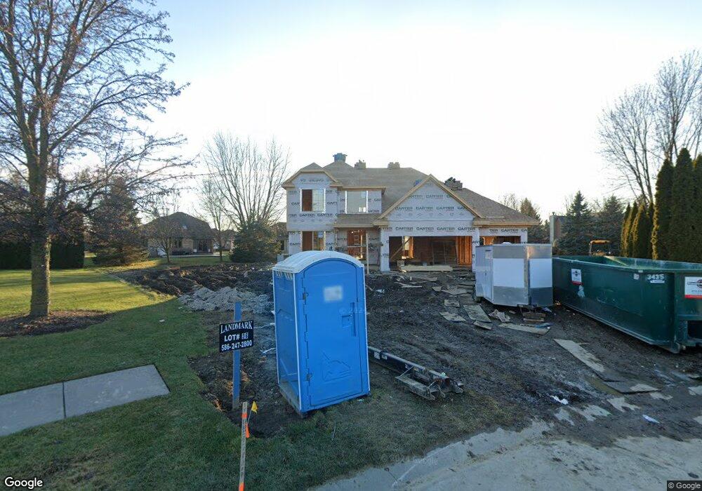
52163 Maple Ct Unit Bldg-Unit Chesterfield, MI 48047
Estimated Value: $524,000 - $716,000
--
Bed
--
Bath
--
Sq Ft
0.34
Acres
About This Home
This home is located at 52163 Maple Ct Unit Bldg-Unit, Chesterfield, MI 48047 and is currently estimated at $610,667. 52163 Maple Ct Unit Bldg-Unit is a home located in Macomb County with nearby schools including Lighthouse Elementary School, Anchor Bay Middle School North, and Anchor Bay High School.
Ownership History
Date
Name
Owned For
Owner Type
Purchase Details
Closed on
Jul 1, 2024
Sold by
Landmark Building Ii Company Inc
Bought by
Mott Micheal C
Current Estimated Value
Purchase Details
Closed on
Sep 19, 2023
Sold by
Haley William J and Haley Carol K
Bought by
Landmark Building Ii Co
Purchase Details
Closed on
Apr 8, 1998
Sold by
Lfk Builders Inc
Bought by
Haley W C
Create a Home Valuation Report for This Property
The Home Valuation Report is an in-depth analysis detailing your home's value as well as a comparison with similar homes in the area
Home Values in the Area
Average Home Value in this Area
Purchase History
| Date | Buyer | Sale Price | Title Company |
|---|---|---|---|
| Mott Micheal C | $95,000 | Ata National Title | |
| Landmark Building Ii Co | $95,000 | Ata National Title | |
| Landmark Building Ii Co | $95,000 | Ata National Title | |
| Haley W C | $44,000 | -- |
Source: Public Records
Tax History Compared to Growth
Tax History
| Year | Tax Paid | Tax Assessment Tax Assessment Total Assessment is a certain percentage of the fair market value that is determined by local assessors to be the total taxable value of land and additions on the property. | Land | Improvement |
|---|---|---|---|---|
| 2025 | $2,298 | $271,600 | $0 | $0 |
| 2024 | $1,505 | $49,400 | $0 | $0 |
| 2023 | $835 | $42,500 | $0 | $0 |
| 2022 | $1,457 | $36,000 | $0 | $0 |
| 2021 | $1,416 | $27,500 | $0 | $0 |
| 2020 | $765 | $25,000 | $0 | $0 |
| 2019 | $1,355 | $25,000 | $0 | $0 |
| 2018 | $1,361 | $25,000 | $0 | $0 |
| 2017 | $1,360 | $25,000 | $0 | $0 |
| 2016 | $1,366 | $25,000 | $0 | $0 |
| 2015 | $806 | $25,000 | $0 | $0 |
| 2014 | $806 | $30,250 | $30,250 | $0 |
| 2012 | -- | $0 | $0 | $0 |
Source: Public Records
Map
Nearby Homes
- 34521 Blue Spruce Rd
- 51341 Mayfield Dr
- 34276 Cherry Hill Ln
- 51300 Kirby Dr
- 52966 Trailside Dr
- 51413 Baker Rd
- 35260 Bradford Dr
- 52400 Huntley Ave
- 55060 Baker Rd
- 52372 D W Seaton Dr
- 51316 Johns Dr Unit 14
- 51314 Johns Dr
- 51901 D W Seaton Dr
- - Baker Rd
- 53809 Meadow View Ln
- 52511 Washington St
- 32922 Oakwood Dr Unit 10
- 52451 Washington St
- 52411 Washington St
- 35037 Windsor Dr
- 52163 Maple Ct
- 52175 Maple Ct
- 34411 Lillian Rd
- 34443 Lillian Rd
- 52176 Maple Ct
- 34376 Country Meadow Rd
- 34379 Lillian Rd
- 34475 Lillian Rd
- 34390 Country Meadow Rd
- 52187 Maple Ct
- 34347 Lillian Rd
- 34507 Lillian Rd
- 34404 Country Meadow Rd
- 34362 Country Meadow Rd
- 52188 Maple Ct
- 52153 Boland Rd
- 52153 Boland Rd
- 52153 Boland Rd
- 52165 Boland Rd
- 52199 Maple Ct