Estimated Value: $115,000 - $138,337
2
Beds
1
Bath
1,088
Sq Ft
$120/Sq Ft
Est. Value
About This Home
This home is located at 5217 Cline Rd Unit H, Kent, OH 44240 and is currently estimated at $130,834, approximately $120 per square foot. 5217 Cline Rd Unit H is a home located in Portage County with nearby schools including Brimfield Elementary School, Field Middle School, and Field High School.
Ownership History
Date
Name
Owned For
Owner Type
Purchase Details
Closed on
Jan 31, 2013
Sold by
Pusker David A and Pusker David
Bought by
Pusker Diane R
Current Estimated Value
Purchase Details
Closed on
Jan 21, 2011
Sold by
Secretary Of Housing & Urban Development
Bought by
Pusker David and Pusker Diane R
Purchase Details
Closed on
Apr 16, 2010
Sold by
Huntington National Bank
Bought by
The Secretary Of Housing & Urban Develop
Purchase Details
Closed on
Mar 25, 2010
Sold by
Hogue David S
Bought by
Huntington National Bank
Purchase Details
Closed on
Feb 17, 2005
Sold by
Miller Rose A
Bought by
Hogue David S
Home Financials for this Owner
Home Financials are based on the most recent Mortgage that was taken out on this home.
Original Mortgage
$82,450
Interest Rate
5.7%
Mortgage Type
FHA
Create a Home Valuation Report for This Property
The Home Valuation Report is an in-depth analysis detailing your home's value as well as a comparison with similar homes in the area
Home Values in the Area
Average Home Value in this Area
Purchase History
| Date | Buyer | Sale Price | Title Company |
|---|---|---|---|
| Pusker Diane R | -- | None Available | |
| Pusker David | $40,150 | Attorney | |
| The Secretary Of Housing & Urban Develop | -- | None Available | |
| Huntington National Bank | $46,667 | None Available | |
| Hogue David S | $85,000 | Tri County Title Agency Inc |
Source: Public Records
Mortgage History
| Date | Status | Borrower | Loan Amount |
|---|---|---|---|
| Previous Owner | Hogue David S | $82,450 |
Source: Public Records
Tax History Compared to Growth
Tax History
| Year | Tax Paid | Tax Assessment Tax Assessment Total Assessment is a certain percentage of the fair market value that is determined by local assessors to be the total taxable value of land and additions on the property. | Land | Improvement |
|---|---|---|---|---|
| 2024 | $2,131 | $43,930 | $5,250 | $38,680 |
| 2023 | $1,494 | $24,360 | $5,250 | $19,110 |
| 2022 | $1,498 | $24,360 | $5,250 | $19,110 |
| 2021 | $1,448 | $24,360 | $5,250 | $19,110 |
| 2020 | $1,510 | $23,280 | $5,250 | $18,030 |
| 2019 | $1,497 | $23,280 | $5,250 | $18,030 |
| 2018 | $1,136 | $21,040 | $4,380 | $16,660 |
| 2017 | $1,136 | $21,040 | $4,380 | $16,660 |
| 2016 | $1,131 | $21,040 | $4,380 | $16,660 |
| 2015 | $1,094 | $21,040 | $4,380 | $16,660 |
| 2014 | $1,056 | $21,040 | $4,380 | $16,660 |
| 2013 | $1,061 | $21,040 | $4,380 | $16,660 |
Source: Public Records
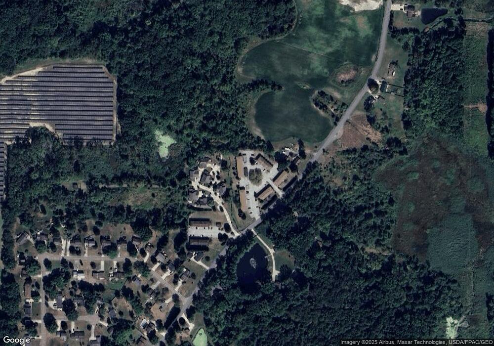
Map
Nearby Homes
- 1997 Sugar Maple Dr
- 5123 Troyer Dr
- 2014 Sugar Maple Dr
- 5289 Deer Trace Dr Unit 23
- 2092 Sugar Maple Dr
- 1024E Cedar Ridge Dr
- 1024A Cedar Ridge Dr
- 2336 Tart Cherry Ln
- 5100 Misty Glen
- 2312 Cranberry Creek Rd
- 1426 Loop Rd Unit 1426
- 2464 Hazelnut Rd
- 0 Meloy Rd Unit 5162435
- 1737 Holly Dr
- Nassau Cove Plan at Woodland Reserve
- Poplar Plan at Woodland Reserve
- 2216 - 2218 Roberts Journey
- 1236 Cedar Ridge Rd
- 1354 Brimfield Dr
- 3136 Bird Dr
- 5215 Cline Rd Unit H
- 5217 Cline Rd
- 5217 Cline Rd
- 5217 Cline Rd
- 5217 Cline Rd Unit 5217D
- 5217 Cline Rd
- 5217 Cline Rd Unit 5217B
- 5217 Cline Rd
- 5215 Cline Rd Unit 5215G
- 5215 Cline Rd
- 5215 Cline Rd Unit 5215E
- 5215 Cline Rd Unit 5215D
- 5215 Cline Rd Unit 5215C
- 5215 Cline Rd Unit 5215B
- 5215 Cline Rd
- 5217 Cline Rd Unit 5217H
- 5215 Cline Rd Unit 5215H
- 5217 Cline Rd Unit 1
- 5217 Cline Rd Unit 4
- 5217 Cline Rd Unit B