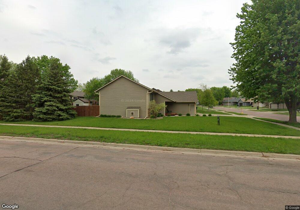
5217 E Blueridge Dr Sioux Falls, SD 57110
East Side NeighborhoodEstimated Value: $362,000 - $419,000
5
Beds
3
Baths
2,369
Sq Ft
$162/Sq Ft
Est. Value
About This Home
This home is located at 5217 E Blueridge Dr, Sioux Falls, SD 57110 and is currently estimated at $383,527, approximately $161 per square foot. 5217 E Blueridge Dr is a home located in Minnehaha County with nearby schools including Rosa Parks Elementary School, Washington High School, and Train Up A Child Preschool/Kindergarten.
Ownership History
Date
Name
Owned For
Owner Type
Purchase Details
Closed on
Jun 7, 2024
Sold by
Larson Timothy M and Larson Peggy A
Bought by
Baete Michael
Current Estimated Value
Home Financials for this Owner
Home Financials are based on the most recent Mortgage that was taken out on this home.
Original Mortgage
$390,000
Outstanding Balance
$384,401
Interest Rate
7.09%
Estimated Equity
-$874
Create a Home Valuation Report for This Property
The Home Valuation Report is an in-depth analysis detailing your home's value as well as a comparison with similar homes in the area
Home Values in the Area
Average Home Value in this Area
Purchase History
| Date | Buyer | Sale Price | Title Company |
|---|---|---|---|
| Baete Michael | $390,000 | Stewart Title Co | |
| Baete Michael | $390,000 | Stewart Title Co |
Source: Public Records
Mortgage History
| Date | Status | Borrower | Loan Amount |
|---|---|---|---|
| Open | Baete Michael | $390,000 | |
| Closed | Baete Michael | $390,000 |
Source: Public Records
Tax History
| Year | Tax Paid | Tax Assessment Tax Assessment Total Assessment is a certain percentage of the fair market value that is determined by local assessors to be the total taxable value of land and additions on the property. | Land | Improvement |
|---|---|---|---|---|
| 2024 | $3,485 | $253,700 | $34,700 | $219,000 |
| 2023 | $3,541 | $248,600 | $34,700 | $213,900 |
| 2022 | $3,579 | $237,400 | $34,700 | $202,700 |
| 2021 | $3,638 | $244,400 | $0 | $0 |
| 2020 | $3,638 | $232,500 | $0 | $0 |
| 2019 | $3,504 | $219,775 | $0 | $0 |
| 2018 | $3,213 | $214,963 | $0 | $0 |
| 2017 | $3,162 | $202,194 | $30,456 | $171,738 |
| 2016 | $3,162 | $199,132 | $30,456 | $168,676 |
| 2015 | $3,064 | $185,294 | $28,764 | $156,530 |
| 2014 | -- | $177,599 | $27,432 | $150,167 |
Source: Public Records
Map
Nearby Homes
- 5117 E Blueridge Dr
- 4804 E Blueridge Dr
- 2213 S Saddle Ridge Dr
- 2212 S Saddle Ridge Dr
- 2309 S Red Oak Ave
- 2208 S Saddle Ridge Dr
- 5504 E Surrey Cir Cir
- 2305 S Red Oak Ave
- 4700 E Alpine Cir
- 5508 E Morningside Cir
- 5600 E Surrey Cir
- 2300 Saddle Ridge Dr
- 2304 Saddle Ridge Dr
- 2400 Saddle Ridge Dr
- 2312 Saddle Ridge Dr
- 2308 Saddle Ridge Dr
- 2408 Saddle Ridge Dr
- 2412 Saddle Ridge Dr
- 2404 Saddle Ridge Dr
- 2205 S Red Oak Ave
- 5213 E Blueridge Dr
- 5209 E Blueridge Dr
- 2608 S Alpine Ave
- 2604 S Alpine Ave
- 2600 S Alpine Ave
- 5000 E 33rd St
- 5216 E Blueridge Dr
- 5205 E Blueridge Dr
- 4917 E 33rd St
- 5212 E Blueridge Dr
- 2700 S Alpine Ave
- 4921 E 33rd St
- 5208 E Blueridge Dr
- 5201 E Blueridge Dr
- 2704 S Alpine Ave
- 4925 E 33rd St
- 5217 E Fernwood Dr
- 5213 E Fernwood Dr
- 2609 S Alpine Ave
- 2605 S Alpine Ave
Your Personal Tour Guide
Ask me questions while you tour the home.