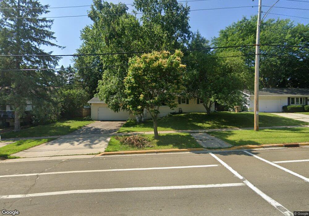
5217 E Buckeye Rd Madison, WI 53716
East Buckeye NeighborhoodEstimated Value: $375,314 - $419,000
3
Beds
2
Baths
1,558
Sq Ft
$254/Sq Ft
Est. Value
About This Home
This home is located at 5217 E Buckeye Rd, Madison, WI 53716 and is currently estimated at $395,329, approximately $253 per square foot. 5217 E Buckeye Rd is a home located in Dane County with nearby schools including Sennett Middle School, La Follette High School, and Nuestro Mundo.
Ownership History
Date
Name
Owned For
Owner Type
Purchase Details
Closed on
Sep 25, 2012
Sold by
Mittag Jason
Bought by
Mittag Jason M and Mittag Michelle C
Current Estimated Value
Home Financials for this Owner
Home Financials are based on the most recent Mortgage that was taken out on this home.
Original Mortgage
$117,000
Interest Rate
3.57%
Mortgage Type
New Conventional
Create a Home Valuation Report for This Property
The Home Valuation Report is an in-depth analysis detailing your home's value as well as a comparison with similar homes in the area
Home Values in the Area
Average Home Value in this Area
Purchase History
| Date | Buyer | Sale Price | Title Company |
|---|---|---|---|
| Mittag Jason M | -- | None Available |
Source: Public Records
Mortgage History
| Date | Status | Borrower | Loan Amount |
|---|---|---|---|
| Closed | Mittag Jason M | $117,000 |
Source: Public Records
Tax History
| Year | Tax Paid | Tax Assessment Tax Assessment Total Assessment is a certain percentage of the fair market value that is determined by local assessors to be the total taxable value of land and additions on the property. | Land | Improvement |
|---|---|---|---|---|
| 2024 | $11,153 | $334,900 | $60,100 | $274,800 |
| 2023 | $5,521 | $324,800 | $58,300 | $266,500 |
| 2022 | $10,145 | $274,300 | $49,200 | $225,100 |
| 2021 | $4,784 | $240,600 | $44,700 | $195,900 |
| 2020 | $4,598 | $216,800 | $40,300 | $176,500 |
| 2019 | $4,451 | $210,500 | $39,100 | $171,400 |
| 2018 | $4,004 | $189,600 | $39,100 | $150,500 |
| 2017 | $4,078 | $184,100 | $35,500 | $148,600 |
| 2016 | $3,852 | $170,300 | $33,800 | $136,500 |
| 2015 | $3,722 | $157,500 | $33,800 | $123,700 |
| 2014 | $3,607 | $157,500 | $33,800 | $123,700 |
| 2013 | $3,805 | $157,500 | $33,800 | $123,700 |
Source: Public Records
Map
Nearby Homes
- 1606 Ellen Ave
- 5525 Forge Dr
- 5001 Stonehaven Dr
- 1317 Ellen Ave
- 10 Kings Mill Cir Unit 304
- 1634 Kings Mill Way Unit 208
- 1907-1909 Dondee Rd
- 1002 Ellen Ave
- 1314 Manassas Trail
- 6159 Dell Dr Unit 1
- 718 Orion Trail
- 4615 Maher Ave
- 1002 Severson Dr
- 617 Orion Trail
- 3602 Agriculture Dr
- 6430 Maywick Dr Unit 6430
- 5309 Portsmouth Way
- 1100 Pflaum Rd
- 417 Orion Trail
- 410 Orion Trail
- 5301 E Buckeye Rd
- 5213 E Buckeye Rd
- 5218 Camilla Rd
- 5214 Camilla Rd
- 5305 E Buckeye Rd
- 5209 E Buckeye Rd
- 5302 Camilla Rd
- 5210 Camilla Rd
- 1717 National Ave
- 5306 Camilla Rd
- 5309 E Buckeye Rd
- 5205 E Buckeye Rd
- 1718 National Ave
- 5306 E Buckeye Rd
- 5210 E Buckeye Rd
- 5206 Camilla Rd
- 1810 Ellen Ave
- 5301 Camilla Rd
- 5313 E Buckeye Rd
- 1801 Vondron Rd
Your Personal Tour Guide
Ask me questions while you tour the home.