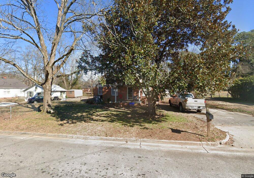
5218 Adams St NE Covington, GA 30014
Estimated Value: $240,597 - $301,000
--
Bed
1
Bath
1,879
Sq Ft
$149/Sq Ft
Est. Value
About This Home
This home is located at 5218 Adams St NE, Covington, GA 30014 and is currently estimated at $279,899, approximately $148 per square foot. 5218 Adams St NE is a home located in Newton County with nearby schools including East Newton Elementary School, Cousins Middle School, and Eastside High School.
Ownership History
Date
Name
Owned For
Owner Type
Purchase Details
Closed on
Aug 11, 2023
Sold by
Amc Estates Llc
Bought by
Mc Georgia Holdings Llc
Current Estimated Value
Home Financials for this Owner
Home Financials are based on the most recent Mortgage that was taken out on this home.
Original Mortgage
$177,750
Outstanding Balance
$172,609
Interest Rate
5.5%
Mortgage Type
New Conventional
Estimated Equity
$107,290
Purchase Details
Closed on
Mar 18, 2022
Sold by
Travis William D
Bought by
Amc Estates Llc
Purchase Details
Closed on
Nov 12, 2013
Sold by
Farmer Beverly Mcdonald
Bought by
Travis William D
Create a Home Valuation Report for This Property
The Home Valuation Report is an in-depth analysis detailing your home's value as well as a comparison with similar homes in the area
Home Values in the Area
Average Home Value in this Area
Purchase History
| Date | Buyer | Sale Price | Title Company |
|---|---|---|---|
| Mc Georgia Holdings Llc | -- | -- | |
| Amc Estates Llc | $800,000 | -- | |
| Travis William D | $50,000 | -- |
Source: Public Records
Mortgage History
| Date | Status | Borrower | Loan Amount |
|---|---|---|---|
| Open | Mc Georgia Holdings Llc | $177,750 |
Source: Public Records
Tax History Compared to Growth
Tax History
| Year | Tax Paid | Tax Assessment Tax Assessment Total Assessment is a certain percentage of the fair market value that is determined by local assessors to be the total taxable value of land and additions on the property. | Land | Improvement |
|---|---|---|---|---|
| 2024 | $2,331 | $77,200 | $17,200 | $60,000 |
| 2023 | $1,482 | $45,600 | $8,800 | $36,800 |
| 2022 | $1,369 | $42,120 | $8,800 | $33,320 |
| 2021 | $1,361 | $37,480 | $8,800 | $28,680 |
| 2020 | $1,403 | $35,160 | $8,800 | $26,360 |
| 2019 | $1,481 | $36,440 | $8,800 | $27,640 |
| 2018 | $731 | $35,560 | $6,000 | $29,560 |
| 2017 | $1,146 | $27,880 | $6,000 | $21,880 |
| 2016 | $1,146 | $27,880 | $6,000 | $21,880 |
| 2015 | $981 | $23,840 | $6,000 | $17,840 |
| 2014 | $981 | $23,840 | $0 | $0 |
Source: Public Records
Map
Nearby Homes
- 6127 Floyd St NE
- 5130 N Dearing St NE
- 5139 West Dr NE
- 6104 Floyd St NE
- 4105 Rose Ln NE
- 4217 Elizabeth St NE
- 4181 A&B Floyd St NE
- 5118 Floyd St NE
- 4128 Elizabeth St NE
- 0 Highway 278 NE Unit 10595588
- 5150 Wheat St NE
- 3127 Mill St SE
- 6192 Collins St NE
- 6193 Collins St NE
- 3149 Thompson Ave SE
- 3112 Floyd St NE
- 3183 Conyers St SE
- 4187 Cherry Laurel Dr SE
- 10630 Highway 278 NE
- 13238 Tolstoy
- 5210 Adams St NE
- 5192 Newton Dr NE
- 5200 Adams St NE
- 5219 Adams St NE
- 6106 Newton Dr NE
- 5211 Adams St
- 5176 Newton Dr NE
- 5201 Adams St NE
- 5190 Adams St NE
- 5214 Hazel St NE
- 0 Adams St Unit 8246299
- 0 Adams St Unit 3157478
- 0 Adams St Unit 8720985
- 0 Adams St Unit 8771824
- 0 Adams St Unit 7299664
- 0 Adams St Unit 8635829
- 5224 Hazel St NE
- 5193 Adams St NE
- 5191 Newton Dr NE
- 5201 Newton Dr NE