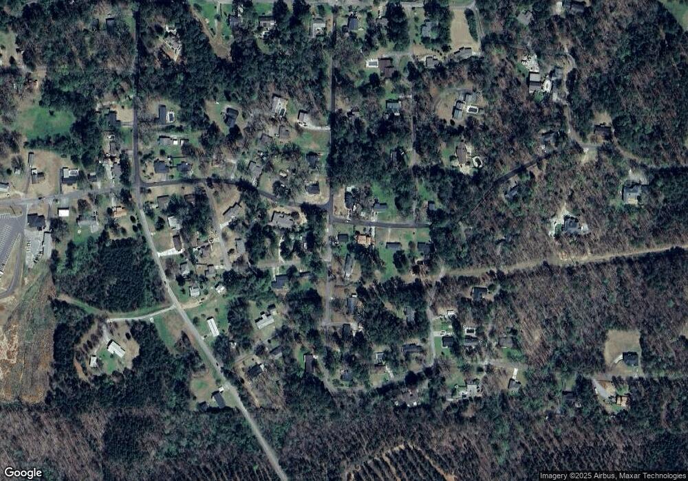
522 Brockford Rd Heflin, AL 36264
Estimated Value: $111,000 - $175,000
--
Bed
--
Bath
1,196
Sq Ft
$115/Sq Ft
Est. Value
About This Home
This home is located at 522 Brockford Rd, Heflin, AL 36264 and is currently estimated at $137,867, approximately $115 per square foot. 522 Brockford Rd is a home.
Ownership History
Date
Name
Owned For
Owner Type
Purchase Details
Closed on
Aug 14, 2024
Sold by
Small Town Houses Llc
Bought by
Kircus Gavin and Cooper Macey
Current Estimated Value
Home Financials for this Owner
Home Financials are based on the most recent Mortgage that was taken out on this home.
Original Mortgage
$133,375
Outstanding Balance
$131,872
Interest Rate
6.89%
Mortgage Type
New Conventional
Estimated Equity
$5,995
Purchase Details
Closed on
Jan 4, 2021
Sold by
Skinner Teresa Lynn
Bought by
Jrf Holdings Llc and Milligan
Create a Home Valuation Report for This Property
The Home Valuation Report is an in-depth analysis detailing your home's value as well as a comparison with similar homes in the area
Home Values in the Area
Average Home Value in this Area
Purchase History
| Date | Buyer | Sale Price | Title Company |
|---|---|---|---|
| Kircus Gavin | $137,500 | None Listed On Document | |
| Jrf Holdings Llc | $50,000 | None Listed On Document |
Source: Public Records
Mortgage History
| Date | Status | Borrower | Loan Amount |
|---|---|---|---|
| Open | Kircus Gavin | $133,375 |
Source: Public Records
Tax History Compared to Growth
Tax History
| Year | Tax Paid | Tax Assessment Tax Assessment Total Assessment is a certain percentage of the fair market value that is determined by local assessors to be the total taxable value of land and additions on the property. | Land | Improvement |
|---|---|---|---|---|
| 2024 | $953 | $12,120 | $1,280 | $10,840 |
| 2023 | $594 | $11,092 | $1,232 | $9,860 |
| 2022 | $544 | $11,092 | $1,232 | $9,860 |
| 2021 | $209 | $10,652 | $1,232 | $9,420 |
| 2020 | $190 | $9,916 | $1,356 | $8,560 |
| 2019 | $187 | $9,792 | $1,232 | $8,560 |
| 2018 | $187 | $9,792 | $1,232 | $8,560 |
| 2017 | $187 | $9,792 | $1,232 | $8,560 |
| 2016 | $181 | $4,776 | $0 | $0 |
| 2015 | $181 | $47,760 | $0 | $0 |
| 2014 | $181 | $47,760 | $0 | $0 |
| 2013 | $181 | $47,760 | $0 | $0 |
Source: Public Records
Map
Nearby Homes
- 357 Perryman Bridge Rd
- 0 Highway 9 Unit 21378462
- 0 Highway 9 Unit 1319111
- 44 Freeman St
- 0 Osborne St Unit 21413431
- 0 Osborn St Unit 1 21413432
- 201 Bell St
- 760 Bedwell St
- 772 Bedwell St
- 227 Bennett St
- 511 Evans Bridge Rd
- 193 Brown St
- 0 Sugar Hill Dr Unit 29 & 28 21382866
- 0 Highway 46 Unit 2 21430866
- 0 Highway 46 Unit 1.9 21430374
- 0 Evans Bridge Rd Unit 1 21385384
- 820 Boozer Rd
- 988 Boozer Rd
- 0 Highway 78 E Unit 8 900773
- 0 Ridley Upper Rd Unit 21429800
- 0 Brockford Rd
- 570 Brockford Rd
- 555 Brockford Rd
- 173 Briarcliff Rd
- 231 Briarcliff Rd
- 185 Oakmont St
- 210 Briarcliff Rd
- 395 Brockford Rd
- 267 Briarcliff Rd
- 78 Farrington Way
- 485 Brockford Rd
- 138 Briarcliff Rd
- 464 Brockford Rd
- 454 Brockford Rd
- 39 Dogwood Row
- 464 Brockford Rd
- 101 Briarcliff Rd
- 145 Oakmont St
- 145 Oakmont St
- 447 Brockford Rd
