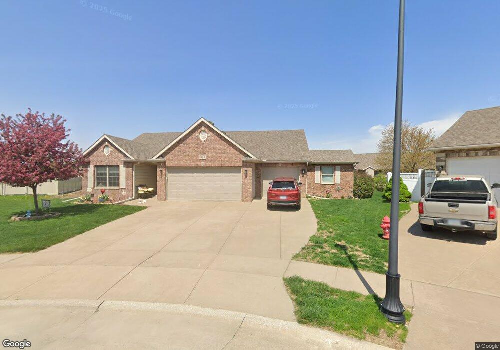
522 Danielle Ct Blue Grass, IA 52726
Estimated Value: $411,000 - $453,000
3
Beds
2
Baths
1,628
Sq Ft
$261/Sq Ft
Est. Value
About This Home
This home is located at 522 Danielle Ct, Blue Grass, IA 52726 and is currently estimated at $425,094, approximately $261 per square foot. 522 Danielle Ct is a home located in Scott County with nearby schools including Blue Grass Elementary School, Walcott Intermediate School, and West High School.
Ownership History
Date
Name
Owned For
Owner Type
Purchase Details
Closed on
Apr 14, 2009
Sold by
Towne & Country Manor Development Corp
Bought by
Frevert Theodore F and Frevert Elaine M
Current Estimated Value
Home Financials for this Owner
Home Financials are based on the most recent Mortgage that was taken out on this home.
Original Mortgage
$55,000
Outstanding Balance
$35,233
Interest Rate
5.19%
Mortgage Type
Purchase Money Mortgage
Estimated Equity
$389,861
Create a Home Valuation Report for This Property
The Home Valuation Report is an in-depth analysis detailing your home's value as well as a comparison with similar homes in the area
Purchase History
| Date | Buyer | Sale Price | Title Company |
|---|---|---|---|
| Frevert Theodore F | $240,000 | None Available |
Source: Public Records
Mortgage History
| Date | Status | Borrower | Loan Amount |
|---|---|---|---|
| Open | Frevert Theodore F | $55,000 |
Source: Public Records
Tax History
| Year | Tax Paid | Tax Assessment Tax Assessment Total Assessment is a certain percentage of the fair market value that is determined by local assessors to be the total taxable value of land and additions on the property. | Land | Improvement |
|---|---|---|---|---|
| 2025 | $4,984 | $391,600 | $77,400 | $314,200 |
| 2024 | $4,934 | $345,700 | $52,800 | $292,900 |
| 2023 | $5,802 | $345,700 | $52,800 | $292,900 |
| 2022 | $5,720 | $320,530 | $50,610 | $269,920 |
| 2021 | $5,720 | $320,530 | $50,610 | $269,920 |
| 2020 | $5,746 | $311,870 | $50,610 | $261,260 |
| 2019 | $5,728 | $304,260 | $50,610 | $253,650 |
| 2018 | $5,662 | $304,260 | $50,610 | $253,650 |
| 2017 | $1,692 | $304,260 | $50,610 | $253,650 |
| 2016 | $5,176 | $0 | $0 | $0 |
| 2015 | $5,176 | $0 | $0 | $0 |
| 2014 | $4,700 | $0 | $0 | $0 |
| 2013 | $4,598 | $0 | $0 | $0 |
| 2012 | -- | $257,790 | $33,740 | $224,050 |
Source: Public Records
Map
Nearby Homes
- 776 Bluestem Ct
- 606 Kevin Rd
- 608 Kevin Rd
- 444 Celeste Cir
- 305 Walker Way
- 127 S Mississippi St
- 221 W Meuse St
- 0 W Lauretta St
- 761 Sweet Wood Ln
- 691 Sweet Wood Ln
- 508 Prairie Meadow Dr
- 12381 71st Ave
- 7 Sandpiper Dr
- 5 Valley View Dr
- 11755 Coon Hunters Rd
- 11700 61st Avenue Place
- 61 W Timberline Dr
- 5 E Timberline Dr
- Lot 01 95th Ave
- Lot 02 95th Ave
- 532 Danielle Ct
- 449 Celeste Cir
- 453 Celeste Cir
- 515 Danielle Ct
- 447 Celeste Cir
- 521 Garrett Ct
- 455 Celeste Cir
- 517 Garrett Ct
- 445 Celeste Cir
- 562 Danielle Ct
- 533 Danielle Ct
- 668 Sweet Wood Ln
- 683 Sweet Wood Ln
- 693 Sweet Wood Ln
- 696 Sweet Wood Ln
- 672 Sweet Wood Ln
- 781 Bluestem Ct
- 801 Sweet Wood Ln
- 791 Sweet Wood Ln
- 443 Celeste Cir
Your Personal Tour Guide
Ask me questions while you tour the home.