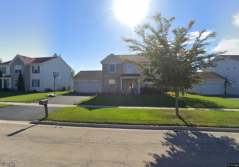
522 Devonaire Pkwy Dekalb, IL 60115
Estimated Value: $307,867 - $370,000
Studio
--
Bath
--
Sq Ft
0.28
Acres Lot
About This Home
This home is located at 522 Devonaire Pkwy, Dekalb, IL 60115 and is currently estimated at $339,717. 522 Devonaire Pkwy is a home located in DeKalb County with nearby schools including Malta Elementary School, Huntley Middle School, and De Kalb High School.
Ownership History
Date
Name
Owned For
Owner Type
Purchase Details
Closed on
Feb 12, 2007
Sold by
Ryg Laura C
Bought by
Villalobos Angel C and Villalobos Laura C
Current Estimated Value
Home Financials for this Owner
Home Financials are based on the most recent Mortgage that was taken out on this home.
Original Mortgage
$204,800
Outstanding Balance
$119,015
Interest Rate
6.27%
Mortgage Type
New Conventional
Estimated Equity
$220,702
Create a Home Valuation Report for This Property
The Home Valuation Report is an in-depth analysis detailing your home's value as well as a comparison with similar homes in the area
Home Values in the Area
Average Home Value in this Area
Purchase History
We collect this data history from publicly available records. To have your information removed, we recommend requesting removal directly through your county’s website.
| Date | Buyer | Sale Price | Title Company |
|---|---|---|---|
| Villalobos Angel C | -- | -- |
Source: Public Records
Mortgage History
We collect this data history from publicly available records. To have your information removed, we recommend requesting removal directly through your county’s website.
| Date | Status | Borrower | Loan Amount |
|---|---|---|---|
| Open | Villalobos Angel C | $204,800 |
Source: Public Records
Tax History
| Year | Tax Paid | Tax Assessment Tax Assessment Total Assessment is a certain percentage of the fair market value that is determined by local assessors to be the total taxable value of land and additions on the property. | Land | Improvement |
|---|---|---|---|---|
| 2025 | $6,488 | $95,753 | $13,601 | $82,152 |
| 2024 | $6,612 | $87,438 | $12,420 | $75,018 |
| 2023 | $6,299 | $76,238 | $10,829 | $65,409 |
| 2022 | $6,299 | $69,605 | $12,359 | $57,246 |
| 2021 | $6,429 | $65,284 | $11,592 | $53,692 |
| 2020 | $6,563 | $64,243 | $11,407 | $52,836 |
| 2019 | $6,406 | $61,719 | $10,959 | $50,760 |
| 2018 | $6,227 | $58,500 | $10,587 | $47,913 |
| 2017 | $6,257 | $56,234 | $10,177 | $46,057 |
| 2016 | $6,169 | $54,814 | $9,920 | $44,894 |
| 2015 | -- | $51,936 | $9,399 | $42,537 |
| 2014 | -- | $52,604 | $13,600 | $39,004 |
| 2013 | -- | $55,257 | $14,286 | $40,971 |
Source: Public Records
Map
Nearby Homes
- 1663 Furrow St
- 1692 Furrow St
- 1723 Goldenrod Turn
- 451 Thresher St
- 476 Thresher St
- 1734 Sunglow Ln
- 445 Windmill Way
- 427 Windmill Way
- 399 Bantam St
- 1497 Stonefield Dr
- 676 Persimmon St
- 1277 Ryan Ct
- 847 Quail Run
- Lot 4 N Annie Glidden Rd
- 919 Greenbrier Rd
- 345 Augusta Ave
- 1020 W Hillcrest Dr
- 122 Mattek Ave
- 928 W Hillcrest Dr
- 910 W Hillcrest Dr
- 534 Devonaire Pkwy
- 508 Devonaire Pkwy
- 546 Devonaire Pkwy
- 1597 Grange Rd
- 1601 Grange Rd
- 558 Devonaire Pkwy
- 1603 Grange Rd
- 1639 Furrow St
- 570 Devonaire Pkwy
- 494 Devonaire Pkwy
- 1575 Grange Rd
- 1605 Grange Rd
- 1645 Furrow St
- 582 Devonaire Pkwy
- 492 Devonaire Pkwy
- 1584 Grange Rd
- 1602 Grange Rd
- 1569 Grange Rd
- 1607 Grange Rd
- 1650 Furrow St
Your Personal Tour Guide
Ask me questions while you tour the home.