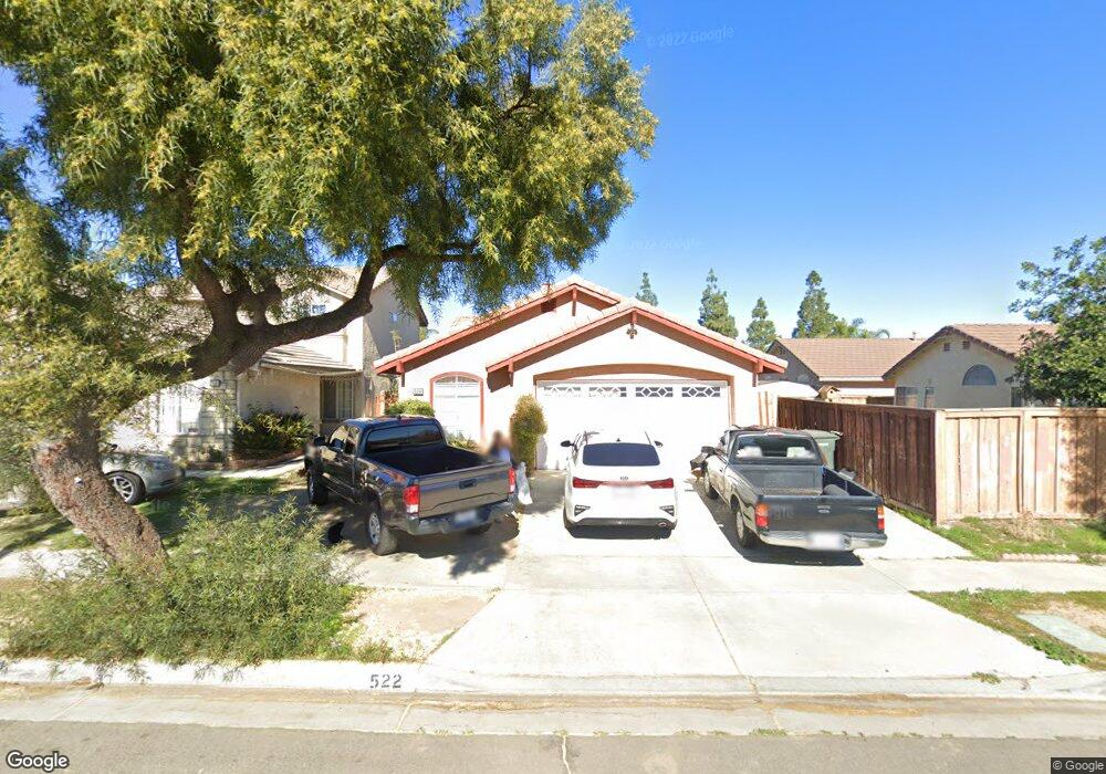
522 Dusty Ln Perris, CA 92571
Central Perris NeighborhoodEstimated Value: $445,000 - $468,000
3
Beds
2
Baths
1,107
Sq Ft
$410/Sq Ft
Est. Value
About This Home
This home is located at 522 Dusty Ln, Perris, CA 92571 and is currently estimated at $454,385, approximately $410 per square foot. 522 Dusty Ln is a home located in Riverside County with nearby schools including Triple Crown Elementary School, Lakeside Middle School, and Rancho Verde High School.
Ownership History
Date
Name
Owned For
Owner Type
Purchase Details
Closed on
May 1, 2003
Sold by
Ochoada Alejo N and Sabillo Enrique L
Bought by
Marquez Santiago and Muro Mercedes
Current Estimated Value
Home Financials for this Owner
Home Financials are based on the most recent Mortgage that was taken out on this home.
Original Mortgage
$150,000
Outstanding Balance
$64,813
Interest Rate
5.71%
Mortgage Type
Purchase Money Mortgage
Estimated Equity
$389,572
Create a Home Valuation Report for This Property
The Home Valuation Report is an in-depth analysis detailing your home's value as well as a comparison with similar homes in the area
Home Values in the Area
Average Home Value in this Area
Purchase History
We collect this data history from publicly available records. To have your information removed, we recommend requesting removal directly through your county’s website.
| Date | Buyer | Sale Price | Title Company |
|---|---|---|---|
| Marquez Santiago | $150,000 | American Title Co |
Source: Public Records
Mortgage History
We collect this data history from publicly available records. To have your information removed, we recommend requesting removal directly through your county’s website.
| Date | Status | Borrower | Loan Amount |
|---|---|---|---|
| Open | Marquez Santiago | $150,000 |
Source: Public Records
Tax History
| Year | Tax Paid | Tax Assessment Tax Assessment Total Assessment is a certain percentage of the fair market value that is determined by local assessors to be the total taxable value of land and additions on the property. | Land | Improvement |
|---|---|---|---|---|
| 2025 | $2,526 | $217,222 | $57,917 | $159,305 |
| 2023 | $2,526 | $208,789 | $55,669 | $153,120 |
| 2022 | $2,451 | $204,696 | $54,578 | $150,118 |
| 2021 | $2,434 | $200,683 | $53,508 | $147,175 |
| 2020 | $2,410 | $198,626 | $52,960 | $145,666 |
| 2019 | $2,273 | $194,732 | $51,922 | $142,810 |
| 2018 | $2,241 | $190,914 | $50,905 | $140,009 |
| 2017 | $2,190 | $187,171 | $49,907 | $137,264 |
| 2016 | $2,164 | $183,502 | $48,929 | $134,573 |
| 2015 | $2,132 | $180,747 | $48,195 | $132,552 |
| 2014 | $2,106 | $177,207 | $47,251 | $129,956 |
Source: Public Records
Map
Nearby Homes
- 560 Coudures Way
- 462 Coudures Way
- 507 Coudures Way
- 2292 Tiger Lilly Way
- 377 Aurora Dr
- 2355 Stonybrook Way
- 274 Morning Sky Dr
- 2248 Ridge Ct
- 2247 Firebrand Ave
- 2412 Forest Grove Ln
- 1947 Neptune Dr
- 2338 Willowbrook Ln
- 1832 Havasu St
- 2311 Willowbrook Ln
- 2242 Autumn Ct
- 2498 Majestic Prince Ct
- 2036 Cherrytree Dr
- 154 Ambrosia Ct
- 2607 Ferdinand Ct
- 0 Redlands Ave Unit SW26063801
Your Personal Tour Guide
Ask me questions while you tour the home.