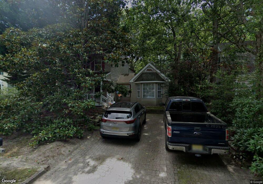
522 E Revere Ct Galloway, NJ 08205
Estimated Value: $413,692 - $492,000
Studio
--
Bath
2,227
Sq Ft
$205/Sq Ft
Est. Value
About This Home
This home is located at 522 E Revere Ct, Galloway, NJ 08205 and is currently estimated at $457,423, approximately $205 per square foot. 522 E Revere Ct is a home located in Atlantic County with nearby schools including Absegami High School, Cedar Creek High School, and Oakcrest High School.
Ownership History
Date
Name
Owned For
Owner Type
Purchase Details
Closed on
Mar 21, 1997
Sold by
Zacker Charlotte and Zacker Donald C
Bought by
Brown Kenneth O and Brown Marie L
Current Estimated Value
Home Financials for this Owner
Home Financials are based on the most recent Mortgage that was taken out on this home.
Original Mortgage
$135,890
Outstanding Balance
$12,804
Interest Rate
7.59%
Mortgage Type
FHA
Estimated Equity
$444,619
Purchase Details
Closed on
Dec 19, 1989
Sold by
Zacker Charlotte C and Zacker Didonato T
Bought by
Zacker Charlotte
Purchase Details
Closed on
Aug 23, 1988
Sold by
Smithville Development Co Inc
Bought by
Rothstein Charlotte and Rothstein Didonato,Tom
Create a Home Valuation Report for This Property
The Home Valuation Report is an in-depth analysis detailing your home's value as well as a comparison with similar homes in the area
Home Values in the Area
Average Home Value in this Area
Purchase History
| Date | Buyer | Sale Price | Title Company |
|---|---|---|---|
| Brown Kenneth O | $139,900 | The Title Company | |
| Zacker Charlotte | $108,600 | -- | |
| Rothstein Charlotte | $147,300 | -- |
Source: Public Records
Mortgage History
| Date | Status | Borrower | Loan Amount |
|---|---|---|---|
| Open | Brown Kenneth O | $135,890 |
Source: Public Records
Tax History
| Year | Tax Paid | Tax Assessment Tax Assessment Total Assessment is a certain percentage of the fair market value that is determined by local assessors to be the total taxable value of land and additions on the property. | Land | Improvement |
|---|---|---|---|---|
| 2025 | $7,210 | $216,000 | $65,600 | $150,400 |
| 2024 | $7,210 | $216,000 | $65,600 | $150,400 |
| 2023 | $6,936 | $216,000 | $65,600 | $150,400 |
| 2022 | $6,936 | $216,000 | $65,600 | $150,400 |
| 2021 | $6,798 | $216,000 | $65,600 | $150,400 |
| 2020 | $6,690 | $216,000 | $65,600 | $150,400 |
| 2019 | $6,566 | $216,000 | $65,600 | $150,400 |
| 2018 | $6,659 | $216,000 | $65,600 | $150,400 |
| 2017 | $6,659 | $216,000 | $65,600 | $150,400 |
| 2016 | $6,601 | $216,000 | $65,600 | $150,400 |
| 2015 | $6,571 | $216,000 | $65,600 | $150,400 |
| 2014 | $6,353 | $216,000 | $65,600 | $150,400 |
Source: Public Records
Map
Nearby Homes
- 529 E Revere Way
- 531 Salem Way
- 519 Weston Dr
- 569 Chatham Way
- 52 Meadow Ridge Rd Unit 15
- 37 Driftwood Ct Unit 37
- 668 E Lake Front Cir
- 127 Newcastle Ct
- 644 E Chancery Ln Unit 14A
- 113 Harwich Way
- 156 Driftwood Ct Unit 286
- 109 Driftwood Ct Unit 6
- 685 E Lake Front Cir Unit 81
- 415 Scarborough Ct
- 100 Hyannis Ct
- 19 Chesapeake Dr Unit 1
- 670 E Chancery Ln
- 2 Northampton Rd
- 17 Derby Dr
- 4 Northampton Rd
- 520 E Revere Ct
- 524 E Revere Ct
- 518 E Revere Ct
- 526 E Revere Way
- 531 Saratoga Place
- 533 Saratoga Place
- 528 E Revere Way
- 516 E Revere Ct
- 529 Saratoga Place
- 530 E Revere Way
- 523 E Revere Way
- 535 Saratoga Place
- 525 E Revere Way
- 514 E Revere Ct
- 521 E Revere Way
- 527 E Revere Way
- 512 E Revere Ct
- 532 E Revere Way
- 527 Saratoga Place
- 519 E Revere Way
Your Personal Tour Guide
Ask me questions while you tour the home.