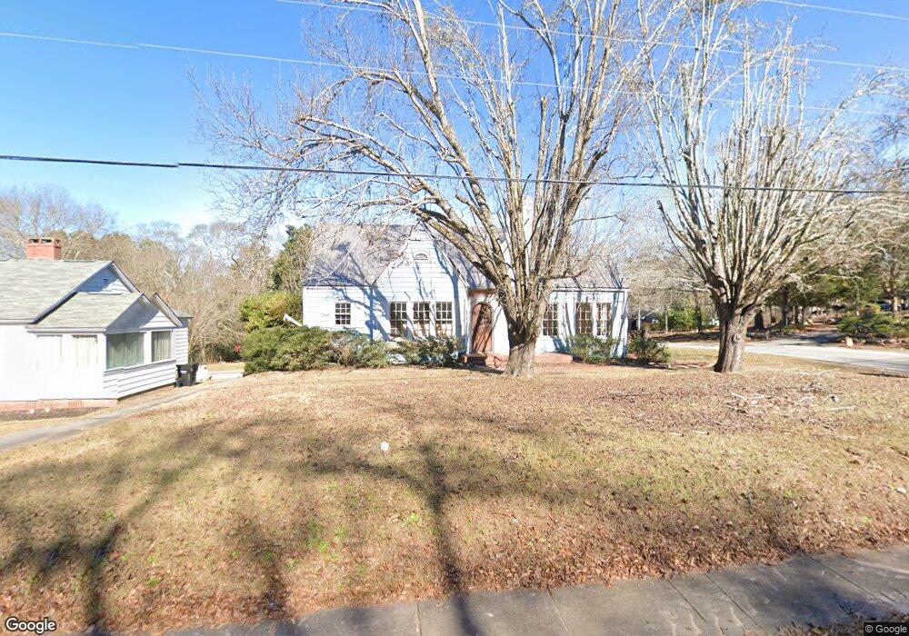
522 Forsyth St Barnesville, GA 30204
Estimated Value: $126,625 - $186,000
2
Beds
1
Bath
1,139
Sq Ft
$144/Sq Ft
Est. Value
About This Home
This home is located at 522 Forsyth St, Barnesville, GA 30204 and is currently estimated at $163,906, approximately $143 per square foot. 522 Forsyth St is a home located in Lamar County with nearby schools including Lamar County Primary School, Lamar County Elementary School, and Lamar County Middle School.
Ownership History
Date
Name
Owned For
Owner Type
Purchase Details
Closed on
Feb 12, 2024
Sold by
Bianca Diromero Marcia
Bought by
Mb Square Revocable Trust Dated January and Vivaldi Maria E Rodriguez Tr
Current Estimated Value
Purchase Details
Closed on
Sep 3, 2021
Sold by
Walters Monica L
Bought by
Marques Marcia
Purchase Details
Closed on
Dec 29, 2009
Sold by
Secretary Of Housing
Bought by
Walters Monica L
Purchase Details
Closed on
May 5, 2009
Sold by
Reece Barry A
Bought by
Countrywide Home Loans
Purchase Details
Closed on
Aug 31, 2007
Sold by
Helms Dorothy
Bought by
Reece Barry A
Home Financials for this Owner
Home Financials are based on the most recent Mortgage that was taken out on this home.
Original Mortgage
$85,821
Interest Rate
6.62%
Mortgage Type
FHA
Purchase Details
Closed on
Feb 15, 2002
Bought by
Walker Clarice
Create a Home Valuation Report for This Property
The Home Valuation Report is an in-depth analysis detailing your home's value as well as a comparison with similar homes in the area
Home Values in the Area
Average Home Value in this Area
Purchase History
| Date | Buyer | Sale Price | Title Company |
|---|---|---|---|
| Mb Square Revocable Trust Dated January | -- | -- | |
| Marques Marcia | $70,000 | -- | |
| Walters Monica L | $35,000 | -- | |
| Countrywide Home Loans | -- | -- | |
| Reece Barry A | $86,500 | -- | |
| Walker Clarice | -- | -- |
Source: Public Records
Mortgage History
| Date | Status | Borrower | Loan Amount |
|---|---|---|---|
| Previous Owner | Reece Barry A | $85,821 |
Source: Public Records
Tax History Compared to Growth
Tax History
| Year | Tax Paid | Tax Assessment Tax Assessment Total Assessment is a certain percentage of the fair market value that is determined by local assessors to be the total taxable value of land and additions on the property. | Land | Improvement |
|---|---|---|---|---|
| 2024 | $1,754 | $61,206 | $5,000 | $56,206 |
| 2023 | $1,019 | $33,019 | $5,000 | $28,019 |
| 2022 | $773 | $31,982 | $5,000 | $26,982 |
| 2021 | $931 | $30,960 | $5,000 | $25,960 |
| 2020 | $875 | $27,638 | $5,000 | $22,638 |
| 2019 | $877 | $27,638 | $5,000 | $22,638 |
| 2018 | $485 | $15,928 | $5,000 | $10,928 |
| 2017 | $483 | $15,928 | $5,000 | $10,928 |
| 2016 | $483 | $15,928 | $5,000 | $10,928 |
| 2015 | $482 | $15,928 | $5,000 | $10,928 |
| 2014 | $467 | $15,928 | $5,000 | $10,928 |
| 2013 | -- | $15,928 | $5,000 | $10,928 |
Source: Public Records
Map
Nearby Homes
- 205 Mathews St
- 209 Mathews St
- 308 Moye St
- 303 Carleeta St
- 202 Northside Dr
- 4 Jackson St
- 0 Hannah Ct Unit LOT 13 10587187
- 0 Hannah Ct Unit LOT 10 10587183
- 0 Hannah Ct Unit LOT 14 10587190
- 107 1st St
- 0 Bush St Unit 10582678
- 0 Hannah St Unit LOT 1 10587177
- 101 3rd St
- 0 Mill St Unit 10420113
- 531 Thomaston St
- 150 Georgia Ave
- 0 Roberts Rd Unit 10593586
- 205 Georgia Ave
- 245 Atlanta St
- 108 Bradley Cir