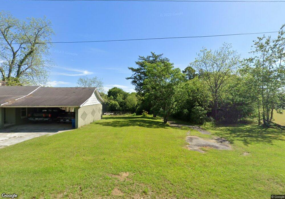
522 Ga Highway 133 N Doerun, GA 31744
Estimated Value: $82,452 - $149,000
3
Beds
1
Bath
1,512
Sq Ft
$72/Sq Ft
Est. Value
About This Home
This home is located at 522 Ga Highway 133 N, Doerun, GA 31744 and is currently estimated at $108,863, approximately $71 per square foot. 522 Ga Highway 133 N is a home located in Colquitt County with nearby schools including Doerun Elementary School, C.A. Gray Junior High School, and Willie J. Williams Middle School.
Ownership History
Date
Name
Owned For
Owner Type
Purchase Details
Closed on
Sep 3, 2013
Sold by
Brown Mark
Bought by
Citizens Bank
Current Estimated Value
Purchase Details
Closed on
Nov 20, 2007
Sold by
Us Bank National Associati
Bought by
Brown Mark
Purchase Details
Closed on
Feb 6, 2007
Sold by
Mcmurphy Audie
Bought by
Us Bank National Association T
Purchase Details
Closed on
Jan 21, 2005
Sold by
Wilson Janice L
Bought by
Mcmurphy Audie
Purchase Details
Closed on
Nov 21, 1996
Bought by
Wilson Janice L
Purchase Details
Closed on
May 19, 1995
Bought by
Wilson Janice L
Purchase Details
Closed on
Apr 27, 1994
Bought by
Clanton William M
Purchase Details
Closed on
Apr 4, 1988
Bought by
Wingate Myrtice
Create a Home Valuation Report for This Property
The Home Valuation Report is an in-depth analysis detailing your home's value as well as a comparison with similar homes in the area
Home Values in the Area
Average Home Value in this Area
Purchase History
| Date | Buyer | Sale Price | Title Company |
|---|---|---|---|
| Citizens Bank | -- | -- | |
| Brown Mark | $25,000 | -- | |
| Us Bank National Association T | -- | -- | |
| Mcmurphy Audie | $59,900 | -- | |
| Wilson Janice L | -- | -- | |
| Wilson Janice L | -- | -- | |
| Wilson Janice L | $25,000 | -- | |
| Clanton William M | $18,000 | -- | |
| Wingate Myrtice | -- | -- |
Source: Public Records
Tax History Compared to Growth
Tax History
| Year | Tax Paid | Tax Assessment Tax Assessment Total Assessment is a certain percentage of the fair market value that is determined by local assessors to be the total taxable value of land and additions on the property. | Land | Improvement |
|---|---|---|---|---|
| 2024 | $67 | $23,347 | $4,047 | $19,300 |
| 2023 | $603 | $17,531 | $4,047 | $13,484 |
| 2022 | $498 | $16,805 | $4,047 | $12,758 |
| 2021 | $463 | $15,293 | $4,047 | $11,246 |
| 2020 | $472 | $15,293 | $4,047 | $11,246 |
| 2019 | $521 | $15,293 | $4,047 | $11,246 |
| 2018 | $490 | $14,497 | $3,251 | $11,246 |
| 2017 | $487 | $14,497 | $3,251 | $11,246 |
| 2016 | $490 | $14,497 | $3,251 | $11,246 |
| 2015 | $433 | $13,766 | $2,520 | $11,246 |
| 2014 | $688 | $19,773 | $2,520 | $17,253 |
| 2013 | -- | $19,773 | $2,520 | $17,253 |
Source: Public Records
Map
Nearby Homes
- 318 E Culpepper Ave
- 417 W Bay Ave
- 511 W Broad Ave
- 104 Union Ln
- 715 W Robinson Ave
- 825 N Green St
- 512 Hagin Still Rd
- 0 Sam Sells Rd
- 2329 Evergreen Rd
- 340 Belk Rd
- 1791 Funston Sigsbee Rd
- 1485 Bay Rd
- 378 Old S R 33
- 4409 Georgia 112
- 330/332 Debbie Ln
- 712 Blackberry Rd
- 156 E Maple St
- 441 Weaver Rd
- 155 N Kreuger St
- 102 Schley Church Rd
- 422 Moultrie Rd
- 700 Moultrie Rd SE
- 523 Ga Highway 133 N
- 419 E Fincher Ave
- 414 E Fincher Ave
- 403 E Fincher Ave
- 422 S Fain St
- 320 E Fincher Ave
- 423 S Fain St
- 2955 Funston Doerun Rd
- 325 E Fincher Ave
- 318 E Fincher Ave
- 403 E Culpepper Ave
- 315 E Fincher Ave
- 312 E Culpepper Ave
- 908 S Fain St
- 822 E Broad Ave
- 916 S Fain St
- 306 E Fincher Ave
- 307 E Fincher Ave