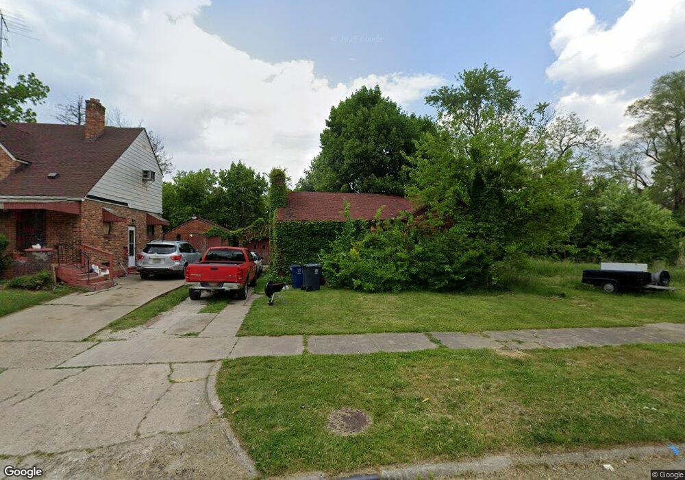
522 Green St Flint, MI 48503
King Avenue Plus NeighborhoodEstimated Value: $31,000 - $59,000
2
Beds
2
Baths
937
Sq Ft
$48/Sq Ft
Est. Value
About This Home
This home is located at 522 Green St, Flint, MI 48503 and is currently estimated at $45,000, approximately $48 per square foot. 522 Green St is a home located in Genesee County with nearby schools including Brownell STEM Academy, Greater Heights Academy, and Eagle's Nest Academy.
Ownership History
Date
Name
Owned For
Owner Type
Purchase Details
Closed on
Dec 18, 2018
Sold by
Cherry Deborah L
Bought by
Genesee County Land Bank Athority
Current Estimated Value
Purchase Details
Closed on
Apr 26, 2005
Sold by
Citicorp Trust Bank Corp
Bought by
Meier Arthur
Home Financials for this Owner
Home Financials are based on the most recent Mortgage that was taken out on this home.
Original Mortgage
$18,275
Interest Rate
6.22%
Mortgage Type
Fannie Mae Freddie Mac
Purchase Details
Closed on
Feb 11, 2004
Sold by
Loften Betty A
Bought by
Citifinancial Inc and Citicorp Trust Bank Fsb
Create a Home Valuation Report for This Property
The Home Valuation Report is an in-depth analysis detailing your home's value as well as a comparison with similar homes in the area
Home Values in the Area
Average Home Value in this Area
Purchase History
| Date | Buyer | Sale Price | Title Company |
|---|---|---|---|
| Genesee County Land Bank Athority | -- | None Available | |
| Meier Arthur | $21,500 | Lapeer Title Agency | |
| Citifinancial Inc | $27,600 | -- |
Source: Public Records
Mortgage History
| Date | Status | Borrower | Loan Amount |
|---|---|---|---|
| Previous Owner | Meier Arthur | $18,275 |
Source: Public Records
Tax History
| Year | Tax Paid | Tax Assessment Tax Assessment Total Assessment is a certain percentage of the fair market value that is determined by local assessors to be the total taxable value of land and additions on the property. | Land | Improvement |
|---|---|---|---|---|
| 2025 | -- | $0 | $0 | $0 |
| 2024 | -- | $0 | $0 | $0 |
| 2023 | -- | $0 | $0 | $0 |
| 2022 | $0 | $0 | $0 | $0 |
| 2021 | $0 | $0 | $0 | $0 |
| 2020 | $0 | $0 | $0 | $0 |
| 2019 | $669 | $0 | $0 | $0 |
| 2018 | $127 | $800 | $0 | $0 |
| 2017 | $602 | $0 | $0 | $0 |
| 2016 | $669 | $0 | $0 | $0 |
| 2015 | -- | $0 | $0 | $0 |
| 2014 | -- | $0 | $0 | $0 |
| 2012 | -- | $8,800 | $0 | $0 |
Source: Public Records
Map
Nearby Homes
- 506 Green St
- 501 W Witherbee St
- 310 White St
- 2718 N Chevrolet Ave
- 1909 Proctor Ave
- 432 W Dartmouth St
- 1645 Seminole St
- 409 W Genesee St
- 2217 Francis Ave
- 1651 N Chevrolet Ave
- 716 W Genesee St
- 2318 Delmar St
- 2414 Delmar St
- 1407 Greenway Ave
- 320 W Mcclellan St
- 1315 Welch Blvd
- 2424 Begole St
- 1606 Garland St
- 2302 Mallery St
- 218 E Jackson Ave
Your Personal Tour Guide
Ask me questions while you tour the home.