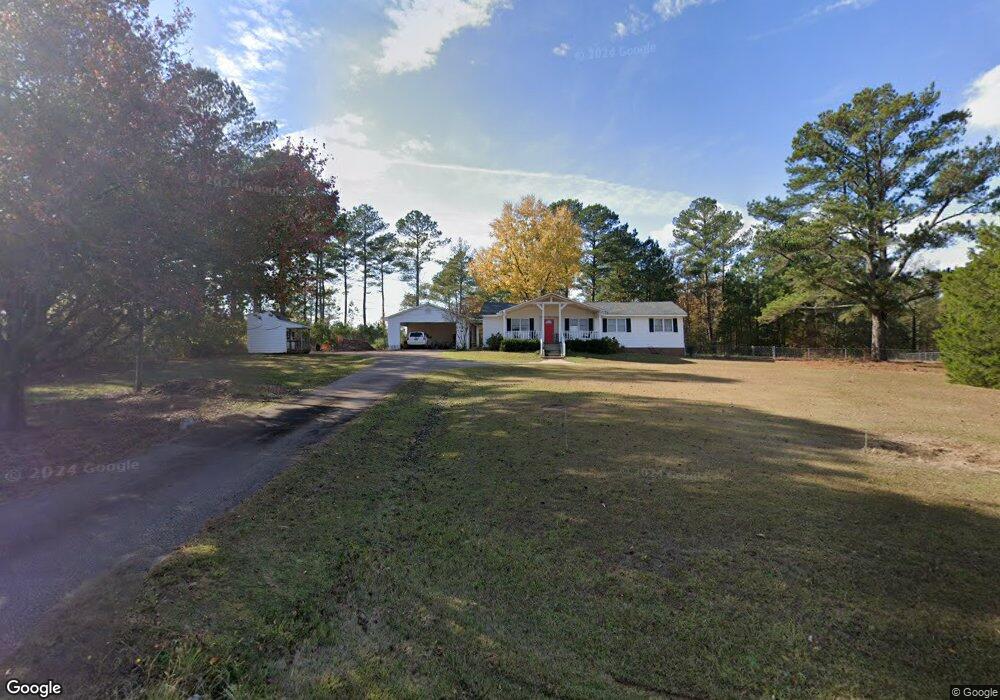
522 Lanier Rd Lagrange, GA 30241
Estimated Value: $225,000 - $321,000
3
Beds
2
Baths
1,456
Sq Ft
$173/Sq Ft
Est. Value
About This Home
This home is located at 522 Lanier Rd, Lagrange, GA 30241 and is currently estimated at $252,603, approximately $173 per square foot. 522 Lanier Rd is a home with nearby schools including Rosemont Elementary School, Whitesville Road Elementary School, and Berta Weathersbee Elementary School.
Ownership History
Date
Name
Owned For
Owner Type
Purchase Details
Closed on
Sep 19, 2014
Sold by
Garner Larry E
Bought by
Garner Andrew B
Current Estimated Value
Home Financials for this Owner
Home Financials are based on the most recent Mortgage that was taken out on this home.
Original Mortgage
$60,000
Interest Rate
4.15%
Mortgage Type
New Conventional
Purchase Details
Closed on
Dec 30, 1999
Sold by
Larry Garner and Larry Janice
Bought by
Glenn Allen Garner
Purchase Details
Closed on
Feb 10, 1995
Sold by
Mosely Brenda
Bought by
Larry Garner and Larry Janice
Purchase Details
Closed on
Sep 25, 1991
Sold by
Tommy Mitchell Moseley
Bought by
Mosely Brenda
Purchase Details
Closed on
Dec 3, 1980
Sold by
Minnie Prime Moseley
Bought by
Tommy Mitchell Moseley
Create a Home Valuation Report for This Property
The Home Valuation Report is an in-depth analysis detailing your home's value as well as a comparison with similar homes in the area
Purchase History
| Date | Buyer | Sale Price | Title Company |
|---|---|---|---|
| Garner Andrew B | $100,000 | -- | |
| Glenn Allen Garner | $57,300 | -- | |
| Larry Garner | $57,300 | -- | |
| Mosely Brenda | -- | -- | |
| Tommy Mitchell Moseley | $3,000 | -- |
Source: Public Records
Mortgage History
| Date | Status | Borrower | Loan Amount |
|---|---|---|---|
| Closed | Garner Andrew B | $60,000 |
Source: Public Records
Tax History
| Year | Tax Paid | Tax Assessment Tax Assessment Total Assessment is a certain percentage of the fair market value that is determined by local assessors to be the total taxable value of land and additions on the property. | Land | Improvement |
|---|---|---|---|---|
| 2025 | $1,996 | $77,536 | $13,560 | $63,976 |
| 2024 | $1,932 | $70,852 | $13,560 | $57,292 |
| 2023 | $1,598 | $58,600 | $13,560 | $45,040 |
| 2022 | $1,542 | $55,240 | $13,560 | $41,680 |
| 2021 | $1,285 | $42,600 | $10,920 | $31,680 |
| 2020 | $1,285 | $42,600 | $10,920 | $31,680 |
| 2019 | $1,273 | $42,200 | $10,920 | $31,280 |
| 2018 | $1,187 | $39,360 | $10,920 | $28,440 |
| 2017 | $1,187 | $39,360 | $10,920 | $28,440 |
| 2016 | $1,173 | $38,902 | $10,934 | $27,967 |
| 2015 | $1,175 | $38,902 | $10,934 | $27,967 |
| 2014 | $1,146 | $37,861 | $10,934 | $26,926 |
| 2013 | -- | $38,998 | $10,934 | $28,063 |
Source: Public Records
Map
Nearby Homes
- 3913 Whitesville Rd
- 11.59+/- AC Hunt Rd
- 1605 Bartley Rd
- 1820 Salem Rd
- 246 S Smith Rd
- 113 Glenn Eagle Point
- 130 Hamilton Lake Dr
- 111 Prestwick Dr
- 0 Salem Lot 3 Rd Unit LOT 3
- 0 Salem Lot 1 Rd Unit LOT 1
- 2851 & 2891 Hamilton Rd
- 137 Robertson Rd
- 0 Whitesville Rd Unit 10496838
- 0 Robert Hodnett Rd Unit 10709308
- 620 Old Hutchinson Mill Rd
- 209 Grace Ct
- 557 Lago Ct
- 312 Lana Ln
- 501 Lago Ct
- 143 Willis Cir
Your Personal Tour Guide
Ask me questions while you tour the home.