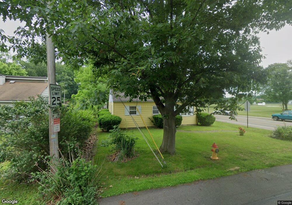
522 Locke Ave SW Massillon, OH 44646
Estimated Value: $98,000 - $107,000
3
Beds
1
Bath
768
Sq Ft
$132/Sq Ft
Est. Value
About This Home
This home is located at 522 Locke Ave SW, Massillon, OH 44646 and is currently estimated at $101,602, approximately $132 per square foot. 522 Locke Ave SW is a home located in Stark County with nearby schools including Pfeiffer Intermediate School, Edison Middle School, and Perry High School.
Ownership History
Date
Name
Owned For
Owner Type
Purchase Details
Closed on
Jan 16, 2019
Sold by
Machesney Donna
Bought by
Machesney Deidre
Current Estimated Value
Home Financials for this Owner
Home Financials are based on the most recent Mortgage that was taken out on this home.
Original Mortgage
$57,230
Outstanding Balance
$50,214
Interest Rate
4.5%
Mortgage Type
New Conventional
Estimated Equity
$51,388
Purchase Details
Closed on
Sep 1, 2004
Sold by
Fisher John H and Fisher Mae
Bought by
Fisher Emerson John Henry and Fisher Mae
Create a Home Valuation Report for This Property
The Home Valuation Report is an in-depth analysis detailing your home's value as well as a comparison with similar homes in the area
Home Values in the Area
Average Home Value in this Area
Purchase History
| Date | Buyer | Sale Price | Title Company |
|---|---|---|---|
| Machesney Deidre | $59,000 | None Available | |
| Fisher Emerson John Henry | -- | -- |
Source: Public Records
Mortgage History
| Date | Status | Borrower | Loan Amount |
|---|---|---|---|
| Open | Machesney Deidre | $57,230 |
Source: Public Records
Tax History Compared to Growth
Tax History
| Year | Tax Paid | Tax Assessment Tax Assessment Total Assessment is a certain percentage of the fair market value that is determined by local assessors to be the total taxable value of land and additions on the property. | Land | Improvement |
|---|---|---|---|---|
| 2025 | -- | $23,310 | $6,510 | $16,800 |
| 2024 | -- | $23,310 | $6,510 | $16,800 |
| 2023 | $1,004 | $19,990 | $7,740 | $12,250 |
| 2022 | $1,011 | $19,990 | $7,740 | $12,250 |
| 2021 | $1,077 | $19,990 | $7,740 | $12,250 |
| 2020 | $928 | $16,520 | $6,510 | $10,010 |
| 2019 | $397 | $16,520 | $6,510 | $10,010 |
| 2018 | $392 | $16,520 | $6,510 | $10,010 |
| 2017 | $365 | $15,440 | $6,090 | $9,350 |
| 2016 | $367 | $15,440 | $6,090 | $9,350 |
| 2015 | $370 | $15,440 | $6,090 | $9,350 |
| 2014 | $347 | $14,910 | $5,880 | $9,030 |
| 2013 | $168 | $14,910 | $5,880 | $9,030 |
Source: Public Records
Map
Nearby Homes
- 212 Westland Ave SW
- 122 Westland Ave SW
- 138 Wrexham Ave SW
- 200 Stewart Ave NW
- 3626 Hazelbrook St SW
- 326 Locke Ave NW
- 334 Locke Ave NW
- 337 Harding Ave NW
- 1205 Sippo Ave SW
- 150 Hinderer Ave SW
- 0 Clark St SW Unit 5126336
- 141 Ingall Ave NW
- 232 Proudley Ave SW
- 3412 Bailey St NW
- 1209 Brooklyn Ave SW
- 212 Lennox Ave NW
- 0 Newport Ave NW Unit 5143464
- 226 Austin Ave NW
- 3231 Hilton St NW
- 3250 Rayanna St NW
- 518 Locke Ave SW
- 512 Locke Ave SW
- 523 Stewart Ave SW
- 513 Stewart Ave SW
- 519 Locke Ave SW
- 502 Locke Ave SW
- 513 Locke Ave SW
- 509 Stewart Ave SW
- 509 Locke Ave SW
- 503 Stewart Ave SW
- 328 Locke Ave SW
- 327 Stewart Ave SW
- 520 Stewart Ave SW
- 522 Harding Ave SW
- 503 Locke Ave SW
- 322 Locke Ave SW
- 518 Harding Ave SW
- 514 Harding Ave SW
- 504 Stewart Ave SW
- 508 Harding Ave SW