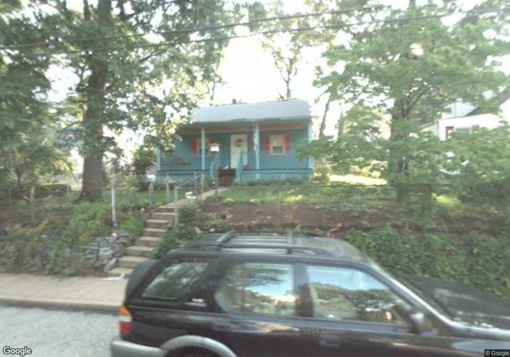
522 Manor Rd Glen Burnie, MD 21061
Estimated Value: $321,000 - $409,000
--
Bed
1
Bath
1,200
Sq Ft
$297/Sq Ft
Est. Value
About This Home
This home is located at 522 Manor Rd, Glen Burnie, MD 21061 and is currently estimated at $356,736, approximately $297 per square foot. 522 Manor Rd is a home located in Anne Arundel County with nearby schools including Woodside Elementary School, Corkran Middle School, and Glen Burnie High School.
Ownership History
Date
Name
Owned For
Owner Type
Purchase Details
Closed on
Nov 13, 2024
Sold by
Santos Virginia Maria
Bought by
Santos Virginia Maria and Fleisch Christopher Mark
Current Estimated Value
Purchase Details
Closed on
Sep 9, 2003
Sold by
West Steven E
Bought by
Santos Virginia M
Purchase Details
Closed on
Jun 3, 1994
Sold by
Mazzatenta Anthony P
Bought by
West Steven E
Home Financials for this Owner
Home Financials are based on the most recent Mortgage that was taken out on this home.
Original Mortgage
$112,050
Interest Rate
8.49%
Purchase Details
Closed on
Mar 7, 1991
Sold by
Md Housing Fund
Bought by
Mazzatenta Anthony P
Home Financials for this Owner
Home Financials are based on the most recent Mortgage that was taken out on this home.
Original Mortgage
$92,250
Interest Rate
9.4%
Create a Home Valuation Report for This Property
The Home Valuation Report is an in-depth analysis detailing your home's value as well as a comparison with similar homes in the area
Home Values in the Area
Average Home Value in this Area
Purchase History
| Date | Buyer | Sale Price | Title Company |
|---|---|---|---|
| Santos Virginia Maria | -- | None Listed On Document | |
| Santos Virginia Maria | -- | None Listed On Document | |
| Santos Virginia M | $150,000 | -- | |
| West Steven E | $109,900 | -- | |
| Mazzatenta Anthony P | $90,000 | -- |
Source: Public Records
Mortgage History
| Date | Status | Borrower | Loan Amount |
|---|---|---|---|
| Previous Owner | West Steven E | $112,050 | |
| Previous Owner | Mazzatenta Anthony P | $92,250 | |
| Closed | Santos Virginia M | -- |
Source: Public Records
Tax History Compared to Growth
Tax History
| Year | Tax Paid | Tax Assessment Tax Assessment Total Assessment is a certain percentage of the fair market value that is determined by local assessors to be the total taxable value of land and additions on the property. | Land | Improvement |
|---|---|---|---|---|
| 2025 | $2,340 | $245,000 | $147,000 | $98,000 |
| 2024 | $2,340 | $229,900 | $0 | $0 |
| 2023 | $2,259 | $214,800 | $0 | $0 |
| 2022 | $2,095 | $199,700 | $117,000 | $82,700 |
| 2021 | $4,125 | $195,567 | $0 | $0 |
| 2020 | $1,989 | $191,433 | $0 | $0 |
| 2019 | $1,958 | $187,300 | $107,000 | $80,300 |
| 2018 | $1,837 | $181,200 | $0 | $0 |
| 2017 | $1,848 | $175,100 | $0 | $0 |
| 2016 | -- | $169,000 | $0 | $0 |
| 2015 | -- | $169,000 | $0 | $0 |
| 2014 | -- | $169,000 | $0 | $0 |
Source: Public Records
Map
Nearby Homes
- 601 Ashington Rd
- 713 Cotter Rd
- 125 Range Rd
- 0 Irene Dr
- 1016 Upton Rd
- 45 Chester Cir
- 7517 Baltimore Annapolis Blvd
- 101 Kuethe Rd NE
- 1002 Lee Rd
- 102 Garrett Rd
- 715 Griffith Rd
- 707 Delmar Ave
- 102 Kuethe Rd NE
- 102 Kent Rd
- 106 3rd Ave SE
- 409 Aquahart Rd
- 100 3rd Ave SE
- 115 Dorchester Rd
- 308 Aquahart Rd
- 133 Glen Rd