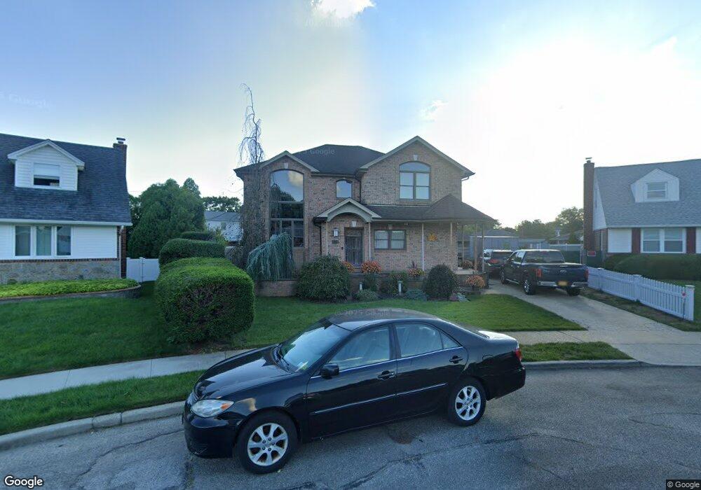
522 Mansfield Ave Levittown, NY 11756
Estimated Value: $794,000 - $822,888
--
Bed
1
Bath
2,375
Sq Ft
$340/Sq Ft
Est. Value
About This Home
This home is located at 522 Mansfield Ave, Levittown, NY 11756 and is currently estimated at $808,444, approximately $340 per square foot. 522 Mansfield Ave is a home located in Nassau County with nearby schools including Michael F. Stokes Elementary School, J Fred Sparke Elementary School, and Island Trees Middle School.
Ownership History
Date
Name
Owned For
Owner Type
Purchase Details
Closed on
Oct 10, 2003
Sold by
Fazio James
Current Estimated Value
Create a Home Valuation Report for This Property
The Home Valuation Report is an in-depth analysis detailing your home's value as well as a comparison with similar homes in the area
Home Values in the Area
Average Home Value in this Area
Purchase History
| Date | Buyer | Sale Price | Title Company |
|---|---|---|---|
| -- | -- | -- |
Source: Public Records
Tax History Compared to Growth
Tax History
| Year | Tax Paid | Tax Assessment Tax Assessment Total Assessment is a certain percentage of the fair market value that is determined by local assessors to be the total taxable value of land and additions on the property. | Land | Improvement |
|---|---|---|---|---|
| 2025 | $14,150 | $635 | $239 | $396 |
| 2024 | $4,491 | $627 | $239 | $388 |
| 2023 | $16,235 | $605 | $239 | $366 |
| 2022 | $16,235 | $707 | $277 | $430 |
| 2021 | $24,435 | $674 | $264 | $410 |
| 2020 | $18,773 | $1,205 | $597 | $608 |
| 2019 | $19,296 | $1,205 | $597 | $608 |
| 2018 | $17,036 | $1,205 | $0 | $0 |
| 2017 | $7,556 | $946 | $597 | $349 |
| 2016 | $11,686 | $946 | $597 | $349 |
| 2015 | $5,057 | $1,241 | $597 | $644 |
| 2014 | $5,057 | $1,241 | $597 | $644 |
| 2013 | $5,507 | $1,441 | $597 | $844 |
Source: Public Records
Map
Nearby Homes
- 3842 Whitman St
- 243 Elm Dr S
- 520 Ann Ln
- 17 Rural Ln
- 6 Regal Ln
- 28 Eve Ln
- 3667 Richard Ln
- 3676 Regent Ln
- 3945 Old Post Rd
- 25 Red Maple Dr N
- 4092 Maywood Dr
- 3977 Wellwood Rd
- 3621 Regent Ln
- 3980 Kingsberry Rd
- 53 Elbow Ln
- 406 Red Maple Dr W
- 294 Swansdowne Dr
- 4195 Florence Rd
- 3901 Moore St
- 122 Old Oak Ln
- 518 Mansfield Ave
- 528 Mansfield Ave
- 567 Parker Ave
- 561 Parker Ave
- 573 Parker Ave
- 533 Parker Ave
- 514 Mansfield Ave
- 534 Mansfield Ave
- 521 Parker Ave
- 555 Parker Ave
- 579 Parker Ave
- 529 Mansfield Ave
- 515 Parker Ave
- 540 Mansfield Ave
- 508 Mansfield Ave
- 585 Parker Ave
- 507 Mansfield Ave
- 566 Parker Ave
- 572 Parker Ave
- 539 Mansfield Ave