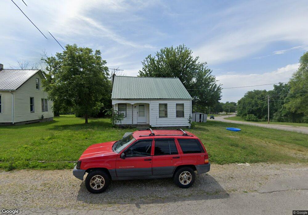
522 Mayfield St Lebanon, MO 65536
Estimated Value: $105,751 - $142,000
--
Bed
--
Bath
827
Sq Ft
$148/Sq Ft
Est. Value
About This Home
This home is located at 522 Mayfield St, Lebanon, MO 65536 and is currently estimated at $122,188, approximately $147 per square foot. 522 Mayfield St is a home located in Laclede County with nearby schools including Joe D. Esther Elementary School, Boswell Elementary School, and Maplecrest Elementary School.
Ownership History
Date
Name
Owned For
Owner Type
Purchase Details
Closed on
Jun 15, 2017
Sold by
Sessa Nancy Diane
Bought by
Matlock Properties Llc
Current Estimated Value
Home Financials for this Owner
Home Financials are based on the most recent Mortgage that was taken out on this home.
Original Mortgage
$14,400
Outstanding Balance
$2,954
Interest Rate
4.02%
Mortgage Type
Future Advance Clause Open End Mortgage
Estimated Equity
$119,234
Create a Home Valuation Report for This Property
The Home Valuation Report is an in-depth analysis detailing your home's value as well as a comparison with similar homes in the area
Home Values in the Area
Average Home Value in this Area
Purchase History
| Date | Buyer | Sale Price | Title Company |
|---|---|---|---|
| Matlock Properties Llc | -- | Hogan |
Source: Public Records
Mortgage History
| Date | Status | Borrower | Loan Amount |
|---|---|---|---|
| Open | Matlock Properties Llc | $14,400 |
Source: Public Records
Tax History Compared to Growth
Tax History
| Year | Tax Paid | Tax Assessment Tax Assessment Total Assessment is a certain percentage of the fair market value that is determined by local assessors to be the total taxable value of land and additions on the property. | Land | Improvement |
|---|---|---|---|---|
| 2025 | $273 | $5,360 | $0 | $0 |
| 2024 | $273 | $4,790 | $0 | $0 |
| 2023 | $281 | $4,790 | $0 | $0 |
| 2022 | $262 | $4,790 | $0 | $0 |
| 2021 | $289 | $4,788 | $1,159 | $3,629 |
| 2020 | $290 | $4,788 | $1,159 | $3,629 |
| 2019 | $278 | $4,790 | $1,160 | $3,630 |
| 2018 | $261 | $4,790 | $1,160 | $3,630 |
| 2017 | $247 | $4,790 | $0 | $0 |
| 2016 | $247 | $4,790 | $0 | $0 |
| 2015 | $247 | $4,790 | $0 | $0 |
| 2014 | $247 | $4,790 | $0 | $0 |
| 2013 | -- | $4,790 | $0 | $0 |
Source: Public Records
Map
Nearby Homes
- 680 Clark Ave
- 450 Michigan Ave
- 957 Wood St
- 1075 Kenoly St
- 466 Lynn St
- 540 Pearl St
- 377 Lincoln Ave
- 801 Cherry St
- 829 Lynn St
- 595 Chestnut St
- 282 Brice St
- 116 Smith Rd
- 440 Railroad Ave
- 371 N Washington Ave
- 169 Grand Ave
- 791 N Adams Ave
- 4 Hickory Ln
- 328 Driftwood Dr
- 000 Missouri 64 Unit Lot 19
- 000 Missouri 64 Unit Lot 18
- 534 Mayfield St
- 538 Mayfield St
- 1 Main St
- 671 Harwood Ave
- 669 Harwood Ave
- 780 Catherine St
- 518 Main St
- 2 Walters Dr
- 4 Walters Dr
- 6 Walters Dr
- 0 Williams St
- 639 Mayfield St
- 545 Saint Louis St
- 545 Saint Louis St Unit 567
- 519 Saint Louis St
- 795 Green St
- 10 Walters Dr
- 611 Mcphail St
- 800 Catherine St
- 591 Saint Louis St