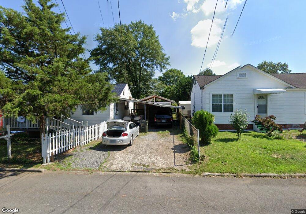
522 Mcafee St Dalton, GA 30721
Estimated Value: $121,160 - $212,000
Studio
1
Bath
792
Sq Ft
$198/Sq Ft
Est. Value
About This Home
This home is located at 522 Mcafee St, Dalton, GA 30721 and is currently estimated at $156,540, approximately $197 per square foot. 522 Mcafee St is a home located in Whitfield County with nearby schools including Blue Ridge Elementary School, Dalton High School, and Christian Heritage School.
Ownership History
Date
Name
Owned For
Owner Type
Purchase Details
Closed on
Jun 25, 2009
Sold by
Alvarez Secundino
Bought by
Alvarez Secundino
Current Estimated Value
Home Financials for this Owner
Home Financials are based on the most recent Mortgage that was taken out on this home.
Original Mortgage
$55,962
Outstanding Balance
$34,956
Interest Rate
4.88%
Mortgage Type
FHA
Estimated Equity
$121,584
Purchase Details
Closed on
Aug 31, 2001
Sold by
Manis Geneva C
Bought by
Alravez Secundino
Create a Home Valuation Report for This Property
The Home Valuation Report is an in-depth analysis detailing your home's value as well as a comparison with similar homes in the area
Purchase History
| Date | Buyer | Sale Price | Title Company |
|---|---|---|---|
| Alvarez Secundino | -- | -- | |
| Alravez Secundino | $39,000 | -- |
Source: Public Records
Mortgage History
| Date | Status | Borrower | Loan Amount |
|---|---|---|---|
| Open | Alvarez Secundino | $55,962 |
Source: Public Records
Tax History
| Year | Tax Paid | Tax Assessment Tax Assessment Total Assessment is a certain percentage of the fair market value that is determined by local assessors to be the total taxable value of land and additions on the property. | Land | Improvement |
|---|---|---|---|---|
| 2025 | -- | $46,259 | $8,400 | $37,859 |
| 2024 | -- | $46,259 | $8,400 | $37,859 |
| 2023 | $45 | $26,170 | $5,400 | $20,770 |
| 2022 | $2 | $20,271 | $5,400 | $14,871 |
| 2021 | $2 | $20,271 | $5,400 | $14,871 |
| 2020 | $2 | $20,271 | $5,400 | $14,871 |
| 2019 | $2 | $20,271 | $5,400 | $14,871 |
| 2018 | $3 | $20,271 | $5,400 | $14,871 |
| 2017 | $3 | $20,271 | $5,400 | $14,871 |
| 2016 | -- | $15,651 | $2,100 | $13,551 |
| 2014 | $314 | $15,651 | $2,100 | $13,551 |
| 2013 | -- | $15,650 | $2,100 | $13,550 |
Source: Public Records
Map
Nearby Homes
- 230 Henderson St
- 404 Paige St
- 825 Martin Luther King jr Blvd
- 204 N Bogle St
- 533 Underwood St
- 301B Fields Ave
- 429 S Glenwood Ave
- 432 4th Ave
- 303 Janice St
- 601 Juniper Ave
- 303 Crystal Place
- 509 N Hamilton St
- 1118 Dozier St
- 406 S Thornton Ave Unit 105
- 626 Fifth Ave
- 1133 Orman St
- 208 E Walnut Ave
- 1104 May St
- 103 Edgewood Ave
- 1114 Underwood St
Your Personal Tour Guide
Ask me questions while you tour the home.