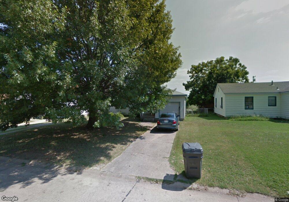
522 Oak St Ardmore, OK 73401
Estimated Value: $76,881 - $106,000
2
Beds
1
Bath
748
Sq Ft
$117/Sq Ft
Est. Value
About This Home
This home is located at 522 Oak St, Ardmore, OK 73401 and is currently estimated at $87,720, approximately $117 per square foot. 522 Oak St is a home located in Carter County with nearby schools including Charles Evans Elementary School, Ardmore Middle School, and Ardmore High School.
Ownership History
Date
Name
Owned For
Owner Type
Purchase Details
Closed on
Dec 14, 2006
Sold by
Mcmahon David and Mcmahon Shanon
Bought by
Byrne Gerry Brett and Byrne Debbie Ann
Current Estimated Value
Home Financials for this Owner
Home Financials are based on the most recent Mortgage that was taken out on this home.
Original Mortgage
$35,200
Interest Rate
6.27%
Mortgage Type
Future Advance Clause Open End Mortgage
Purchase Details
Closed on
Mar 28, 1994
Sold by
Scott Ralph and Scott Helen
Bought by
Mcmahon David and Mcmahon Shanon
Purchase Details
Closed on
Mar 11, 1994
Sold by
Scott Ralph and Scott Helen
Bought by
Scott Ralph and Scott Helen
Create a Home Valuation Report for This Property
The Home Valuation Report is an in-depth analysis detailing your home's value as well as a comparison with similar homes in the area
Purchase History
| Date | Buyer | Sale Price | Title Company |
|---|---|---|---|
| Byrne Gerry Brett | $25,000 | -- | |
| Mcmahon David | -- | -- | |
| Scott Ralph | -- | -- |
Source: Public Records
Mortgage History
| Date | Status | Borrower | Loan Amount |
|---|---|---|---|
| Closed | Byrne Gerry Brett | $35,200 |
Source: Public Records
Tax History
| Year | Tax Paid | Tax Assessment Tax Assessment Total Assessment is a certain percentage of the fair market value that is determined by local assessors to be the total taxable value of land and additions on the property. | Land | Improvement |
|---|---|---|---|---|
| 2025 | $557 | $5,582 | $915 | $4,667 |
| 2024 | $525 | $5,316 | $871 | $4,445 |
| 2023 | $500 | $5,063 | $832 | $4,231 |
| 2022 | $461 | $4,823 | $798 | $4,025 |
| 2021 | $463 | $4,593 | $745 | $3,848 |
| 2020 | $435 | $4,374 | $660 | $3,714 |
| 2019 | $404 | $4,166 | $629 | $3,537 |
| 2018 | $392 | $3,968 | $599 | $3,369 |
| 2017 | $345 | $3,778 | $570 | $3,208 |
| 2016 | $335 | $3,599 | $548 | $3,051 |
| 2015 | $263 | $3,428 | $288 | $3,140 |
| 2014 | $251 | $3,265 | $294 | $2,971 |
Source: Public Records
Map
Nearby Homes
- 1908 Choctaw Ave
- 525 Cottonwood St
- 1817 Comanche St
- 703 Cottonwood St
- 434 Locust St NW
- 707 Maxwell St NW
- 414 Locust St
- 1740 Tiverton St
- 723 Maxwell St NW
- 1903 Robison St
- 1737 Winchester St
- 912 Maxwell St NW
- 815 Campbell St
- 923 Maxwell St NW
- 0 Hometown Rd Unit 2607656
- 00 N Rockford Rd
- 0 15th Unit 2546881
- 0 US Highway 77
- 985 US Highway 77
- 1496 US Highway 77
Your Personal Tour Guide
Ask me questions while you tour the home.