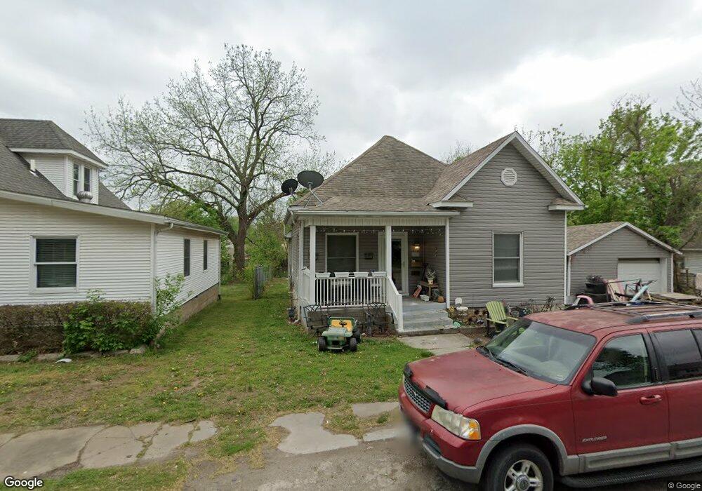
522 Poplar St Carthage, MO 64836
Estimated Value: $121,635 - $164,000
--
Bed
1
Bath
1,316
Sq Ft
$112/Sq Ft
Est. Value
About This Home
This home is located at 522 Poplar St, Carthage, MO 64836 and is currently estimated at $147,909, approximately $112 per square foot. 522 Poplar St is a home located in Jasper County with nearby schools including Carthage High School, Victory Academy, and St. Ann's Catholic School.
Ownership History
Date
Name
Owned For
Owner Type
Purchase Details
Closed on
Mar 11, 2024
Sold by
Heinz Dean Emery and Heinz Debra Marie
Bought by
Heinz Cory
Current Estimated Value
Home Financials for this Owner
Home Financials are based on the most recent Mortgage that was taken out on this home.
Original Mortgage
$109,971
Outstanding Balance
$108,057
Interest Rate
6.69%
Mortgage Type
FHA
Estimated Equity
$39,853
Purchase Details
Closed on
Jul 22, 2021
Sold by
Heinz Georgeanna B
Bought by
Heinz Dean E
Purchase Details
Closed on
Dec 28, 2020
Sold by
Heinz Paul
Bought by
Heinz Georgeanna
Purchase Details
Closed on
Jun 21, 2019
Sold by
Heinz Georgeanna
Bought by
Heinz Paul A
Create a Home Valuation Report for This Property
The Home Valuation Report is an in-depth analysis detailing your home's value as well as a comparison with similar homes in the area
Home Values in the Area
Average Home Value in this Area
Purchase History
| Date | Buyer | Sale Price | Title Company |
|---|---|---|---|
| Heinz Cory | -- | Cb Title | |
| Heinz Dean E | -- | None Available | |
| Heinz Georgeanna | -- | None Available | |
| Heinz Paul A | -- | None Available |
Source: Public Records
Mortgage History
| Date | Status | Borrower | Loan Amount |
|---|---|---|---|
| Open | Heinz Cory | $109,971 |
Source: Public Records
Tax History Compared to Growth
Tax History
| Year | Tax Paid | Tax Assessment Tax Assessment Total Assessment is a certain percentage of the fair market value that is determined by local assessors to be the total taxable value of land and additions on the property. | Land | Improvement |
|---|---|---|---|---|
| 2025 | $669 | $14,420 | $1,200 | $13,220 |
| 2024 | $669 | $12,990 | $1,200 | $11,790 |
| 2023 | $669 | $12,990 | $1,200 | $11,790 |
| 2022 | $668 | $13,020 | $1,200 | $11,820 |
| 2021 | $661 | $13,020 | $1,200 | $11,820 |
| 2020 | $636 | $12,020 | $1,200 | $10,820 |
| 2019 | $638 | $12,020 | $1,200 | $10,820 |
| 2018 | $636 | $12,020 | $0 | $0 |
| 2017 | $638 | $12,020 | $0 | $0 |
| 2016 | $552 | $10,440 | $0 | $0 |
| 2015 | $408 | $10,440 | $0 | $0 |
| 2014 | $408 | $8,340 | $0 | $0 |
Source: Public Records
Map
Nearby Homes
- 424 Walnut St
- 431 S Orner St
- 510 Miller St
- 1112 S Garrison Ave
- 903 S Main St
- 1131 Lyon St
- 514 W Macon St
- 1160 S Maple St
- 1014 S Main St
- 1506 Sophia St
- 1015 Cedar St
- 1014 Sycamore St
- 1007 Grant St
- 112 E 11th St
- 527 Olive St
- 703 W Central Tract 2
- 504 Cooper St
- 1204 Grand Ave
- 1335 S Main St
- 1210 Walnut St