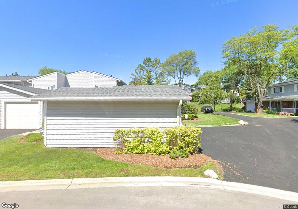
522 Queens Ct Schaumburg, IL 60193
East Schaumburg NeighborhoodEstimated Value: $256,156 - $329,000
2
Beds
1
Bath
979
Sq Ft
$299/Sq Ft
Est. Value
About This Home
This home is located at 522 Queens Ct, Schaumburg, IL 60193 and is currently estimated at $292,539, approximately $298 per square foot. 522 Queens Ct is a home located in Cook County with nearby schools including Michael Collins Elementary School, Robert Frost Junior High School, and J B Conant High School.
Ownership History
Date
Name
Owned For
Owner Type
Purchase Details
Closed on
Apr 20, 2011
Sold by
Gass Douglas and Gass Bonnie K
Bought by
Gass Bonnie K
Current Estimated Value
Home Financials for this Owner
Home Financials are based on the most recent Mortgage that was taken out on this home.
Original Mortgage
$140,435
Outstanding Balance
$96,109
Interest Rate
4.86%
Mortgage Type
New Conventional
Estimated Equity
$196,430
Purchase Details
Closed on
Jun 27, 1997
Sold by
Nelson Sherry Ann
Bought by
Gass Douglas P and Gass Bonnie K
Home Financials for this Owner
Home Financials are based on the most recent Mortgage that was taken out on this home.
Original Mortgage
$116,790
Interest Rate
8%
Mortgage Type
VA
Create a Home Valuation Report for This Property
The Home Valuation Report is an in-depth analysis detailing your home's value as well as a comparison with similar homes in the area
Home Values in the Area
Average Home Value in this Area
Purchase History
| Date | Buyer | Sale Price | Title Company |
|---|---|---|---|
| Gass Bonnie K | -- | Citywide Title Corporation | |
| Gass Douglas P | $114,500 | -- |
Source: Public Records
Mortgage History
| Date | Status | Borrower | Loan Amount |
|---|---|---|---|
| Open | Gass Bonnie K | $140,435 | |
| Closed | Gass Douglas P | $116,790 |
Source: Public Records
Tax History
| Year | Tax Paid | Tax Assessment Tax Assessment Total Assessment is a certain percentage of the fair market value that is determined by local assessors to be the total taxable value of land and additions on the property. | Land | Improvement |
|---|---|---|---|---|
| 2025 | $2,353 | $25,000 | $6,066 | $18,934 |
| 2024 | $2,353 | $24,000 | $4,000 | $20,000 |
| 2023 | $2,354 | $24,000 | $4,000 | $20,000 |
| 2022 | $2,354 | $24,000 | $4,000 | $20,000 |
| 2021 | $2,557 | $18,267 | $2,179 | $16,088 |
| 2020 | $2,341 | $18,267 | $2,179 | $16,088 |
| 2019 | $2,329 | $20,297 | $2,179 | $18,118 |
| 2018 | $2,612 | $16,892 | $1,800 | $15,092 |
| 2017 | $2,526 | $16,892 | $1,800 | $15,092 |
| 2016 | $3,088 | $16,892 | $1,800 | $15,092 |
| 2015 | $3,513 | $16,278 | $1,516 | $14,762 |
| 2014 | $3,514 | $16,278 | $1,516 | $14,762 |
| 2013 | $3,393 | $16,278 | $1,516 | $14,762 |
Source: Public Records
Map
Nearby Homes
- 98 Wiltshire Ct
- 609 Deborah Ct
- 168 Farmgate Dr
- 605 Limerick Ln Unit 2B
- 712 Tipperary Ct Unit 1C
- 552 Stone Gate Cir
- 614 Tralee Ct Unit 2-C
- 614 Tralee Ct Unit 2D
- 733 Limerick Ln Unit 7333D
- 108 Mullingar Ct Unit 2D
- 112 Mullingar Ct Unit 1C
- 631 Derry Ct Unit 1B
- 631 Derry Ct Unit 3C
- 631 Derry Ct Unit 2C
- 717 Killarney Ct Unit 2D
- 635 Limerick Ln Unit 2B
- 701 Limerick Ln Unit 3B
- 220 S Roselle Rd Unit 224
- 25 Superior Ct Unit L2
- 725 Limerick Ln Unit 2D
- 524 Queens Ct
- 526 Queens Ct
- 530 Queens Ct
- 118 Queens Ct
- 120 Queens Ct
- 116 Queens Ct
- 532 Queens Ct
- 122 Queens Ct
- 525 Wiltshire Ct
- 124 Queens Ct
- 527 Wiltshire Ct
- 517 Wiltshire Ct
- 116 Wiltshire Ct
- 521 Wiltshire Ct Unit 1
- 519 Wiltshire Ct
- 126 Queens Ct
- 108 Wiltshire Ct Unit 1
- 517 Queens Ct
- 517 Queens Ct Unit 1-S
Your Personal Tour Guide
Ask me questions while you tour the home.