522 Rockets St Unit 132 Galloway, OH 43119
Estimated Value: $247,650 - $261,000
3
Beds
3
Baths
1,356
Sq Ft
$187/Sq Ft
Est. Value
About This Home
This home is located at 522 Rockets St Unit 132, Galloway, OH 43119 and is currently estimated at $253,663, approximately $187 per square foot. 522 Rockets St Unit 132 is a home located in Franklin County with nearby schools including Georgian Heights Alt Elementary School, Wedgewood Middle School, and Briggs High School.
Ownership History
Date
Name
Owned For
Owner Type
Purchase Details
Closed on
Nov 2, 2004
Sold by
Dominion Homes Inc
Bought by
Ash Stacey L
Current Estimated Value
Home Financials for this Owner
Home Financials are based on the most recent Mortgage that was taken out on this home.
Original Mortgage
$132,672
Outstanding Balance
$64,494
Interest Rate
5.81%
Mortgage Type
FHA
Estimated Equity
$189,169
Create a Home Valuation Report for This Property
The Home Valuation Report is an in-depth analysis detailing your home's value as well as a comparison with similar homes in the area
Home Values in the Area
Average Home Value in this Area
Purchase History
| Date | Buyer | Sale Price | Title Company |
|---|---|---|---|
| Ash Stacey L | $135,800 | Alliance Ti |
Source: Public Records
Mortgage History
| Date | Status | Borrower | Loan Amount |
|---|---|---|---|
| Open | Ash Stacey L | $132,672 |
Source: Public Records
Tax History
| Year | Tax Paid | Tax Assessment Tax Assessment Total Assessment is a certain percentage of the fair market value that is determined by local assessors to be the total taxable value of land and additions on the property. | Land | Improvement |
|---|---|---|---|---|
| 2025 | $3,168 | $70,600 | $14,000 | $56,600 |
| 2024 | $3,168 | $70,600 | $14,000 | $56,600 |
| 2023 | $3,128 | $70,595 | $14,000 | $56,595 |
| 2022 | $2,231 | $43,020 | $6,580 | $36,440 |
| 2021 | $2,235 | $43,020 | $6,580 | $36,440 |
| 2020 | $2,238 | $43,020 | $6,580 | $36,440 |
| 2019 | $2,087 | $34,410 | $5,250 | $29,160 |
| 2018 | $1,993 | $34,410 | $5,250 | $29,160 |
| 2017 | $2,091 | $34,410 | $5,250 | $29,160 |
| 2016 | $2,096 | $31,640 | $5,390 | $26,250 |
| 2015 | $1,903 | $31,640 | $5,390 | $26,250 |
| 2014 | $1,907 | $31,640 | $5,390 | $26,250 |
| 2013 | $1,106 | $37,205 | $6,335 | $30,870 |
Source: Public Records
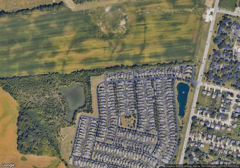
Map
Nearby Homes
- 623 Rockets St Unit 145
- 628 Penn St Unit 67
- 6173 Streaming Ave Unit 192
- 623 Perilous Place Unit 13
- 664 Penn St Unit 73
- 683 Perilous Place Unit 3
- 695 Perilous Place Unit 1
- 361 Cloverhill Dr
- 5978 Carrbridge Ct
- 320 Rye St Unit Lot 51
- 325 Rye St Unit Lot 123
- 326 Fortune Dr Unit Lot 140
- 296 Rye St Unit Lot 48
- 310 Fortune Dr Unit Lot 142
- 6200 Trefoil St Unit Lot 109
- 294 Fortune Dr Unit Lot 144
- 313 Fortune Dr Unit Lot 110
- 286 Fortune Dr Unit Lot 145
- 289 Fortune Dr Unit Lot 113
- 5757 Silver Spurs Ln
- 528 Rockets St Unit 133
- 534 Rockets St Unit 134
- 6232 Early Light Dr Unit 127
- 6226 Early Light Dr Unit 126
- 540 Rockets St Unit 135
- 6238 Early Light Dr Unit 128
- 523 Star Spangled Place Unit 122
- 529 Star Spangled Place Unit 121
- 521 Rockets St Unit 16
- 521 Rockets St Unit 162
- 6244 Early Light Dr Unit 129
- 6220 Early Light Dr Unit 125
- 533 Rockets St Unit 160
- 546 Rockets St Unit 136
- 535 Star Spangled Place Unit 120
- 6250 Early Light Dr Unit 130
- 539 Rockets St Unit 159
- 6214 Early Light Dr Unit 124
- 527 Rockets St Unit 161
- 541 Star Spangled Place Unit 119
Your Personal Tour Guide
Ask me questions while you tour the home.