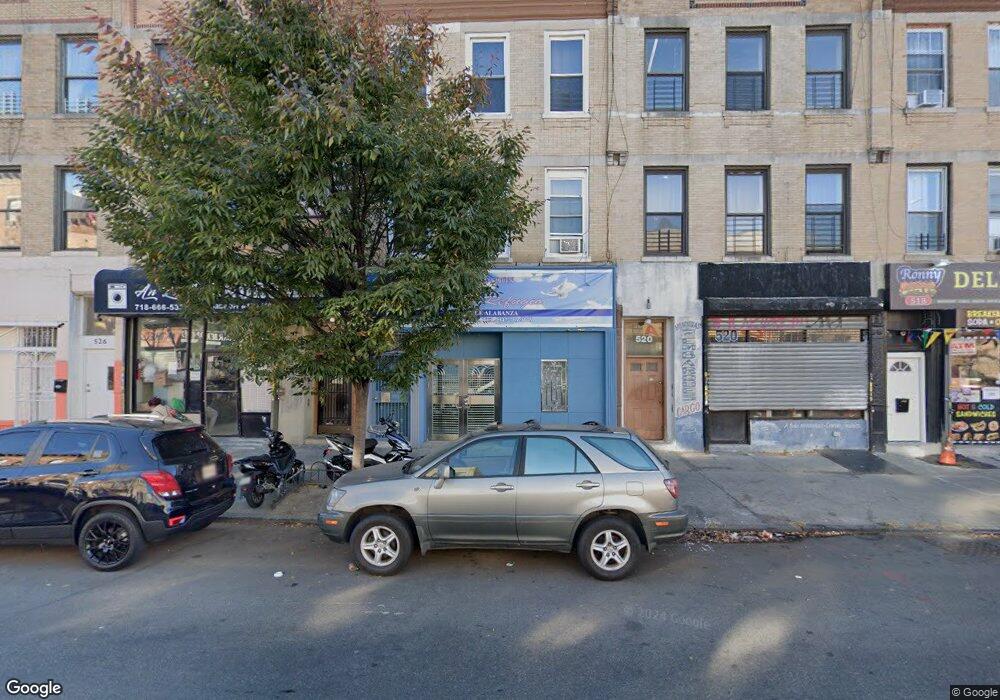
522 Sutter Ave Brooklyn, NY 11207
Brownsville Neighborhood
Studio
--
Bath
4,707
Sq Ft
2,004
Sq Ft Lot
About This Home
This home is located at 522 Sutter Ave, Brooklyn, NY 11207. 522 Sutter Ave is a home located in Kings County with nearby schools including P.S. 328 - Phyllis Wheatley, J.H.S 292 Margaret S. Douglas, and Brownsville Collegiate Charter School.
Ownership History
Date
Name
Owned For
Owner Type
Purchase Details
Closed on
Dec 16, 1999
Sold by
Robles Emilio
Bought by
Agramonte Rosa
Home Financials for this Owner
Home Financials are based on the most recent Mortgage that was taken out on this home.
Original Mortgage
$84,280
Interest Rate
8.26%
Mortgage Type
Commercial
Purchase Details
Closed on
Sep 19, 1997
Sold by
Los Robles Travel Service Inc
Bought by
Robles Emilio
Create a Home Valuation Report for This Property
The Home Valuation Report is an in-depth analysis detailing your home's value as well as a comparison with similar homes in the area
Home Values in the Area
Average Home Value in this Area
Purchase History
| Date | Buyer | Sale Price | Title Company |
|---|---|---|---|
| Agramonte Rosa | $120,500 | -- | |
| Agramonte Rosa | -- | -- | |
| Robles Emilio | $10,000 | Commonwealth Land Title Ins | |
| Robles Emilio | $10,000 | Commonwealth Land Title Ins |
Source: Public Records
Mortgage History
| Date | Status | Borrower | Loan Amount |
|---|---|---|---|
| Previous Owner | Agramonte Rosa | $84,280 |
Source: Public Records
Tax History
| Year | Tax Paid | Tax Assessment Tax Assessment Total Assessment is a certain percentage of the fair market value that is determined by local assessors to be the total taxable value of land and additions on the property. | Land | Improvement |
|---|---|---|---|---|
| 2025 | $4,655 | $368,100 | $63,450 | $304,650 |
| 2024 | $4,655 | $345,150 | $63,450 | $281,700 |
| 2023 | $4,527 | $41,700 | $8,460 | $33,240 |
| 2022 | $4,398 | $44,160 | $8,460 | $35,700 |
| 2021 | $4,533 | $40,320 | $8,460 | $31,860 |
| 2019 | $4,119 | $36,060 | $8,460 | $27,600 |
| 2018 | $3,787 | $18,576 | $5,228 | $13,348 |
| 2017 | $3,743 | $18,360 | $5,543 | $12,817 |
| 2016 | $3,588 | $17,949 | $6,506 | $11,443 |
| 2015 | $2,089 | $16,934 | $7,369 | $9,565 |
| 2014 | $2,089 | $16,408 | $7,463 | $8,945 |
Source: Public Records
Map
Nearby Homes
- 472 Sutter Ave
- 317 Pennsylvania Ave
- 440 Blake Ave
- 353 Pennsylvania Ave
- 392 New Jersey Ave Unit 3921
- 444 New Jersey Ave
- 439 Vermont St
- 342 Wyona St
- 105 Belmont Ave
- 504 Vermont St
- 45 Hinsdale St
- 239 New Jersey Ave
- 412 Bradford St
- 1782 Pitkin Ave
- 525 Alabama Ave
- 243 Wyona St
- 200 New Jersey Ave
- 440 Miller Ave
- 117 Osborn St
- 443 Miller Ave
- 524 Sutter Ave
- 524 Sutter St
- 526 Sutter Ave
- 528 Sutter Ave
- 520 Sutter Ave
- 530 Sutter Ave
- 518 Sutter Ave
- 277 Hinsdale St
- 516 Sutter Ave
- 532 Sutter Ave
- 534 Sutter Ave
- 279 Hinsdale St
- 281 Hinsdale St
- 285 Hinsdale St
- 533 Sutter Ave Unit Store
- 533 Sutter Ave
- 533 Sutter Ave Unit 5
- 287 Hinsdale St
- 289 Hinsdale St
- 535 Sutter Ave Unit 5
Your Personal Tour Guide
Ask me questions while you tour the home.