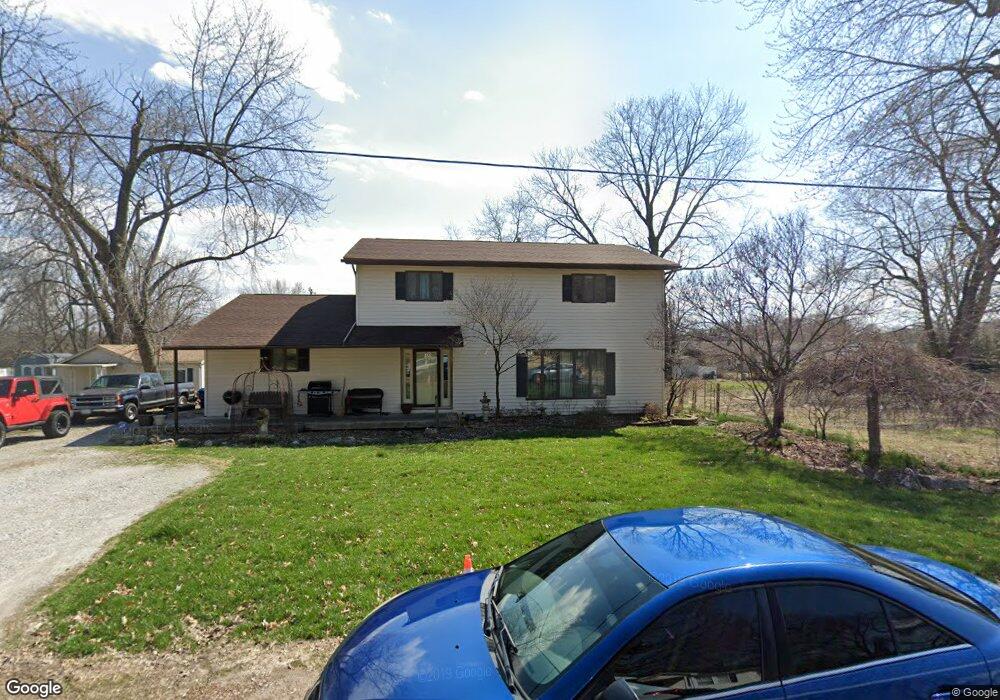
522 Woodland Ave Wood River, IL 62095
Estimated Value: $183,055 - $223,000
5
Beds
2
Baths
1,110
Sq Ft
$182/Sq Ft
Est. Value
About This Home
This home is located at 522 Woodland Ave, Wood River, IL 62095 and is currently estimated at $202,264, approximately $182 per square foot. 522 Woodland Ave is a home located in Madison County with nearby schools including Eastwood Elementary School, East Alton Middle School, and East Alton-Wood River High School.
Ownership History
Date
Name
Owned For
Owner Type
Purchase Details
Closed on
Oct 22, 2003
Sold by
Crump Allen E
Bought by
Brewer Christopher R and Brewer Serena R
Current Estimated Value
Home Financials for this Owner
Home Financials are based on the most recent Mortgage that was taken out on this home.
Original Mortgage
$112,000
Outstanding Balance
$52,338
Interest Rate
6.23%
Mortgage Type
Purchase Money Mortgage
Estimated Equity
$149,926
Create a Home Valuation Report for This Property
The Home Valuation Report is an in-depth analysis detailing your home's value as well as a comparison with similar homes in the area
Home Values in the Area
Average Home Value in this Area
Purchase History
| Date | Buyer | Sale Price | Title Company |
|---|---|---|---|
| Brewer Christopher R | $140,000 | Serenity Title & Escrow Ltd |
Source: Public Records
Mortgage History
| Date | Status | Borrower | Loan Amount |
|---|---|---|---|
| Open | Brewer Christopher R | $112,000 |
Source: Public Records
Tax History Compared to Growth
Tax History
| Year | Tax Paid | Tax Assessment Tax Assessment Total Assessment is a certain percentage of the fair market value that is determined by local assessors to be the total taxable value of land and additions on the property. | Land | Improvement |
|---|---|---|---|---|
| 2024 | $5,659 | $66,460 | $3,730 | $62,730 |
| 2023 | $5,659 | $61,960 | $3,480 | $58,480 |
| 2022 | $5,313 | $57,180 | $3,210 | $53,970 |
| 2021 | $4,924 | $53,290 | $2,990 | $50,300 |
| 2020 | $4,933 | $52,680 | $2,880 | $49,800 |
| 2019 | $4,806 | $51,110 | $2,790 | $48,320 |
| 2018 | $4,685 | $48,570 | $2,650 | $45,920 |
| 2017 | $4,492 | $47,410 | $2,590 | $44,820 |
| 2016 | $4,507 | $47,410 | $2,590 | $44,820 |
| 2015 | $4,486 | $46,910 | $2,560 | $44,350 |
| 2014 | $4,486 | $46,910 | $2,560 | $44,350 |
| 2013 | $4,486 | $47,590 | $2,600 | $44,990 |
Source: Public Records
Map
Nearby Homes
- 345 Illinois Ave
- 283 Hi Pointe Place
- 523 Wilson Ave
- 959 Cedar Dr
- 250 Hi Pointe Place
- 211 S 9th St
- 144 S 9th St
- 141 S 9th St
- 782 Berry Rd
- 104 Whitelaw Ave
- 121 Whitelaw Ave
- 98 Wood River Ave
- 641 Leslie Ave
- 565 5th St
- 830 N Wood River Ave
- 537 Tipton Ave
- 529 5th St
- 604 Wood River Ave
- 777 Condit St
- 527 Metzger Ave
- 536 Woodland Ave
- 510 Woodland Ave
- 1240 N 6th St
- 509 Illinois Ave
- 454 Woodland Ave
- 521 Woodland Ave
- 551 Woodland Ave
- 392 N 6th St
- 501 Woodland Ave
- 1239 N 6th St
- 441 Woodland Ave
- 550 Illinois St
- 442 Woodland Ave
- 442 Woodland Ave
- 500 Illinois Ave
- 560 Illinois Ave
- 500 Summit St
- 450 Illinois Ave
- 431 Woodland Ave
- 431 Woodland Ave