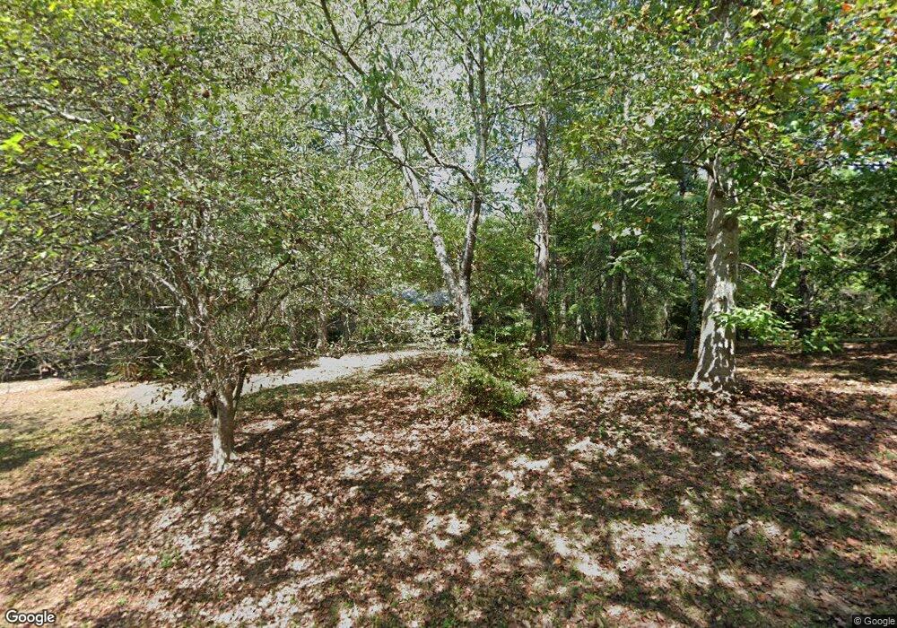
5220 Blunschi Dr Unit 5 Powder Springs, GA 30127
Estimated Value: $294,000 - $307,000
3
Beds
2
Baths
1,748
Sq Ft
$172/Sq Ft
Est. Value
About This Home
This home is located at 5220 Blunschi Dr Unit 5, Powder Springs, GA 30127 and is currently estimated at $301,346, approximately $172 per square foot. 5220 Blunschi Dr Unit 5 is a home located in Cobb County with nearby schools including Powder Springs Elementary School, Cooper Middle School, and McEachern High School.
Ownership History
Date
Name
Owned For
Owner Type
Purchase Details
Closed on
Jul 7, 1998
Sold by
Jacobs John T
Bought by
Pruitt Clayton R
Current Estimated Value
Home Financials for this Owner
Home Financials are based on the most recent Mortgage that was taken out on this home.
Original Mortgage
$118,300
Outstanding Balance
$24,294
Interest Rate
7.04%
Mortgage Type
FHA
Estimated Equity
$277,052
Create a Home Valuation Report for This Property
The Home Valuation Report is an in-depth analysis detailing your home's value as well as a comparison with similar homes in the area
Home Values in the Area
Average Home Value in this Area
Purchase History
| Date | Buyer | Sale Price | Title Company |
|---|---|---|---|
| Pruitt Clayton R | $121,300 | -- |
Source: Public Records
Mortgage History
| Date | Status | Borrower | Loan Amount |
|---|---|---|---|
| Open | Pruitt Clayton R | $118,300 |
Source: Public Records
Tax History Compared to Growth
Tax History
| Year | Tax Paid | Tax Assessment Tax Assessment Total Assessment is a certain percentage of the fair market value that is determined by local assessors to be the total taxable value of land and additions on the property. | Land | Improvement |
|---|---|---|---|---|
| 2024 | $580 | $82,768 | $18,000 | $64,768 |
| 2023 | $374 | $82,768 | $18,000 | $64,768 |
| 2022 | $580 | $82,768 | $18,000 | $64,768 |
| 2021 | $526 | $64,656 | $14,000 | $50,656 |
| 2020 | $526 | $64,656 | $14,000 | $50,656 |
| 2019 | $526 | $64,656 | $14,000 | $50,656 |
| 2018 | $526 | $64,656 | $14,000 | $50,656 |
| 2017 | $359 | $43,344 | $10,000 | $33,344 |
| 2016 | $360 | $43,344 | $10,000 | $33,344 |
| 2015 | $384 | $43,344 | $10,000 | $33,344 |
| 2014 | $395 | $43,344 | $0 | $0 |
Source: Public Records
Map
Nearby Homes
- 4585 Muirwood Cir
- 0 Cherry Ln Unit 10590910
- 0 Cherry Ln Unit 7617854
- 4726 Brownsville Rd
- 4801 Brownsville Rd
- 4914 Howard Dr
- 5670 Lanny Dr
- 5050 Brownwood Dr
- 4350 Defoors Farm Trail
- 4760 Oglesby Rd
- 4570 Meadows Rd
- 5780 Hill Rd
- 5455 Stirrup Way
- 5554 Racetrack Ct
- 4772 Lewis Rd
- 5076 Furlong Way
- 4758 Saddleridge Rd
- 4036 Saint George Walk SW
- 3909 Brianna Dr
- 5214 Blunschi Dr
- 5340 Muirwood Place
- 5342 Muirwood Place
- 5338 Muirwood Place
- 5344 Muirwood Place
- 5191 Blunschi Dr Unit 4
- 5336 Muirwood Place
- 5346 Muirwood Place
- 5172 Blunschi Dr
- 0 Muirwood Place Unit 8411597
- 0 Muirwood Place Unit 8364206
- 0 Muirwood Place Unit 8349517
- 0 Muirwood Place Unit 8344565
- 0 Muirwood Place Unit 8217093
- 0 Muirwood Place Unit 8191043
- 0 Muirwood Place Unit 7417297
- 0 Muirwood Place Unit 7160219
- 0 Muirwood Place Unit 7586073
- 0 Muirwood Place Unit 7574630
- 0 Muirwood Place Unit 7379205
