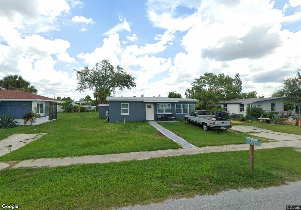
5220 Bullard St North Port, FL 34287
Estimated Value: $161,792 - $188,000
2
Beds
1
Bath
768
Sq Ft
$227/Sq Ft
Est. Value
About This Home
This home is located at 5220 Bullard St, North Port, FL 34287 and is currently estimated at $174,698, approximately $227 per square foot. 5220 Bullard St is a home located in Sarasota County with nearby schools including Glenallen Elementary School, North Port High School, and Heron Creek Middle School.
Ownership History
Date
Name
Owned For
Owner Type
Purchase Details
Closed on
Sep 14, 2010
Sold by
Portfolio Trust Llc
Bought by
Smith Jonathan A and Smith Cynthia S
Current Estimated Value
Purchase Details
Closed on
Sep 8, 2010
Sold by
Kocis Louise
Bought by
Portfolio Trust Llc
Purchase Details
Closed on
Feb 14, 1994
Sold by
Mcmahon Julianne and Mcmahon John A
Bought by
Mcmahon Julianne
Purchase Details
Closed on
Aug 20, 1993
Sold by
Mcmahon Julianne and Mcmahon Julia Anne
Bought by
Mcmahon Julianne and Mcmahon John A
Create a Home Valuation Report for This Property
The Home Valuation Report is an in-depth analysis detailing your home's value as well as a comparison with similar homes in the area
Home Values in the Area
Average Home Value in this Area
Purchase History
| Date | Buyer | Sale Price | Title Company |
|---|---|---|---|
| Smith Jonathan A | $26,000 | Attorney | |
| Portfolio Trust Llc | $20,000 | Attorney | |
| Mcmahon Julianne | -- | -- | |
| Mcmahon Julianne | -- | -- |
Source: Public Records
Tax History Compared to Growth
Tax History
| Year | Tax Paid | Tax Assessment Tax Assessment Total Assessment is a certain percentage of the fair market value that is determined by local assessors to be the total taxable value of land and additions on the property. | Land | Improvement |
|---|---|---|---|---|
| 2024 | $1,731 | $61,672 | -- | -- |
| 2023 | $1,731 | $96,100 | $31,700 | $64,400 |
| 2022 | $1,597 | $94,800 | $29,600 | $65,200 |
| 2021 | $1,397 | $63,900 | $14,600 | $49,300 |
| 2020 | $1,341 | $59,800 | $13,700 | $46,100 |
| 2019 | $1,188 | $44,200 | $11,400 | $32,800 |
| 2018 | $1,123 | $50,400 | $11,100 | $39,300 |
| 2017 | $1,013 | $28,023 | $0 | $0 |
| 2016 | $957 | $31,900 | $3,900 | $28,000 |
| 2015 | $899 | $24,900 | $3,500 | $21,400 |
| 2014 | $853 | $19,140 | $0 | $0 |
Source: Public Records
Map
Nearby Homes
- 5289 La Copa St
- 5280 Grobe St
- 8725 Aero Ave
- 8772 Herbison Ave
- 8782 Fay Ave
- 205 Granada Blvd
- 8858 Fay Ave
- 8361 Shumock Ave
- 12302 Tangier St
- 8940 Pickwick Rd
- 12322 Alta Mira St
- 8701 Pickwick Rd
- 4743 Chicopa St
- 120 Granada Blvd
- 4733 Grobe St
- 121 Granada Blvd
- 8961 Abbey Ct
- 0 Londel Ave Unit MFRN6140055
- 0 Vespucius St Unit MFRC7512656
- 0 de Miranda Ave Unit MFRN6138795
- 5220 Street
- 5190 Bullard St
- 5250 Bullard St
- 5225 La Copa St
- 5193 La Copa St
- 5257 La Copa St
- 5160 Bullard St
- 5280 Bullard St
- 5205 Bullard St
- 5161 La Copa St
- 5233 Bullard St
- 5177 Bullard St
- 5130 Bullard St
- 5261 Bullard St
- 5149 Bullard St
- 5129 La Copa St
- 5121 Bullard St
- 8689 Bumford Ave
- 5289 Bullard St
- 8690 Bumford Ave