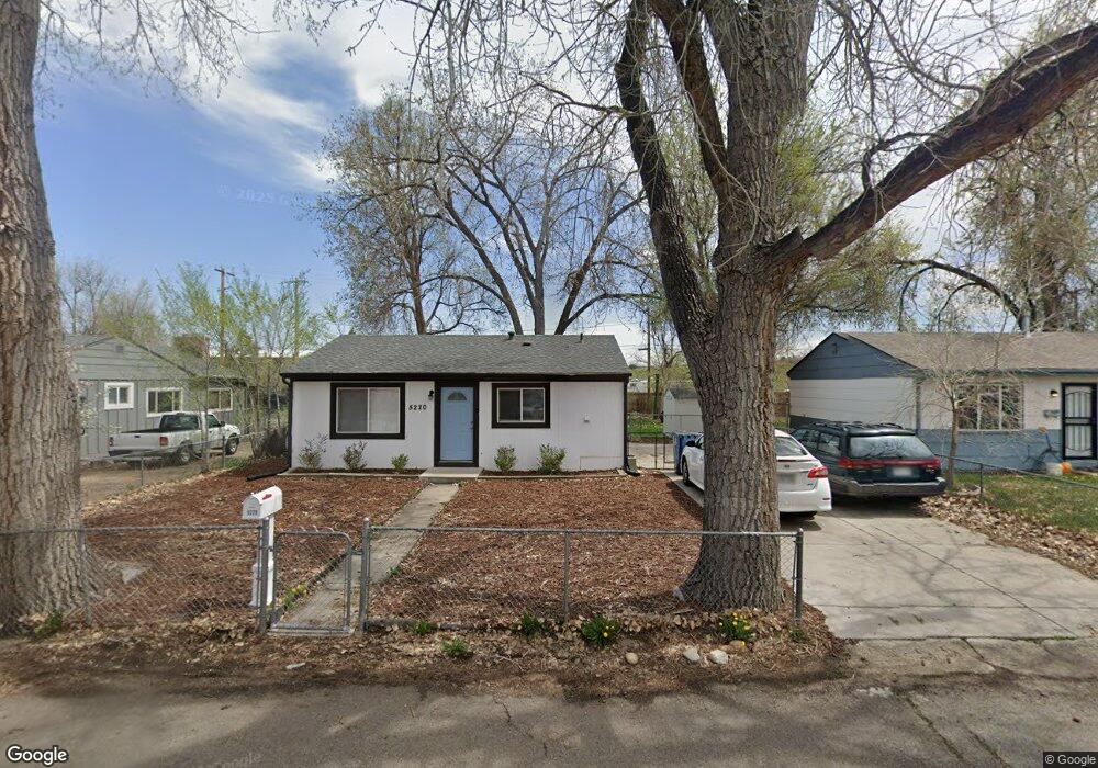
5220 Ingalls St Arvada, CO 80002
Estimated Value: $357,000 - $417,000
3
Beds
1
Bath
720
Sq Ft
$529/Sq Ft
Est. Value
About This Home
This home is located at 5220 Ingalls St, Arvada, CO 80002 and is currently estimated at $380,827, approximately $528 per square foot. 5220 Ingalls St is a home located in Jefferson County with nearby schools including Swanson Elementary School, North Arvada Middle School, and Arvada High School.
Ownership History
Date
Name
Owned For
Owner Type
Purchase Details
Closed on
Jan 23, 2015
Sold by
Ross Carl L and Ross Rosanna O
Bought by
Futura Properties Llc
Current Estimated Value
Purchase Details
Closed on
May 10, 2013
Sold by
Christian A Patricia
Bought by
Ross Carl L and Ross Rosanna O
Home Financials for this Owner
Home Financials are based on the most recent Mortgage that was taken out on this home.
Original Mortgage
$95,000
Interest Rate
3.56%
Mortgage Type
New Conventional
Create a Home Valuation Report for This Property
The Home Valuation Report is an in-depth analysis detailing your home's value as well as a comparison with similar homes in the area
Purchase History
| Date | Buyer | Sale Price | Title Company |
|---|---|---|---|
| Futura Properties Llc | -- | None Available | |
| Ross Carl L | $128,100 | Fidelity National Title Ins |
Source: Public Records
Mortgage History
| Date | Status | Borrower | Loan Amount |
|---|---|---|---|
| Previous Owner | Ross Carl L | $95,000 |
Source: Public Records
Tax History
| Year | Tax Paid | Tax Assessment Tax Assessment Total Assessment is a certain percentage of the fair market value that is determined by local assessors to be the total taxable value of land and additions on the property. | Land | Improvement |
|---|---|---|---|---|
| 2024 | $2,137 | $21,836 | $11,236 | $10,600 |
| 2023 | $2,137 | $21,836 | $11,236 | $10,600 |
| 2022 | $1,915 | $19,405 | $8,771 | $10,634 |
| 2021 | $1,938 | $19,963 | $9,023 | $10,940 |
| 2020 | $1,710 | $17,603 | $7,809 | $9,794 |
| 2019 | $1,685 | $17,603 | $7,809 | $9,794 |
| 2018 | $1,350 | $13,660 | $5,442 | $8,218 |
| 2017 | $1,234 | $13,660 | $5,442 | $8,218 |
| 2016 | $1,114 | $11,563 | $4,861 | $6,702 |
| 2015 | $901 | $11,563 | $4,861 | $6,702 |
| 2014 | $901 | $8,758 | $4,165 | $4,593 |
Source: Public Records
Map
Nearby Homes
- 5790 W 51st Ave
- 5130 Depew Ct
- 6105 W 49th Place
- 4963 Harlan St
- 4925 Gray St
- 5250 W 53rd Ave Unit 125
- 5250 W 53rd Ave Unit 73
- 5250 W 53rd Ave Unit 129
- 5250 W 53rd Ave Unit 116
- 5305 Sheridan Blvd Unit 20
- 4300 N Ingalls St
- 6865 W 55th Place
- 6940 W 55th Place
- 4877 Chase St
- 6910 Reno Dr
- 4831 Depew St
- 5465 Reed Ct
- 6427 Grandview Ave Unit A & B
- 5423 Saulsbury Ct
- 6811 W 48th Ave
- 5210 Ingalls St
- 5230 Ingalls St
- 5240 Ingalls St
- 5200 Ingalls St
- 5225 Ingalls St
- 6061 W 52nd Ave
- 5250 Ingalls St
- 5235 Ingalls St
- 5245 Ingalls St
- 6101 W 52nd Ave
- 5260 Ingalls St
- 5255 Ingalls St
- 5270 Ingalls St
- 5265 Ingalls St
- 6175 W 52nd Ave
- 5275 Ingalls St
- 5280 Ingalls St
- 5285 Ingalls St
- 6103 W 53rd Ave
- 6151 W 53rd Ave
Your Personal Tour Guide
Ask me questions while you tour the home.