5220 Pennington Ave Baltimore, MD 21226
Curtis Bay NeighborhoodEstimated Value: $3,464,850
--
Bed
--
Bath
35,595
Sq Ft
$97/Sq Ft
Est. Value
About This Home
This home is located at 5220 Pennington Ave, Baltimore, MD 21226 and is currently estimated at $3,464,850, approximately $97 per square foot. 5220 Pennington Ave is a home located in Baltimore City with nearby schools including Curtis Bay Elementary School, Booker T. Washington Middle School, and Benjamin Franklin High School.
Ownership History
Date
Name
Owned For
Owner Type
Purchase Details
Closed on
Aug 4, 2005
Sold by
Vrettakos Peter P
Bought by
5220 Pennington Ave Llc
Current Estimated Value
Purchase Details
Closed on
Jul 18, 2005
Sold by
Vrettakos Peter P
Bought by
5220 Pennington Ave Llc
Purchase Details
Closed on
Jan 7, 1998
Sold by
Omni Properties Ltd
Bought by
Vrettakos Peter P and Vrettakos Michael J
Create a Home Valuation Report for This Property
The Home Valuation Report is an in-depth analysis detailing your home's value as well as a comparison with similar homes in the area
Home Values in the Area
Average Home Value in this Area
Purchase History
| Date | Buyer | Sale Price | Title Company |
|---|---|---|---|
| 5220 Pennington Ave Llc | $1,325,000 | -- | |
| 5220 Pennington Ave Llc | $1,325,000 | -- | |
| Vrettakos Peter P | $700,000 | -- |
Source: Public Records
Tax History Compared to Growth
Tax History
| Year | Tax Paid | Tax Assessment Tax Assessment Total Assessment is a certain percentage of the fair market value that is determined by local assessors to be the total taxable value of land and additions on the property. | Land | Improvement |
|---|---|---|---|---|
| 2025 | $32,869 | $1,408,267 | -- | -- |
| 2024 | $32,869 | $1,399,433 | $0 | $0 |
| 2023 | $32,818 | $1,390,600 | $497,800 | $892,800 |
| 2022 | $32,784 | $1,389,167 | $0 | $0 |
| 2021 | $32,751 | $1,387,733 | $0 | $0 |
| 2020 | $32,717 | $1,386,300 | $338,500 | $1,047,800 |
| 2019 | $31,387 | $1,336,333 | $0 | $0 |
| 2018 | $30,358 | $1,286,367 | $0 | $0 |
| 2017 | $29,179 | $1,236,400 | $0 | $0 |
| 2016 | $31,603 | $1,236,167 | $0 | $0 |
| 2015 | $31,603 | $1,235,933 | $0 | $0 |
| 2014 | $31,603 | $1,235,700 | $0 | $0 |
Source: Public Records
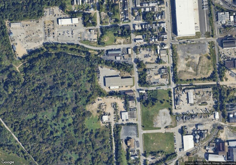
Map
Nearby Homes
- 1607 Cereal St
- 1501 Church St
- 4718 Curtis Ave
- 1602 Cypress St
- 4613 Pennington Ave
- 1503 Elmtree St
- 4529 Pennington Ave
- 4525 Pennington Ave
- 4523 Pennington Ave
- 1509 Filbert St
- 1607 Filbert St
- 4415 Fairhaven Ave
- 1626 Hazel St
- 4222 Grace Ct
- 4211 Grace Ct
- 4206 Grace Ct
- 4203 Morrison Ct
- 4116 Morrison Ct
- 4030 Pennington Ave
- 4018 Pennington Ave
- 1501 Aspen St
- 5300 Pennington Ave
- 1525 Benhill Ave
- 5110 Pennington Ave
- 5217 Pennington Ave
- 5301 Pennington Ave
- 5109 Pennington Ave
- 1510 Aspen St
- 5101 Pennington Ave
- 1500 Aspen St
- 5022 Pennington Ave
- 1520 Aspen St
- 1602 Blossom St
- 1500 Benhill Ave
- 5021 Pennington Ave
- 1521 Ceddox St
- 1615 Benhill Ave
- 1606 Benhill Ave
- 5004 Pennington Ave
- 5200 Curtis Ave