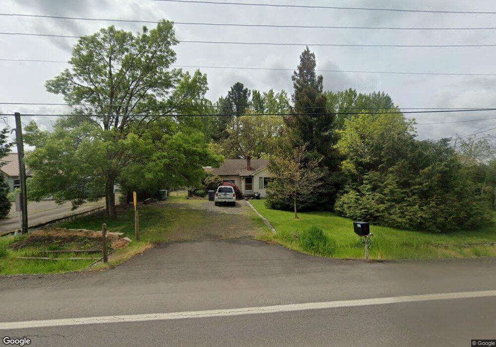
5220 SW West Hills Rd Corvallis, OR 97333
Southwest Corvallis NeighborhoodEstimated Value: $443,000 - $519,000
3
Beds
3
Baths
1,444
Sq Ft
$340/Sq Ft
Est. Value
About This Home
This home is located at 5220 SW West Hills Rd, Corvallis, OR 97333 and is currently estimated at $491,634, approximately $340 per square foot. 5220 SW West Hills Rd is a home located in Benton County with nearby schools including Adams Elementary School, Linus Pauling Middle School, and Corvallis High School.
Ownership History
Date
Name
Owned For
Owner Type
Purchase Details
Closed on
Mar 30, 2005
Sold by
Johnson Linda C and Johnson Jimmie D
Bought by
Johnson Jimmie D and Johnson Linda C
Current Estimated Value
Create a Home Valuation Report for This Property
The Home Valuation Report is an in-depth analysis detailing your home's value as well as a comparison with similar homes in the area
Home Values in the Area
Average Home Value in this Area
Purchase History
| Date | Buyer | Sale Price | Title Company |
|---|---|---|---|
| Johnson Jimmie D | -- | None Available |
Source: Public Records
Tax History Compared to Growth
Tax History
| Year | Tax Paid | Tax Assessment Tax Assessment Total Assessment is a certain percentage of the fair market value that is determined by local assessors to be the total taxable value of land and additions on the property. | Land | Improvement |
|---|---|---|---|---|
| 2025 | $3,969 | $212,793 | -- | -- |
| 2024 | $3,969 | $206,595 | -- | -- |
| 2023 | $3,737 | $200,578 | $0 | $0 |
| 2022 | $3,740 | $194,736 | $0 | $0 |
| 2021 | $3,616 | $189,064 | $0 | $0 |
| 2020 | $3,489 | $183,557 | $0 | $0 |
| 2019 | $3,215 | $178,211 | $0 | $0 |
| 2018 | $3,232 | $173,020 | $0 | $0 |
| 2017 | $2,990 | $167,981 | $0 | $0 |
| 2016 | $2,978 | $163,088 | $0 | $0 |
| 2015 | $2,902 | $158,338 | $0 | $0 |
| 2014 | $2,824 | $153,726 | $0 | $0 |
| 2012 | -- | $144,902 | $0 | $0 |
Source: Public Records
Map
Nearby Homes
- 1045 SW 53rd St
- Parcel #142681 SW Gerold St
- 0 SW Gerold St
- 1050 SW Timian St
- 1124 SW Sylvia St
- 1140 SW Sylvia St
- 1123 SW Sylvia St
- 5318 SW Touchstone Place
- 615 SW 56th St
- 6034 SW Grand Oaks Dr
- 5961 SW Balsam Dr
- 5935 SW Philomath Bl
- 5636 SW Avena Place
- 6237 SW Grand Oaks Dr
- 4149 SW Research Way
- 6613 SW West Hills Rd
- 4651 SW 47th Place
- 4900 SW Hollyhock Cir
- 5300 SW Whitby Ave
- 4942 SW Hollyhock Cir
- 5240 SW West Hills Rd
- 5140 SW West Hills Rd
- 5160 SW West Hills Rd
- 5120 SW West Hills Rd
- 5260 SW West Hills Rd
- 1015 SW 53rd St
- 5280 SW West Hills Rd
- 1005 SW 53rd St
- 5060 SW West Hills Rd
- 1025 SW 53rd St
- 5040 SW West Hills Rd
- 1065 SW 53rd St
- 5034 SW West Hills Rd
- 5030 SW West Hills Rd
- 5026 SW West Hills Rd
- 5010 SW West Hills Rd
- 5020 SW West Hills Rd
- 1115 SW 53rd St
- 1110 SW Gerold St
- 1120 SW Gerold St