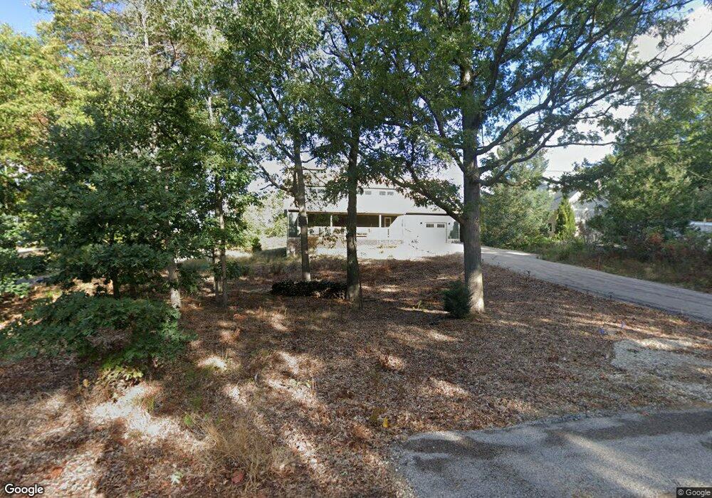
52201 E Arnold Dr New Buffalo, MI 49117
Estimated Value: $1,083,000 - $1,577,000
4
Beds
3
Baths
2,507
Sq Ft
$518/Sq Ft
Est. Value
About This Home
This home is located at 52201 E Arnold Dr, New Buffalo, MI 49117 and is currently estimated at $1,299,333, approximately $518 per square foot. 52201 E Arnold Dr is a home with nearby schools including New Buffalo Elementary School, New Buffalo Middle School, and New Buffalo Senior High School.
Ownership History
Date
Name
Owned For
Owner Type
Purchase Details
Closed on
Dec 13, 2011
Sold by
D & T Investments Llc
Bought by
Moore William E
Current Estimated Value
Purchase Details
Closed on
Jan 31, 2006
Sold by
Towne Michael J and Towne Janelle
Bought by
D & T Investments Llc
Purchase Details
Closed on
Apr 17, 2003
Sold by
Mcclung Michael and Mcclung Julia
Bought by
Towne Michael J
Home Financials for this Owner
Home Financials are based on the most recent Mortgage that was taken out on this home.
Original Mortgage
$192,000
Interest Rate
5.86%
Mortgage Type
Purchase Money Mortgage
Create a Home Valuation Report for This Property
The Home Valuation Report is an in-depth analysis detailing your home's value as well as a comparison with similar homes in the area
Purchase History
| Date | Buyer | Sale Price | Title Company |
|---|---|---|---|
| Moore William E | -- | Cti | |
| D & T Investments Llc | -- | None Available | |
| Towne Michael J | -- | -- |
Source: Public Records
Mortgage History
| Date | Status | Borrower | Loan Amount |
|---|---|---|---|
| Previous Owner | Towne Michael J | $192,000 |
Source: Public Records
Tax History
| Year | Tax Paid | Tax Assessment Tax Assessment Total Assessment is a certain percentage of the fair market value that is determined by local assessors to be the total taxable value of land and additions on the property. | Land | Improvement |
|---|---|---|---|---|
| 2025 | $8,408 | $528,600 | $0 | $0 |
| 2024 | $8,874 | $728,700 | $0 | $0 |
| 2023 | $8,481 | $681,200 | $0 | $0 |
| 2022 | $8,113 | $440,100 | $0 | $0 |
| 2021 | $9,578 | $364,700 | $70,300 | $294,400 |
| 2020 | $9,585 | $369,200 | $0 | $0 |
| 2019 | $9,552 | $366,100 | $90,100 | $276,000 |
| 2018 | $9,330 | $381,400 | $0 | $0 |
| 2017 | $7,619 | $273,800 | $0 | $0 |
| 2016 | $4,529 | $107,000 | $0 | $0 |
| 2015 | $4,296 | $97,500 | $0 | $0 |
| 2014 | $2,451 | $97,500 | $0 | $0 |
Source: Public Records
Map
Nearby Homes
- 52101 Main Dr
- 52202 Main Dr
- 51220 Main Dr
- 13178 Fedde Ave
- 18485 Dunecrest Dr Unit 25
- 18590 Forest Beach Dr
- 18654 Oldfield Rd
- 50005 High Point Ln
- 19253 White Pine Dr Unit 2
- 49035 Skyhi Dr
- 48020 Ridge Rd
- 48102 W Mckean Dr
- 200 Marx Dr
- 1501 Shore Dr
- 19409 U S 12
- 1501 W Water St Unit 8
- 1501 W Water St Unit 61
- 1501 W Water St Unit 71
- 1407 Shore Dr
- 1 Lilac Ln
- 52203 E Arnold Dr
- 0 Robin Ln
- 50220 Robin Ln
- 50230 Robin Ln
- 51230 E Arnold Dr
- 52205 E Arnold Dr
- 52204 Main Dr
- 51228 Main Dr
- 52301 Robin Ln
- 51323 E Arnold Dr
- 52220 E Arnold Dr
- 52302 E Arnold Dr
- 0 E Arnold Dr
- 52222 E Arnold Dr
- 51226 E Arnold Dr
- 51226 Main Dr
- 52206 Main Dr
- 52207 E Arnold Dr
- 52306 E Arnold Dr
- 51224 Main Dr
Your Personal Tour Guide
Ask me questions while you tour the home.