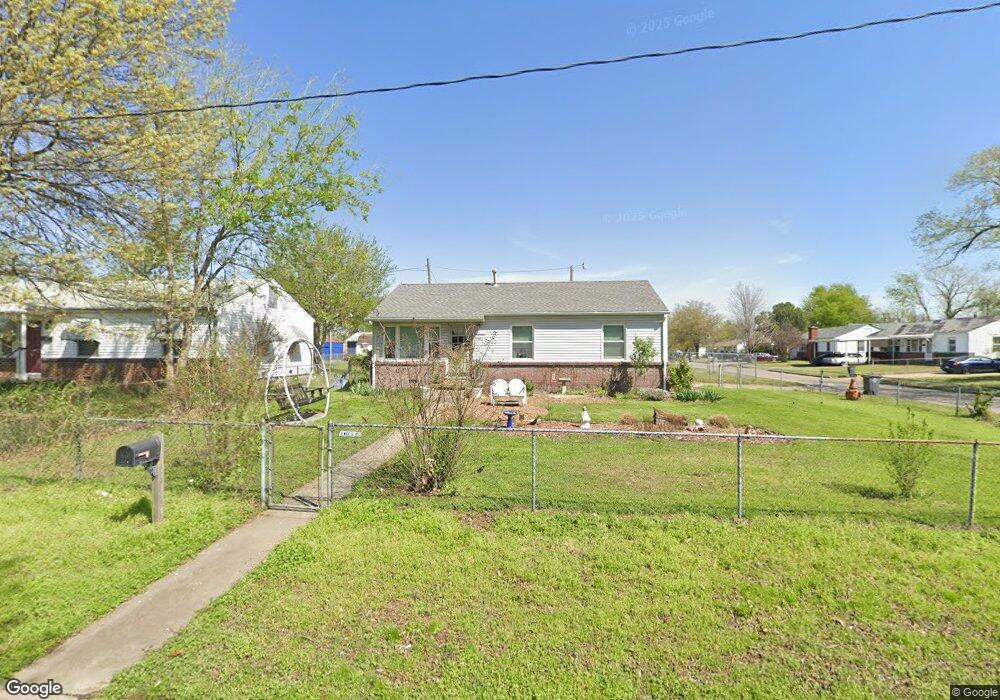
5221 E Independence St Tulsa, OK 74115
Maxwell NeighborhoodEstimated Value: $86,302 - $129,000
Studio
1
Bath
864
Sq Ft
$134/Sq Ft
Est. Value
About This Home
This home is located at 5221 E Independence St, Tulsa, OK 74115 and is currently estimated at $116,076, approximately $134 per square foot. 5221 E Independence St is a home located in Tulsa County with nearby schools including Owen Elementary School, Nathan Hale High School, and Sts. Peter & Paul Catholic School.
Ownership History
Date
Name
Owned For
Owner Type
Purchase Details
Closed on
Mar 11, 1999
Sold by
Smith Susetta
Bought by
Morgan Rick A and New Laura A
Current Estimated Value
Home Financials for this Owner
Home Financials are based on the most recent Mortgage that was taken out on this home.
Original Mortgage
$40,410
Interest Rate
6.73%
Mortgage Type
Purchase Money Mortgage
Purchase Details
Closed on
Dec 7, 1998
Sold by
Glanz Stanley and Hess Roberta L
Bought by
Smith Susetta
Create a Home Valuation Report for This Property
The Home Valuation Report is an in-depth analysis detailing your home's value as well as a comparison with similar homes in the area
Home Values in the Area
Average Home Value in this Area
Purchase History
| Date | Buyer | Sale Price | Title Company |
|---|---|---|---|
| Morgan Rick A | $45,000 | -- | |
| Smith Susetta | $17,908 | -- |
Source: Public Records
Mortgage History
| Date | Status | Borrower | Loan Amount |
|---|---|---|---|
| Closed | Morgan Rick A | $40,410 |
Source: Public Records
Tax History
| Year | Tax Paid | Tax Assessment Tax Assessment Total Assessment is a certain percentage of the fair market value that is determined by local assessors to be the total taxable value of land and additions on the property. | Land | Improvement |
|---|---|---|---|---|
| 2025 | $699 | $5,215 | $875 | $4,340 |
| 2024 | $617 | $5,033 | $929 | $4,104 |
| 2023 | $617 | $5,858 | $1,190 | $4,668 |
| 2022 | $625 | $4,687 | $1,142 | $3,545 |
| 2021 | $619 | $4,687 | $1,142 | $3,545 |
| 2020 | $611 | $4,687 | $1,142 | $3,545 |
| 2019 | $642 | $4,687 | $1,142 | $3,545 |
| 2018 | $644 | $4,687 | $1,142 | $3,545 |
| 2017 | $642 | $5,687 | $1,386 | $4,301 |
| 2016 | $629 | $5,687 | $1,386 | $4,301 |
| 2015 | $630 | $5,687 | $1,386 | $4,301 |
| 2014 | $624 | $5,687 | $1,386 | $4,301 |
Source: Public Records
Map
Nearby Homes
- 828 N Darlington Ave
- 1032 N Canton Ave
- 5219 E Latimer St
- 1215 N Yale Ave
- 818 N Toledo Ave
- 5305 E Admiral Blvd Unit A-B
- 807 N Kingston Ave
- 204 S Darlington Ave
- 5518 E 2nd St
- 111 N Quebec Ave
- 1409 N Winston Ave
- 26 S Urbana Ave
- 4716 E 2nd St S
- 815 N Oswego Ave
- 524 N Norwood Ave
- 5926 E Newton Place
- 6218 E Latimer St
- 28 S Toledo Ave
- 1333 N Irvington Ave
- 1049 N Oswego Ave
- 5213 E Independence St
- 814 N Darlington Ave
- 5209 E Independence St
- 818 N Darlington Ave
- 809 N Darlington Ave
- 803 N Darlington Ave
- 5224 E Independence St
- 5220 E Independence St
- 750 N Darlington Ave
- 813 N Canton Ave
- 813 N Darlington Ave
- 5214 E Independence St
- 5205 E Independence St
- 824 N Darlington Ave
- 817 N Canton Ave
- 819 N Darlington Ave
- 5210 E Independence St
- 740 N Darlington Ave
- 823 N Canton Ave
- 5206 E Independence St
Your Personal Tour Guide
Ask me questions while you tour the home.