5221 SE Burning Tree Cir Stuart, FL 34997
Estimated Value: $661,000 - $707,000
3
Beds
2
Baths
2,484
Sq Ft
$275/Sq Ft
Est. Value
About This Home
This home is located at 5221 SE Burning Tree Cir, Stuart, FL 34997 and is currently estimated at $681,986, approximately $274 per square foot. 5221 SE Burning Tree Cir is a home located in Martin County with nearby schools including Sea Wind Elementary School, Murray Middle School, and South Fork High School.
Ownership History
Date
Name
Owned For
Owner Type
Purchase Details
Closed on
Jul 30, 2013
Sold by
Nam Development Llc
Bought by
Mehra Vijay and Mehra Ruth A
Current Estimated Value
Home Financials for this Owner
Home Financials are based on the most recent Mortgage that was taken out on this home.
Original Mortgage
$265,000
Interest Rate
5%
Mortgage Type
Seller Take Back
Purchase Details
Closed on
May 25, 2011
Sold by
Sanchez Richard Rhodes
Bought by
Nam Development Llc
Purchase Details
Closed on
Nov 10, 1993
Sold by
Scarpellino Carmen J and Scarpellino Eleanor V
Bought by
Sanchez Richard Rhodes
Home Financials for this Owner
Home Financials are based on the most recent Mortgage that was taken out on this home.
Original Mortgage
$151,525
Interest Rate
6.97%
Create a Home Valuation Report for This Property
The Home Valuation Report is an in-depth analysis detailing your home's value as well as a comparison with similar homes in the area
Home Values in the Area
Average Home Value in this Area
Purchase History
| Date | Buyer | Sale Price | Title Company |
|---|---|---|---|
| Mehra Vijay | $275,000 | Attorney | |
| Nam Development Llc | $128,000 | Attorney | |
| Sanchez Richard Rhodes | $159,500 | -- |
Source: Public Records
Mortgage History
| Date | Status | Borrower | Loan Amount |
|---|---|---|---|
| Closed | Mehra Vijay | $265,000 | |
| Previous Owner | Sanchez Richard Rhodes | $151,525 |
Source: Public Records
Tax History
| Year | Tax Paid | Tax Assessment Tax Assessment Total Assessment is a certain percentage of the fair market value that is determined by local assessors to be the total taxable value of land and additions on the property. | Land | Improvement |
|---|---|---|---|---|
| 2025 | $4,211 | $278,574 | -- | -- |
| 2024 | $4,119 | $270,724 | -- | -- |
| 2023 | $4,119 | $262,839 | $0 | $0 |
| 2022 | $3,969 | $255,184 | $0 | $0 |
| 2021 | $3,970 | $247,752 | $0 | $0 |
| 2020 | $3,867 | $244,332 | $0 | $0 |
| 2019 | $3,804 | $238,839 | $0 | $0 |
| 2018 | $3,709 | $234,386 | $0 | $0 |
| 2017 | $3,184 | $229,565 | $0 | $0 |
| 2016 | $3,448 | $224,843 | $0 | $0 |
| 2015 | $3,420 | $223,280 | $145,000 | $78,280 |
| 2014 | $3,420 | $230,400 | $150,000 | $80,400 |
Source: Public Records
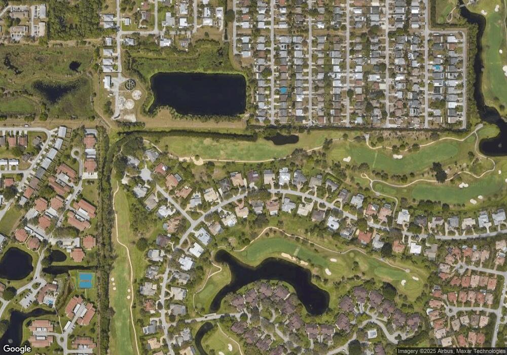
Map
Nearby Homes
- 5220 SE Burning Tree Cir
- 6061 SE Medinah Ln
- 5929 SE Collins Ave
- 5879 SE Wilsie Dr
- 5151 SE Burning Tree Cir
- 5011 SE Brandywine Way
- 5071 SE Brandywine Way Unit 8
- 5311 SE Brandywine Way Unit 28
- 5785 SE Collins Ave
- 5101 SE Burning Tree Cir
- 5783 SE Mercedes Ave
- 5361 SE Merion Way
- 5081 SE Burning Tree Cir
- 6403 SE Brandywine Ct Unit 223
- 6404 SE Brandywine Ct Unit 104
- 5382 SE Meredith Terrace
- 6433 SE Brandywine Ct Unit 219
- 5061 SE Burning Tree Cir
- 5402 SE Meredith Terrace
- 6384 SE Ironwood Cir
- 5211 SE Burning Tree Cir
- 5231 SE Burning Tree Cir
- 5205 SE Burning Tree Cir
- 5241 SE Burning Tree Cir
- 5210 SE Burning Tree Cir
- 5240 SE Burning Tree Cir
- 5200 SE Burning Tree Cir
- 5245 SE Burning Tree Cir
- 5250 SE Burning Tree Cir
- 5190 SE Burning Tree Cir
- 5191 SE Burning Tree Cir
- 5251 SE Burning Tree Cir
- 5977 SE Collins Ave
- 5964 SE Collins Ave
- 5965 SE Collins Ave
- 6081 SE Medinah Ln
- 5952 SE Collins Ave
- 5974 SE Wilsie Dr
- 5260 SE Burning Tree Cir
- 5180 SE Burning Tree Cir
Your Personal Tour Guide
Ask me questions while you tour the home.