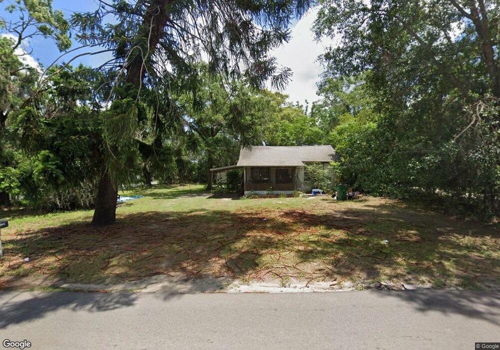
5222 20th St Zephyrhills, FL 33542
Estimated Value: $120,000 - $184,918
Studio
1
Bath
1,332
Sq Ft
$120/Sq Ft
Est. Value
About This Home
This home is located at 5222 20th St, Zephyrhills, FL 33542 and is currently estimated at $160,230, approximately $120 per square foot. 5222 20th St is a home located in Pasco County with nearby schools including West Zephyrhills Elementary School, Raymond B. Stewart Middle School, and Zephyrhills High School.
Ownership History
Date
Name
Owned For
Owner Type
Purchase Details
Closed on
Nov 29, 2007
Sold by
Morrison Mark and Morrison Suzanne
Bought by
Phillips David Walter and Heslin Tamela Lynnell
Current Estimated Value
Home Financials for this Owner
Home Financials are based on the most recent Mortgage that was taken out on this home.
Original Mortgage
$77,000
Outstanding Balance
$47,823
Interest Rate
6.29%
Mortgage Type
Unknown
Estimated Equity
$112,407
Purchase Details
Closed on
May 4, 1998
Sold by
Neumann A Neumann W and Neumann T L
Bought by
Morrison Mark and Morrison Suzanne
Home Financials for this Owner
Home Financials are based on the most recent Mortgage that was taken out on this home.
Original Mortgage
$33,500
Interest Rate
7.03%
Mortgage Type
New Conventional
Create a Home Valuation Report for This Property
The Home Valuation Report is an in-depth analysis detailing your home's value as well as a comparison with similar homes in the area
Home Values in the Area
Average Home Value in this Area
Purchase History
| Date | Buyer | Sale Price | Title Company |
|---|---|---|---|
| Phillips David Walter | $77,000 | Sunstate Title Agency Inc | |
| Morrison Mark | $33,000 | -- |
Source: Public Records
Mortgage History
| Date | Status | Borrower | Loan Amount |
|---|---|---|---|
| Open | Phillips David Walter | $77,000 | |
| Previous Owner | Morrison Mark | $41,600 | |
| Previous Owner | Morrison Mark | $33,500 |
Source: Public Records
Tax History
| Year | Tax Paid | Tax Assessment Tax Assessment Total Assessment is a certain percentage of the fair market value that is determined by local assessors to be the total taxable value of land and additions on the property. | Land | Improvement |
|---|---|---|---|---|
| 2026 | $295 | $35,190 | -- | -- |
| 2025 | $295 | $35,190 | -- | -- |
| 2024 | $295 | $33,240 | -- | -- |
| 2023 | $268 | $32,280 | $0 | $0 |
| 2022 | $232 | $31,340 | $0 | $0 |
| 2021 | $207 | $30,430 | $23,700 | $6,730 |
| 2020 | $191 | $30,010 | $14,540 | $15,470 |
| 2019 | $162 | $29,340 | $0 | $0 |
| 2018 | $144 | $28,800 | $0 | $0 |
| 2017 | $133 | $28,800 | $0 | $0 |
| 2016 | $118 | $27,628 | $0 | $0 |
| 2015 | $115 | $27,436 | $0 | $0 |
| 2014 | $109 | $27,440 | $12,540 | $14,900 |
Source: Public Records
Map
Nearby Homes
- 38919 3rd Ave
- 5338 23rd St
- 39252 Heights Ave
- 5520 20th St
- 39219 5th Ave
- 5532 20th St
- 39147 6th Ave
- 5543 19th St
- 5333 Tangerine Dr
- 5449 12th St
- 39410 Kennedy Ave
- 39352 6th Ave
- 4755 20th St
- 39431 Lincoln Ave
- 5542 Bethany Loop
- 5647 19th St
- 5548 Bethany Loop
- 4801 Airport Rd Unit 118
- 5600 Jennie St Unit 15
- 4741 18th St
Your Personal Tour Guide
Ask me questions while you tour the home.