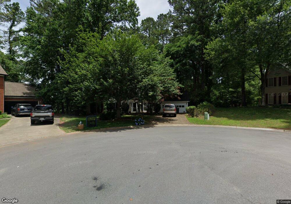
5222 Michaels Way Unit 2 Woodstock, GA 30188
Estimated Value: $457,000 - $474,060
4
Beds
3
Baths
2,198
Sq Ft
$212/Sq Ft
Est. Value
About This Home
This home is located at 5222 Michaels Way Unit 2, Woodstock, GA 30188 and is currently estimated at $465,530, approximately $211 per square foot. 5222 Michaels Way Unit 2 is a home located in Cherokee County with nearby schools including Arnold Mill Elementary School, Mill Creek Middle School, and River Ridge High School.
Ownership History
Date
Name
Owned For
Owner Type
Purchase Details
Closed on
Aug 30, 2007
Sold by
Barwick Thomas N
Bought by
Vines Theresa L
Current Estimated Value
Purchase Details
Closed on
Jun 27, 2002
Sold by
Andreassen Lars R and Yvonne C
Bought by
Barwick Thomas N and Barwick Theresa L
Home Financials for this Owner
Home Financials are based on the most recent Mortgage that was taken out on this home.
Original Mortgage
$167,400
Interest Rate
6.38%
Mortgage Type
New Conventional
Create a Home Valuation Report for This Property
The Home Valuation Report is an in-depth analysis detailing your home's value as well as a comparison with similar homes in the area
Home Values in the Area
Average Home Value in this Area
Purchase History
| Date | Buyer | Sale Price | Title Company |
|---|---|---|---|
| Vines Theresa L | -- | -- | |
| Barwick Thomas N | $186,000 | -- |
Source: Public Records
Mortgage History
| Date | Status | Borrower | Loan Amount |
|---|---|---|---|
| Previous Owner | Barwick Thomas N | $167,400 |
Source: Public Records
Tax History Compared to Growth
Tax History
| Year | Tax Paid | Tax Assessment Tax Assessment Total Assessment is a certain percentage of the fair market value that is determined by local assessors to be the total taxable value of land and additions on the property. | Land | Improvement |
|---|---|---|---|---|
| 2025 | $4,349 | $165,612 | $34,800 | $130,812 |
| 2024 | $4,387 | $168,816 | $34,800 | $134,016 |
| 2023 | $3,970 | $152,780 | $31,600 | $121,180 |
| 2022 | $3,654 | $139,024 | $28,800 | $110,224 |
| 2021 | $3,316 | $116,824 | $24,000 | $92,824 |
| 2020 | $2,929 | $103,068 | $17,600 | $85,468 |
| 2019 | $2,777 | $97,720 | $17,600 | $80,120 |
| 2018 | $2,528 | $88,440 | $17,600 | $70,840 |
| 2017 | $2,499 | $216,800 | $17,600 | $69,120 |
| 2016 | $2,381 | $204,500 | $16,800 | $65,000 |
| 2015 | $2,156 | $183,300 | $12,240 | $61,080 |
| 2014 | $2,023 | $171,700 | $12,240 | $56,440 |
Source: Public Records
Map
Nearby Homes
- 5305 Shotwell Ct Unit III
- 1486 Willow Bend
- Magnolia Plan at Magnolia Reserve
- Chatham Plan at Magnolia Reserve
- Turnberry Plan at Magnolia Reserve
- Heritage Plan at Magnolia Reserve
- 119 Chateau Place
- 103 Branch Dr
- 212 Fernwood Place
- 321 Knollwood Ln
- LOT 4 Cox Rd
- LOT 3 Cox Rd
- LOT 2 Cox Rd
- 174 Mooney Rd
- Lot 1 Cox Rd
- 5220 Michaels Way
- 5508 Southlands Ct
- 5219 Michaels Way
- 5510 Southlands Ct
- 5218 Michaels Way Unit 2
- 5217 Michaels Way
- 5506 Southlands Ct Unit III
- 1639 Willow Way
- 1641 Willow Way Unit 316
- 1641 Willow Way
- 5215 Michaels Way Unit 2
- 5216 Michaels Way
- 1643 Willow Way
- 5504 Southlands Ct
- 5513 Southlands Ct Unit III
- 5213 Michaels Way
- 5144 Shotwell St
- 5214 Michaels Way Unit 2
- 5142 Shotwell St
- 5146 Shotwell St