Estimated Value: $243,339
--
Bed
--
Bath
1,718
Sq Ft
$142/Sq Ft
Est. Value
About This Home
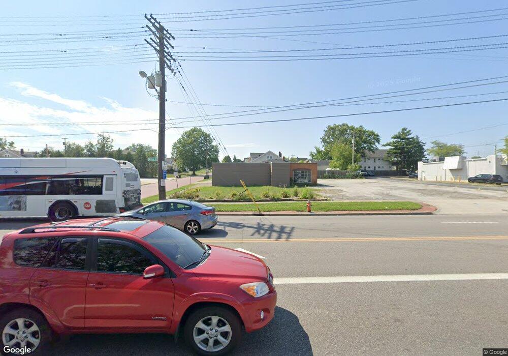
This home is located at 5222 Ridge Rd, Parma, OH 44129 and is currently estimated at $243,339, approximately $141 per square foot. 5222 Ridge Rd is a home located in Cuyahoga County with nearby schools including Ridge-Brook Elementary School, Greenbriar Middle School, and Parma High School.
Ownership History
Date
Name
Owned For
Owner Type
Purchase Details
Closed on
Jan 8, 2020
Sold by
20Fus Llc
Bought by
Cdj Marketing Inc
Current Estimated Value
Purchase Details
Closed on
Oct 3, 2017
Sold by
S Att Investments Ltd
Bought by
2 Of Us Llc
Purchase Details
Closed on
Mar 31, 1997
Sold by
Costaras Constatine W
Bought by
Abdallah George and Abdallah Toufic
Home Financials for this Owner
Home Financials are based on the most recent Mortgage that was taken out on this home.
Original Mortgage
$180,000
Interest Rate
7.73%
Mortgage Type
Commercial
Create a Home Valuation Report for This Property
The Home Valuation Report is an in-depth analysis detailing your home's value as well as a comparison with similar homes in the area
Home Values in the Area
Average Home Value in this Area
Purchase History
| Date | Buyer | Sale Price | Title Company |
|---|---|---|---|
| Cdj Marketing Inc | $140,000 | Gateway Title Agency | |
| 2 Of Us Llc | -- | None Available | |
| Abdallah George | $360,000 | -- |
Source: Public Records
Mortgage History
| Date | Status | Borrower | Loan Amount |
|---|---|---|---|
| Previous Owner | Abdallah George | $180,000 |
Source: Public Records
Tax History Compared to Growth
Tax History
| Year | Tax Paid | Tax Assessment Tax Assessment Total Assessment is a certain percentage of the fair market value that is determined by local assessors to be the total taxable value of land and additions on the property. | Land | Improvement |
|---|---|---|---|---|
| 2024 | $2,060 | $24,080 | $8,400 | $15,680 |
| 2023 | $1,619 | $18,520 | $7,560 | $10,960 |
| 2022 | $1,630 | $18,520 | $7,560 | $10,960 |
| 2021 | $1,685 | $18,520 | $7,560 | $10,960 |
| 2020 | $4,453 | $48,090 | $8,400 | $39,690 |
| 2019 | $4,479 | $137,400 | $24,000 | $113,400 |
| 2018 | $5,589 | $48,090 | $8,400 | $39,690 |
| 2017 | $6,882 | $75,150 | $9,280 | $65,870 |
| 2016 | $6,931 | $75,150 | $9,280 | $65,870 |
| 2015 | $23,250 | $75,150 | $9,280 | $65,870 |
| 2014 | $23,250 | $81,690 | $10,080 | $71,610 |
Source: Public Records
Map
Nearby Homes
- 7707 Liberty Ave
- 8206 Newport Ave
- 6211 Luelda Ave
- 6606 Theota Ave
- 6508 Delora Ave
- 6306 Flowerdale Ave
- 6014 Laverne Ave
- 5906 Velma Ave
- 5810 Laverne Ave
- 6209 Archmere Ave
- 6025 Northcliff Ave
- 8018 Pinegrove Ave
- 5901 Delora Ave
- 6011 Theota Ave
- 5637 Flowerdale Ave
- 5511 Velma Ave
- 5618 Bradley Ave
- 8119 Pinegrove Ave
- 4739 Ridge Rd
- 5406 Merkle Ave
- 7318 Liberty Ave
- 5236 Ridge Rd
- 7402 Liberty Ave
- 7403 Liberty Ave
- 7407 Liberty Ave
- 7410 Liberty Ave
- 7407 7409 Brookpark Rd
- 7407 Brookpark Rd
- 7405 Liberty Ave Unit Up
- 7411 Liberty Ave
- 7411 Brookpark Rd
- 7414 Liberty Ave
- 7318 Newport Ave
- 7402 Newport Ave
- 7415 Liberty Ave
- 7418 Liberty Ave
- 7406 Newport Ave
- 7419 Liberty Ave
- 7410 Newport Ave
- 7502 Liberty Ave