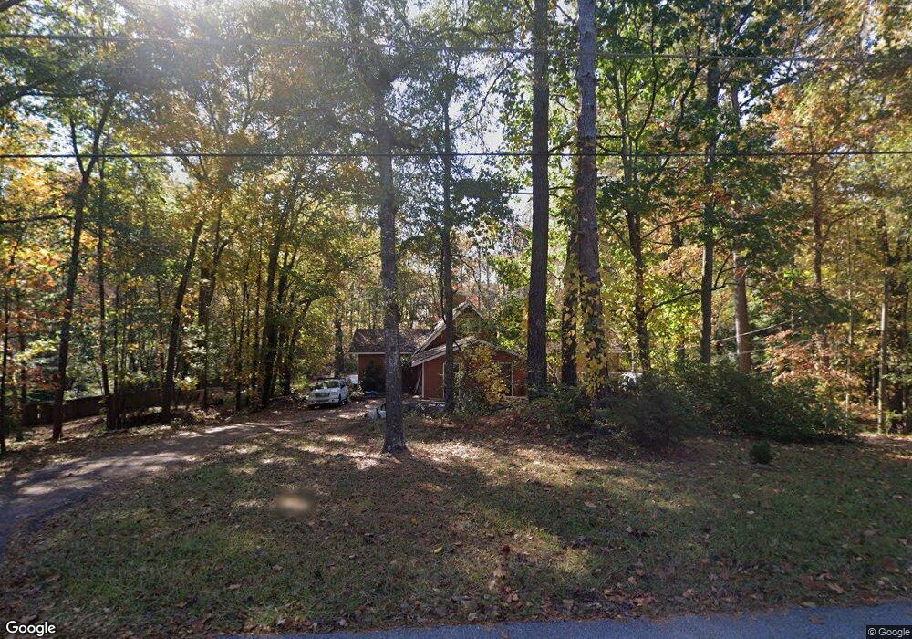
5223 Paul Cir SW Conyers, GA 30094
Estimated Value: $296,000 - $363,000
3
Beds
3
Baths
2,064
Sq Ft
$155/Sq Ft
Est. Value
About This Home
This home is located at 5223 Paul Cir SW, Conyers, GA 30094 and is currently estimated at $319,683, approximately $154 per square foot. 5223 Paul Cir SW is a home located in Rockdale County with nearby schools including Lorraine Elementary School, Gen. Ray Davis Middle School, and Salem High School.
Ownership History
Date
Name
Owned For
Owner Type
Purchase Details
Closed on
Oct 9, 2007
Sold by
Aprea Frank
Bought by
Lopez Rufino and Lopez Sandra
Current Estimated Value
Home Financials for this Owner
Home Financials are based on the most recent Mortgage that was taken out on this home.
Original Mortgage
$68,000
Interest Rate
6.41%
Purchase Details
Closed on
Jan 5, 1996
Sold by
Jacobs Donald
Bought by
Aprea Frank
Create a Home Valuation Report for This Property
The Home Valuation Report is an in-depth analysis detailing your home's value as well as a comparison with similar homes in the area
Home Values in the Area
Average Home Value in this Area
Purchase History
| Date | Buyer | Sale Price | Title Company |
|---|---|---|---|
| Lopez Rufino | $85,000 | -- | |
| Aprea Frank | $80,000 | -- |
Source: Public Records
Mortgage History
| Date | Status | Borrower | Loan Amount |
|---|---|---|---|
| Closed | Lopez Rufino | $68,000 | |
| Closed | Aprea Frank | $0 |
Source: Public Records
Tax History Compared to Growth
Tax History
| Year | Tax Paid | Tax Assessment Tax Assessment Total Assessment is a certain percentage of the fair market value that is determined by local assessors to be the total taxable value of land and additions on the property. | Land | Improvement |
|---|---|---|---|---|
| 2024 | $2,904 | $119,960 | $28,960 | $91,000 |
| 2023 | $2,613 | $112,360 | $27,600 | $84,760 |
| 2022 | $2,071 | $91,240 | $23,000 | $68,240 |
| 2021 | $1,729 | $73,680 | $17,200 | $56,480 |
| 2020 | $1,705 | $71,840 | $14,920 | $56,920 |
| 2019 | $1,587 | $66,600 | $12,280 | $54,320 |
| 2018 | $1,342 | $58,360 | $10,560 | $47,800 |
| 2017 | $1,168 | $52,240 | $10,800 | $41,440 |
| 2016 | $1,078 | $52,240 | $10,800 | $41,440 |
| 2015 | $1,010 | $49,800 | $8,360 | $41,440 |
| 2014 | $904 | $49,800 | $8,360 | $41,440 |
| 2013 | -- | $56,320 | $19,000 | $37,320 |
Source: Public Records
Map
Nearby Homes
- 5190 Paul Cir SW
- 5170 Paul Cir SW
- 307 Winding Stream Trail SW
- 1700 Bailey Creek Rd SW
- 339 Buckingham Dr SW
- 5515 Deer Run Dr SW
- 5162 Kurt Ln SW
- 1675 Bailey Creek Rd SW
- 120 Wintergreen Ct
- 1721 Windsong Dr SW
- 2004 Fontainbleau Dr
- 5142 Fawn Ln SW
- 4980 W Lake Dr SE
- 1709 Elizabeth Ct SW
- 1740 Elizabeth Ct SW
- 1769 Elizabeth Ct SW
- 1459 Highway 212 SW
- 1765 Elizabeth Ct SW
- 2104 Lacroix Way
- 4731 Shadybrook Way SE Unit 2
- 5225 Paul Cir SW
- 150 Deacons Walk SW
- 5221 Paul Cir SW
- 157 Deacons Walk SW
- 157 Deacons Walk SW Unit 6
- 5320 Annie Mitchell Dr SW Unit 4
- 5226 Paul Cir SW
- 5211 Paul Cir SW
- 5227 Paul Cir SW
- 154 Deacons Walk SW
- 154 Deacons Walk SW Unit 8
- 161 Deacons Walk SW
- 161 Deacons Walk SW Unit 5
- 5302 Annie Mitchell Dr SW
- 5209 Paul Cir SW
- 5230 Paul Cir SW
- 5214 Paul Cir SW
- 158 Deacons Walk SW
- 158 Deacons Walk SW Unit 9