Estimated Value: $378,000 - $416,005
4
Beds
3
Baths
2,412
Sq Ft
$166/Sq Ft
Est. Value
About This Home
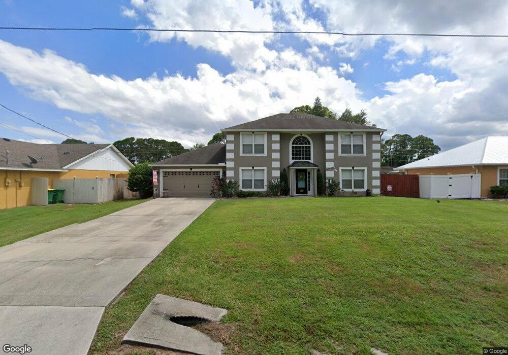
This home is located at 5223 Vance Place, Cocoa, FL 32927 and is currently estimated at $401,001, approximately $166 per square foot. 5223 Vance Place is a home located in Brevard County with nearby schools including Challenger 7 Elementary School, Space Coast Junior/Senior High School, and Sculptor Charter School.
Ownership History
Date
Name
Owned For
Owner Type
Purchase Details
Closed on
Jul 7, 2005
Sold by
Maronda Homes Inc Of Florida
Bought by
Adams Mark S and Adams Brenda K
Current Estimated Value
Home Financials for this Owner
Home Financials are based on the most recent Mortgage that was taken out on this home.
Original Mortgage
$172,255
Interest Rate
5.54%
Purchase Details
Closed on
May 5, 2004
Sold by
Stephens Joan M
Bought by
Maronda Homes Inc Of Florida
Create a Home Valuation Report for This Property
The Home Valuation Report is an in-depth analysis detailing your home's value as well as a comparison with similar homes in the area
Home Values in the Area
Average Home Value in this Area
Purchase History
| Date | Buyer | Sale Price | Title Company |
|---|---|---|---|
| Adams Mark S | $174,900 | Adams Title Inc | |
| Maronda Homes Inc Of Florida | $50,000 | Adams Title Inc |
Source: Public Records
Mortgage History
| Date | Status | Borrower | Loan Amount |
|---|---|---|---|
| Closed | Adams Mark S | $172,255 |
Source: Public Records
Tax History Compared to Growth
Tax History
| Year | Tax Paid | Tax Assessment Tax Assessment Total Assessment is a certain percentage of the fair market value that is determined by local assessors to be the total taxable value of land and additions on the property. | Land | Improvement |
|---|---|---|---|---|
| 2025 | $2,235 | $159,070 | -- | -- |
| 2024 | $2,191 | $154,590 | -- | -- |
| 2023 | $2,191 | $150,090 | $0 | $0 |
| 2022 | $2,054 | $145,720 | $0 | $0 |
| 2021 | $2,075 | $141,480 | $0 | $0 |
| 2020 | $1,991 | $139,530 | $0 | $0 |
| 2019 | $1,843 | $130,160 | $0 | $0 |
| 2018 | $1,840 | $127,740 | $0 | $0 |
| 2017 | $1,841 | $125,120 | $0 | $0 |
| 2016 | $1,855 | $122,550 | $18,000 | $104,550 |
| 2015 | $1,889 | $121,700 | $15,000 | $106,700 |
| 2014 | $1,896 | $120,740 | $11,000 | $109,740 |
Source: Public Records
Map
Nearby Homes
- 5220 Holden Rd
- 5145 Fay Blvd
- 5275 Holden Rd
- 5049 Jamaica Rd
- 6375 Cable Ave
- 6240 Grissom Pkwy
- 00 Unknown
- 6061 Banbury Ave
- 5149 Arlington Rd Unit 104
- 4975 Fay Blvd
- 5446 Jamaica Rd
- 6175 Grissom Pkwy
- 5460 Holden Rd
- 0000 Grissom Pkwy
- 5265 Fay Blvd
- 5997 Jenkins Ave
- 6615 Dock Ave
- 5946 Deer Ln
- 6390 Depot Ave
- 6017 Flamingo Ave
- 5211 Vance Place
- 5235 Vance Place
- 5220 Fay Blvd
- 5210 Fay Blvd Unit 4
- 5210 Fay Blvd
- 5230 Fay Blvd
- 5210 N Fay
- 5199 Vance Place
- 5247 Vance Place
- 6353 Dane Ave
- 5210 Vance Place
- 5200 Fay Blvd
- 5240 Fay Blvd
- 5187 Vance Place
- 5259 Vance Place
- 5190 Vance Place
- 6352 Dane Ave
- 5190 Fay Blvd
- 5250 Fay Blvd
- 5180 Vance Place